
| Distance / Altitude | Location | Report Date / Time | Live Weather | Wind | Gusts | Temp. | Visibility | Cloud |
|---|---|---|---|---|---|---|---|---|
| 17 km ENE / 7 m | Nausori (Fiji) | 2026-07-06 09:00 local (2026/07/05 21:00 GMT) | no report | light winds from the SE (11 km/h at 130) | 25°C | 50 | - | |
| 17 km ENE / 106 m | Nausori International Airport (Fiji/tonga/tuvalu) | 2026-07-06 08:00 local (2026/07/05 20:00 GMT) | Dry and partly cloudy | calm (4 km/h at 1) | 17°C | 10.0 | scattered | |
| 17 km ENE / 106 m | Nausori International Airport (Fiji/tonga/tuvalu) | 2026-07-06 08:00 local (2026/07/05 20:00 GMT) | Dry and partly cloudy | calm (4 km/h at 1) | 17°C | 10.0 | scattered | |
| 93 km WSW / 6 m | Sigatoka (Fiji) | 2026-07-06 09:15 local (2026/07/05 21:15 GMT) | dry | calm (0 km/h at ) | — | - | - - 0 | |
| 108 km WSW / 8 m | Sigatoka (Fiji) | 2026-07-06 09:00 local (2026/07/05 21:00 GMT) | no report | wind obs. (7 kph from 140 degs) was rejected (- km/h at -) | 26°C | - | - | |
| 112 km W / 44 m | Nandi/Nadi International Airport (Fiji) | 2026-07-06 08:00 local (2026/07/05 20:00 GMT) | - | light winds from the SE (9 km/h at 130) | 19°C | 10.0 | few | |
| 112 km W / 31 m | Nadi (Fiji) | 2026-07-06 09:00 local (2026/07/05 21:00 GMT) | no report | calm (4 km/h at 140) | 26°C | - | - | |
| 112 km W / 24 m | Nadi Airport (Fiji) | 2026-07-06 09:00 local (2026/07/05 21:00 GMT) | no report | light winds from the S (9 km/h at 190) | 25°C | 50 | few - - | |
| 174 km NNE / 13 m | Savusavu Airport (Fiji/tonga/tuvalu) | 2026-07-06 08:00 local (2026/07/05 20:00 GMT) | - | calm (0 km/h at 0) | 21°C | 10.0 | few | |
| 178 km SE / 5 m | Matuku (Fiji) | 2026-07-06 09:00 local (2026/07/05 21:00 GMT) | no report | light winds from the SSE (15 km/h at 160) | 25°C | - | - |
| Contours: | Roads & Rivers: | Select a
tide station / surf break / city |
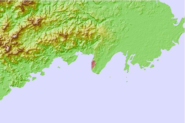
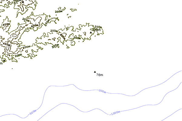
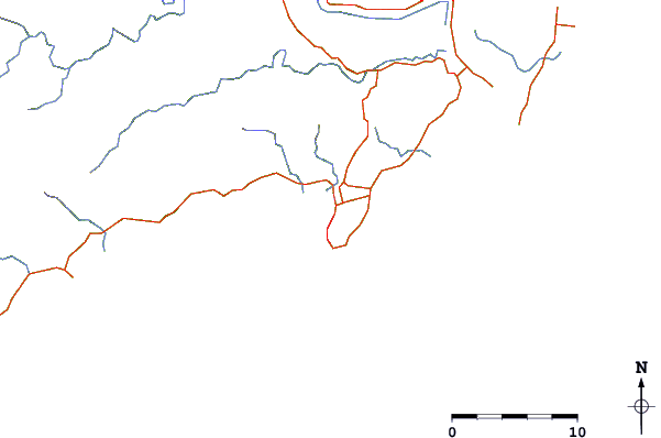
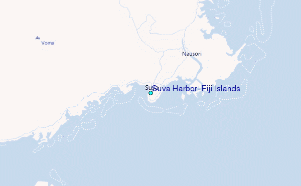
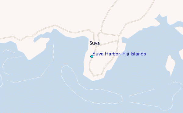
Use this relief map to navigate to tide stations, surf breaks and cities that are in the area of Suva Harbor, Fiji Islands.
Other Nearby Locations' tide tables and tide charts to Suva Harbor, Fiji Islands:
click location name for more details
 Surf breaks close to Suva Harbor, Fiji Islands:
|
||
|---|---|---|
| Closest surf break | Lighthouse | 2 mi |
| Second closest surf break | Serua Rights | 33 mi |
| Third closest surf break | Waidroka | 35 mi |
| Fourth closest surf break | Frigates | 36 mi |
| Fifth closest surf break | Pipes | 37 mi |


 Nearest
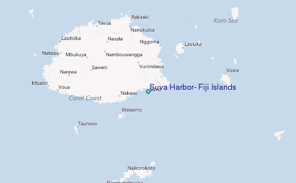