
| Distance / Altitude | Location | Report Date / Time | Live Weather | Wind | Gusts | Temp. | Visibility | Cloud |
|---|---|---|---|---|---|---|---|---|
| 294 km SE / 3 m | Kiritimati Airport (Christmas Island) (Kiribati) | 2026-07-10 09:00 local (2026/07/09 19:00 GMT) | - | calm (4 km/h at 10) | 26°C | |||
| 1432 km S / 1 m | Penrhyn Automatic Weather Station (Cook Islands) | 2026-07-10 08:00 local (2026/07/09 18:00 GMT) | no report | moderate winds from the E (28 km/h at 80) | 29°C | - | - | |
| 1473 km N / 3 m | SW Hawaii Buoy (Marine) | 2026-07-10 09:50 local (2026/07/09 19:50 GMT) | fresh winds from the ENE (29 km/h at 70) | 27°C | - | |||
| 1549 km S / 5 m | Rakahanga Atoll Airport (Samoa/polynesia) | 2026-07-10 09:00 local (2026/07/09 19:00 GMT) | - | calm (2 km/h at 230) | 28°C | |||
| 1584 km S / 0 m | Manihiki Island Airport (Samoa/polynesia) | 2026-07-10 09:00 local (2026/07/09 19:00 GMT) | - | calm (4 km/h at 60) | 29°C | |||
| 1590 km S / 2 m | Manihiki Automatic Weather Station (Cook Islands) | 2026-07-10 08:00 local (2026/07/09 18:00 GMT) | no report | wind obs. (9 kph from 120 degs) was rejected (- km/h at -) | 27°C | - | - | |
| 1590 km S / 2 m | Manihiki (Cook Islands) | 2026-07-10 08:00 local (2026/07/09 18:00 GMT) | no report | wind obs. (9 kph from 120 degs) was rejected (- km/h at -) | 27°C | - | - - - | |
| 1700 km NNE / 3 m | BUOY-51004 (Marine) | 2026-07-10 09:50 local (2026/07/09 19:50 GMT) | fresh winds from the ENE (32 km/h at 70) | 27°C | - | |||
| 1752 km NNE / 473 m | Captain Cook (Hawaii) | 2026-07-10 10:17 local (2026/07/09 20:17 GMT) | - | calm (3 km/h at 234) | — | - | - - 0 | |
| 1775 km ESE / 15 m | ASCATB216E0N (Marine) | 2026-07-10 08:00 local (2026/07/09 18:00 GMT) | light winds from the ESE (19 km/h at 123) | — | - km |
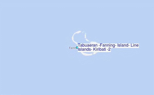
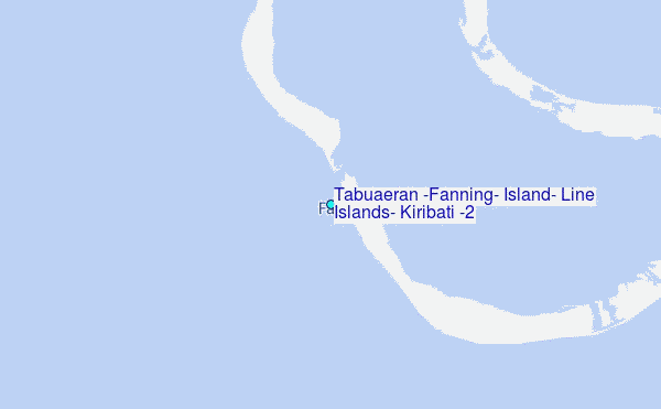
Choose Tabuaeran (Fanning) Island, Line Islands, Kiribati (2) Location Map Zoom:
| Contours: | Roads & Rivers: | Select a
tide station / surf break / city |
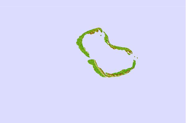
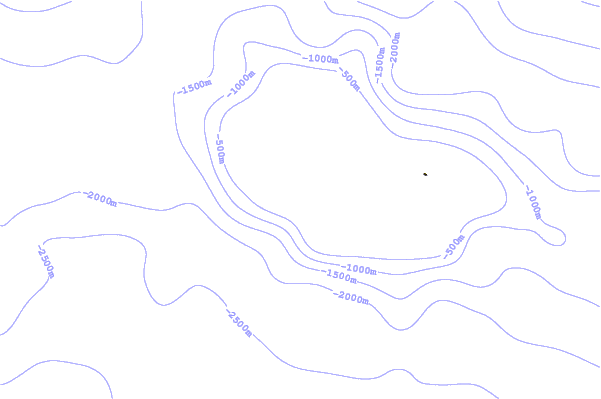
Use this relief map to navigate to tide stations, surf breaks and cities that are in the area of Tabuaeran (Fanning) Island, Line Islands, Kiribati (2).
Other Nearby Locations' tide tables and tide charts to Tabuaeran (Fanning) Island, Line Islands, Kiribati (2):
click location name for more details
 Surf breaks close to Tabuaeran (Fanning) Island, Line Islands, Kiribati (2):
|
||
|---|---|---|
| Closest surf break | English Channel Left (Fanning Island) | 1 mi |
| Second closest surf break | Kaalualu Point | 1073 mi |
| Third closest surf break | Kahuku Ranch | 1073 mi |
| Fourth closest surf break | The Point_Punaluu | 1076 mi |
| Fifth closest surf break | Punaluu | 1078 mi |


 Nearest
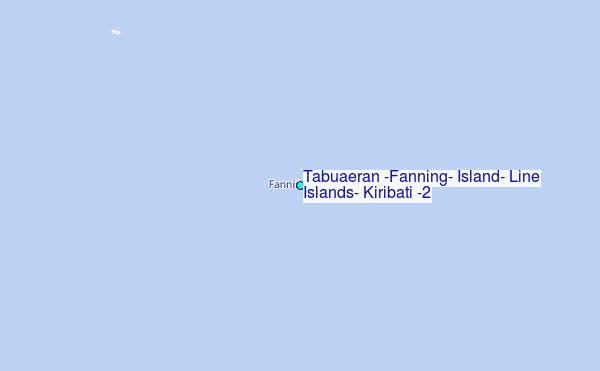