
| Distance / Altitude | Location | Report Date / Time | Live Weather | Wind | Gusts | Temp. | Visibility | Cloud |
|---|---|---|---|---|---|---|---|---|
| 45 km SSW / 179 m | Mombasa-Moi International Airport (Kenya) | 2026-07-09 21:30 local (2026/07/09 18:30 GMT) | Dry and partly cloudy | light winds from the SW (6 km/h at 230) | 24°C | 10.0 | scattered - - | |
| 56 km E / 15 m | ASCATB40E4S (Marine) | 2026-07-09 21:49 local (2026/07/09 18:49 GMT) | fresh winds from the SE (29 km/h at 145) | — | - km | |||
| 59 km NNE / 1 m | Malindi Airport (Kenya) | 2026-07-09 21:00 local (2026/07/09 18:00 GMT) | - | light winds from the S (19 km/h at 170) | — | 0.0 | ||
| 103 km SE / 15 m | ASCATB41E4S (Marine) | 2026-07-09 21:48 local (2026/07/09 18:48 GMT) | moderate winds from the SSE (27 km/h at 147) | — | - km | |||
| 104 km SSE / 15 m | ASCATB40E5S (Marine) | 2026-07-09 21:48 local (2026/07/09 18:48 GMT) | moderate winds from the SSE (26 km/h at 148) | — | - km | |||
| 125 km SE / 15 m | ASCATB41E5S (Marine) | 2026-07-09 21:48 local (2026/07/09 18:48 GMT) | moderate winds from the SSE (28 km/h at 149) | — | - km | |||
| 147 km W / 87 m | Voi (Kenya) | 2026-07-09 22:00 local (2026/07/09 19:00 GMT) | no report | wind obs. (15 kph from 240 degs) was rejected (- km/h at -) | 22°C | 30 | - | |
| 196 km NE / 1 m | Lamu (Kenya) | 2026-07-09 22:00 local (2026/07/09 19:00 GMT) | no report | light winds from the S (13 km/h at 180) | 30°C | 30 | - | |
| 213 km SSE / 15 m | ASCATB40E6S (Marine) | 2026-07-09 21:48 local (2026/07/09 18:48 GMT) | moderate winds from the SSE (27 km/h at 148) | — | - km | |||
| 231 km SSE / 15 m | ASCATB41E6S (Marine) | 2026-07-09 21:48 local (2026/07/09 18:48 GMT) | fresh winds from the SSE (29 km/h at 150) | — | - km |
| Contours: | Roads & Rivers: | Select a
tide station / surf break / city |
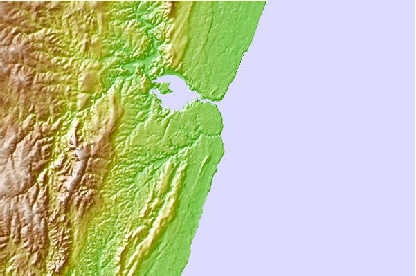
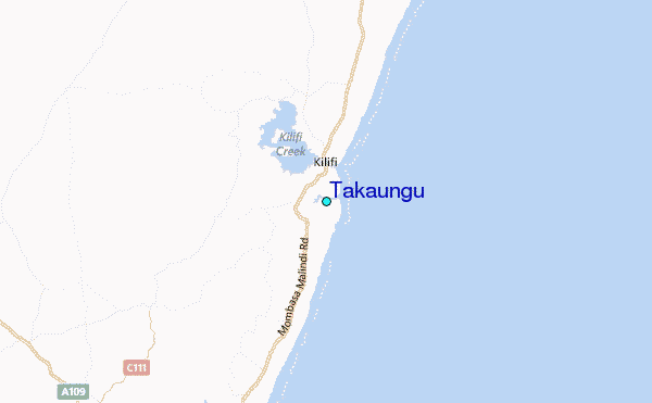
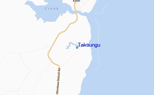
Use this relief map to navigate to tide stations, surf breaks and cities that are in the area of Takaungu.
Other Nearby Locations' tide tables and tide charts to Takaungu:
click location name for more details
 Surf breaks close to Takaungu:
|
||
|---|---|---|
| Closest surf break | Watamu Bay | 26 mi |
| Second closest surf break | Mombasa Channel | 30 mi |
| Third closest surf break | Malindi Bay | 39 mi |
| Fourth closest surf break | Nungwi Reefs | 145 mi |
| Fifth closest surf break | Jam's Right | 213 mi |


 Nearest
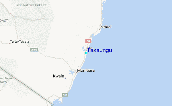