
| Distance / Altitude | Location | Report Date / Time | Live Weather | Wind | Gusts | Temp. | Visibility | Cloud |
|---|---|---|---|---|---|---|---|---|
| 4 km SSW / 1 m | Annette wx (United States) | 2026-06-23 19:05 local (2026/06/24 03:05 GMT) | dry | calm (3 km/h at 293) | 19°C | - | - - 0 | |
| 4 km NW / 7 m | Metlakatla wx (United States) | 2026-06-23 19:05 local (2026/06/24 03:05 GMT) | dry | calm (0 km/h at 204) | 18°C | - | - - 0 | |
| 6 km NW / 7 m | Metlakatla wx (United States) | 2026-06-23 19:09 local (2026/06/24 03:09 GMT) | dry | calm (0 km/h at 0) | 19°C | - | - - 0 | |
| 8 km NW / 216 m | Metlakatla Airport (Alaska) | 2026-06-23 17:56 local (2026/06/24 01:56 GMT) | Clear | light winds from the SSW (6 km/h at 200) | 19°C | 16 | ||
| 8 km NNE / 7 m | Metlakatla wx (United States) | 2026-06-23 18:24 local (2026/06/24 02:24 GMT) | dry | calm (5 km/h at 360) | 18°C | - | - - 0 | |
| 23 km E / 3 m | BUOY-MRYA2 (Marine) | 2026-06-23 19:02 local (2026/06/24 03:02 GMT) | calm (5 km/h at 180) | 16°C | - | |||
| 23 km N / 1 m | Mountain Point wx (United States) | 2026-06-23 18:34 local (2026/06/24 02:34 GMT) | dry | calm (2 km/h at 59) | 18°C | - | - - 0 | |
| 28 km N / 3 m | BUOY-SXXA2 (Marine) | 2026-06-23 19:02 local (2026/06/24 03:02 GMT) | calm (4 km/h at 330) | 19°C | - | |||
| 30 km N / 3 m | BUOY-KECA2 (Marine) | 2026-06-23 18:48 local (2026/06/24 02:48 GMT) | calm (5 km/h at 310) | — | - | |||
| 31 km NW / 3 m | BUOY-SLXA2 (Marine) | 2026-06-23 19:02 local (2026/06/24 03:02 GMT) | light winds from the NW (8 km/h at 310) | 19°C | - |
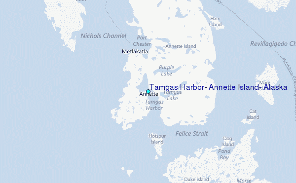
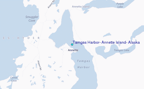
Choose Tamgas Harbor, Annette Island, Alaska Location Map Zoom:
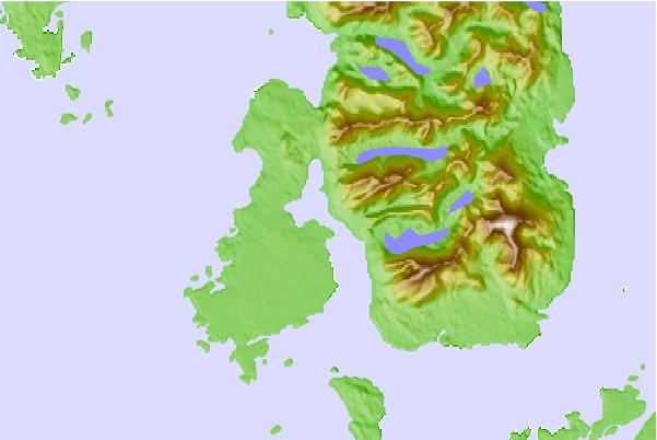
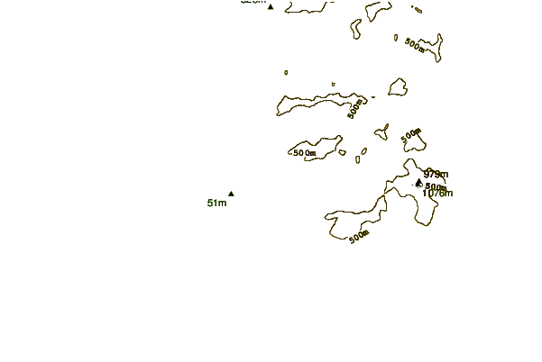
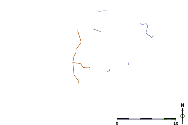
| Contours: | Roads & Rivers: | Select a
tide station / surf break / city |
Use this relief map to navigate to tide stations, surf breaks and cities that are in the area of Tamgas Harbor, Annette Island, Alaska.
Other Nearby Locations' tide tables and tide charts to Tamgas Harbor, Annette Island, Alaska:
click location name for more details
 Surf breaks close to Tamgas Harbor, Annette Island, Alaska:
|
||
|---|---|---|
| Closest surf break | Tow Hill Beach | 69 mi |
| Second closest surf break | Lepus Beach (Haida-Gwaii) | 86 mi |
| Third closest surf break | Nootka Island (Calvin Bay) | 423 mi |
| Fourth closest surf break | Cannon Beach | 434 mi |
| Fifth closest surf break | Graveyards | 437 mi |


 Nearest
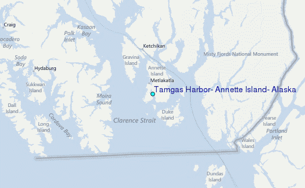