
| Distance / Altitude | Location | Report Date / Time | Live Weather | Wind | Gusts | Temp. | Visibility | Cloud |
|---|---|---|---|---|---|---|---|---|
| 2 km N / 36 m | Tamuning (Guam) | 2026-07-10 05:11 local (2026/07/09 19:11 GMT) | dry | calm (0 km/h at 0) | 27°C | - | - - 0 | |
| 7 km SSE / 3 m | BUOY-PGBP7 (Marine) | 2026-07-10 05:00 local (2026/07/09 19:00 GMT) | calm (5 km/h at 350) | — | - | |||
| 12 km S / 73 m | Windward Hills wx (Guam) | 2026-07-10 05:12 local (2026/07/09 19:12 GMT) | dry | calm (0 km/h at 0) | 25°C | - | - - 0 | |
| 14 km SW / 3 m | BUOY-APRP7 (Marine) | 2026-07-10 05:00 local (2026/07/09 19:00 GMT) | calm (2 km/h at 140) | 26°C | - | |||
| 15 km S / 218 m | Agana- Guam Airport (Guam) | 2026-07-10 03:54 local (2026/07/09 17:54 GMT) | Clear | calm (0 km/h at 0) | 25°C | 16 | ||
| 18 km ENE / 217 m | Mariana/Andersen Airport (Guam) | 2026-07-10 04:25 local (2026/07/09 18:25 GMT) | - | calm (0 km/h at 0) | 26°C | 14 | few few | |
| 21 km SW / 15 m | SHIP6966 (Marine) | 2026-07-10 03:00 local (2026/07/09 17:00 GMT) | - (- km/h at -) | — | - km | |||
| 21 km SW / 15 m | SHIP1850 (Marine) | 2026-07-10 05:00 local (2026/07/09 19:00 GMT) | - (- km/h at -) | — | - km | |||
| 21 km SW / 3 m | SHIP6206 (Marine) | 2026-07-10 03:00 local (2026/07/09 17:00 GMT) | - (- km/h at -) | 28°C | - | |||
| 21 km SW / 15 m | SHIP3206 (Marine) | 2026-07-10 04:00 local (2026/07/09 18:00 GMT) | - (- km/h at -) | — | - km |
| Contours: | Roads & Rivers: | Select a
tide station / surf break / city |
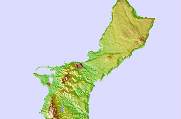
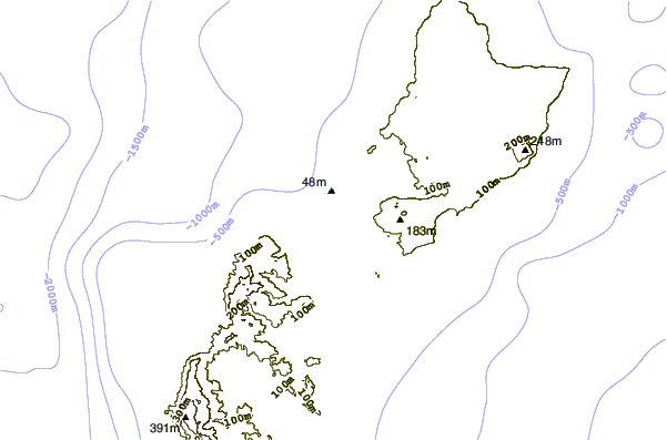
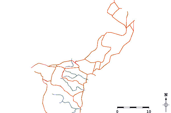
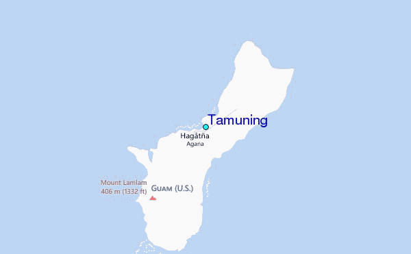
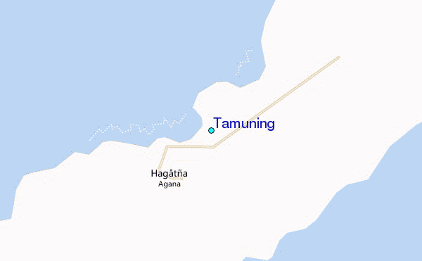
Use this relief map to navigate to tide stations, surf breaks and cities that are in the area of Tamuning.
Other Nearby Locations' tide tables and tide charts to Tamuning:
click location name for more details
 Surf breaks close to Tamuning:
|
||
|---|---|---|
| Closest surf break | Ricks Reef | 1 mi |
| Second closest surf break | Boat Basin Lefts | 2 mi |
| Third closest surf break | Boat Basin Rights | 2 mi |
| Fourth closest surf break | Right and Left Side | 2 mi |
| Fifth closest surf break | Leftovers | 4 mi |


 Nearest
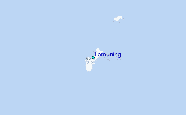