
| Distance / Altitude | Location | Report Date / Time | Live Weather | Wind | Gusts | Temp. | Visibility | Cloud |
|---|---|---|---|---|---|---|---|---|
| 68 km WSW / 36 m | Del Pilar wx (Philippines) | 2026-07-10 03:20 local (2026/07/09 19:20 GMT) | dry | calm (0 km/h at 24) | 24°C | - | - - 0 | |
| 79 km N / 20 m | BRAVO SIARGAO (Philippines) | 2026-07-10 03:00 local (2026/07/09 19:00 GMT) | - | light winds from the WSW (9 km/h at 249) | 28°C | - | - - 0 | |
| 82 km SW / 46 m | Butuan (Philippines) | 2026-07-10 02:00 local (2026/07/09 18:00 GMT) | light to moderate thunderstorm | calm (4 km/h at 180) | 28°C | 8 | - | |
| 111 km WNW / 219 m | Surigao (Philippines) | 2026-07-10 02:00 local (2026/07/09 18:00 GMT) | haze | calm (4 km/h at 270) | 29°C | 25 | - - - | |
| 160 km SSW / 892 m | Malaybalay (Philippines) | 2026-07-10 02:00 local (2026/07/09 18:00 GMT) | distant precipitation but not falling at station | light winds from the SSE (7 km/h at 150) | 25°C | 15 | - | |
| 186 km SW / 10 m | Opol (PI) | 2026-07-10 03:17 local (2026/07/09 19:17 GMT) | dry | calm (0 km/h at 251) | 24°C | - | - - 0 | |
| 190 km WNW / 212 m | Maasin (Philippines) | 2026-07-10 02:00 local (2026/07/09 18:00 GMT) | distant precipitation but not falling at station | - (- km/h at -) | 29°C | 22 | - - - | |
| 222 km NW / 214 m | Guiuan (Samar Island) (Philippines) | 2026-07-10 02:00 local (2026/07/09 18:00 GMT) | distant precipitation but not falling at station | - (- km/h at -) | 28°C | 18 | - - - | |
| 225 km S / 293 m | Davao/Francisco Bangoy International Airport (Philippines) | 2026-07-10 02:00 local (2026/07/09 18:00 GMT) | Shower light rain shower | wind obs. (22 kph from 180 degs) was rejected (- km/h at -) | 27°C | 9.0 | few broken | |
| 225 km S / 293 m | Davao/Francisco Bangoy International Airport (Philippines) | 2026-07-10 02:00 local (2026/07/09 18:00 GMT) | Shower light rain shower | wind obs. (22 kph from 180 degs) was rejected (- km/h at -) | 27°C | 9.0 | few broken |
| Contours: | Roads & Rivers: | Select a
tide station / surf break / city |
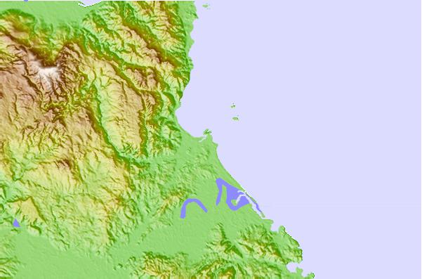
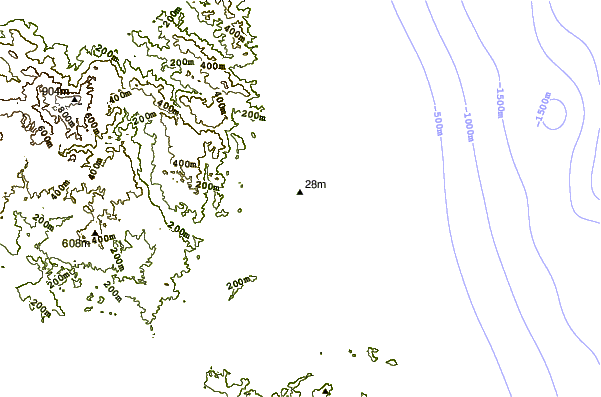
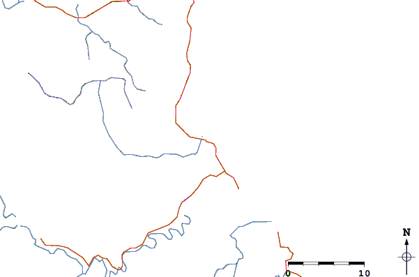
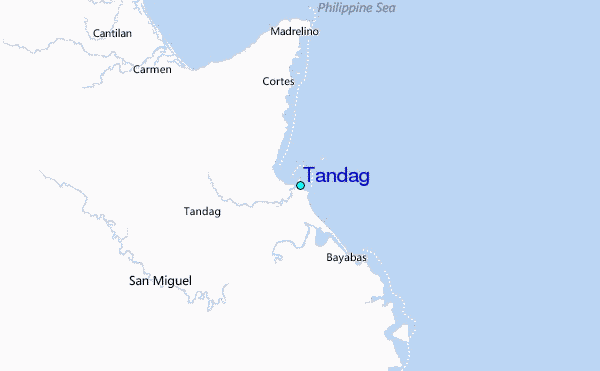
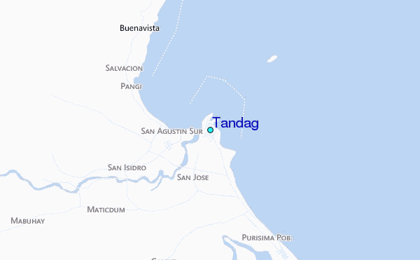
Use this relief map to navigate to tide stations, surf breaks and cities that are in the area of Tandag.
Other Nearby Locations' tide tables and tide charts to Tandag:
click location name for more details
 Surf breaks close to Tandag:
|
||
|---|---|---|
| Closest surf break | Marami Beach | 2 mi |
| Second closest surf break | Tago River | 6 mi |
| Third closest surf break | Big Star | 14 mi |
| Fourth closest surf break | Moshi-Moshi | 14 mi |
| Fifth closest surf break | Glendas | 15 mi |


 Nearest
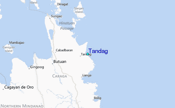