
| Distance / Altitude | Location | Report Date / Time | Live Weather | Wind | Gusts | Temp. | Visibility | Cloud |
|---|---|---|---|---|---|---|---|---|
| 39 km ENE / 77 m | Hambantota (Sri Lanka) | 2026-07-09 23:30 local (2026/07/09 18:00 GMT) | no report | moderate winds from the SW (25 km/h at 220) | 30°C | - | - | |
| 48 km NE / 7 m | Mattala Rajapaksa International Airport (Sri lanka) | 2026-07-09 23:40 local (2026/07/09 18:10 GMT) | - | light winds from the WSW (9 km/h at 240) | — | 0.0 | ||
| 64 km WSW / 13 m | Galle (Sri Lanka) | 2026-07-09 23:30 local (2026/07/09 18:00 GMT) | no report | light winds from the WSW (11 km/h at 250) | 30°C | 20 | - | |
| 72 km SSW / 15 m | SHIP2118 (Marine) | 2026-07-09 23:30 local (2026/07/09 18:00 GMT) | strong winds from the WNW (43.2 km/h at 300) | 28°C | - km | |||
| 85 km NW / 86 m | Ratnapura (Sri Lanka) | 2026-07-09 23:30 local (2026/07/09 18:00 GMT) | no report | wind obs. (7 kph from 30 degs) was rejected (- km/h at -) | 27°C | - | - | |
| 85 km NW / 86 m | Ratnapura (Sri Lanka) | 2026-07-09 23:30 local (2026/07/09 18:00 GMT) | no report | wind obs. (7 kph from 30 degs) was rejected (- km/h at -) | 27°C | - | - | |
| 92 km NNE / 1225 m | Bandarawela (Sri Lanka) | 2026-07-09 23:30 local (2026/07/09 18:00 GMT) | no report | light winds from the W (7 km/h at 270) | 27°C | 20 | - | |
| 95 km SW / 15 m | SHIP1645 (Marine) | 2026-07-09 23:30 local (2026/07/09 18:00 GMT) | - (- km/h at 270) | 29°C | - km | |||
| 95 km SW / 15 m | SHIP2686 (Marine) | 2026-07-09 23:30 local (2026/07/09 18:00 GMT) | - (- km/h at 270) | 29°C | - km | |||
| 95 km SW / 15 m | SHIP6151 (Marine) | 2026-07-09 23:30 local (2026/07/09 18:00 GMT) | - (- km/h at 270) | 29°C | - km |
| Contours: | Roads & Rivers: | Select a
tide station / surf break / city |
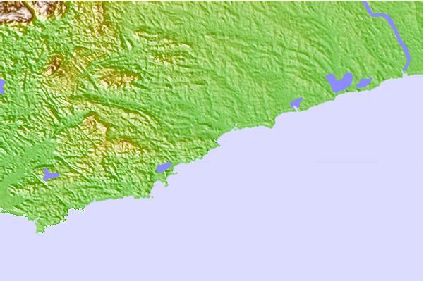
Use this relief map to navigate to tide stations, surf breaks and cities that are in the area of Tangalla.
Other Nearby Locations' tide tables and tide charts to Tangalla:
click location name for more details
 Surf breaks close to Tangalla:
|
||
|---|---|---|
| Closest surf break | Hiriketya Beach | 7 mi |
| Second closest surf break | Hiriketya Left | 7 mi |
| Third closest surf break | Dondra | 15 mi |
| Fourth closest surf break | Matara | 16 mi |
| Fifth closest surf break | Madiha Left | 21 mi |


 Nearest