
| Distance / Altitude | Location | Report Date / Time | Live Weather | Wind | Gusts | Temp. | Visibility | Cloud |
|---|---|---|---|---|---|---|---|---|
| 17 km S / 25 m | Halim Perdanakus Airport (Indonesia) | 2026-07-10 01:00 local (2026/07/09 18:00 GMT) | - | wind obs. (6 kph from 250 degs) was rejected (- km/h at -) | 24°C | 7.0 | few | |
| 24 km WSW / 176 m | Soekarno-Hatta International Airport (Indonesia) | 2026-07-10 01:30 local (2026/07/09 18:30 GMT) | Haze - | light winds from the ESE (9 km/h at 120) | 26°C | 7.0 | few few - | |
| 34 km S / 64 m | Mampang-agung wx (Indonesia) | 2026-07-10 02:41 local (2026/07/09 19:41 GMT) | - | calm (0 km/h at 0) | — | - | - - 0 | |
| 96 km S / 481 m | Genteng wx (Indonesia) | 2026-07-10 02:34 local (2026/07/09 19:34 GMT) | - | calm (0 km/h at 0) | — | - | - - 0 | |
| 114 km SE / 820 m | Kalidam wx (Indonesia) | 2026-07-10 02:10 local (2026/07/09 19:10 GMT) | - | calm (0 km/h at 0) | — | - | - - 0 | |
| 118 km SE / 796 m | Srigunting wx (Indonesia) | 2026-07-10 01:46 local (2026/07/09 18:46 GMT) | - | light winds from the SE (14 km/h at 127) | 25°C | - | - - 0 | |
| 305 km ESE / 101 m | Pamijen Lor wx (Indonesia) | 2026-07-10 02:26 local (2026/07/09 19:26 GMT) | - | - (- km/h at ) | 24°C | - | - - 0 | |
| 357 km ESE / 2039 m | Dieng Kulon wx (Indonesia) | 2026-07-10 02:22 local (2026/07/09 19:22 GMT) | - | wind obs. (32 kph from 92 degs) was rejected (- km/h at -) | — | - | - - 0 | |
| 383 km ESE / 1394 m | Gunungmalang wx (Indonesia) | 2026-07-10 02:07 local (2026/07/09 19:07 GMT) | dry | calm (2 km/h at 17) | 15°C | - | - - 0 | |
| 401 km ESE / 5 m | Ahmad Yani International Airport (Indonesia) | 2026-07-10 01:30 local (2026/07/09 18:30 GMT) | Dry and partly cloudy | light winds from the ESE.(Wind varies from 090 to 150 degs) (7 km/h at 120) | 25°C | 8.0 | no cloud |
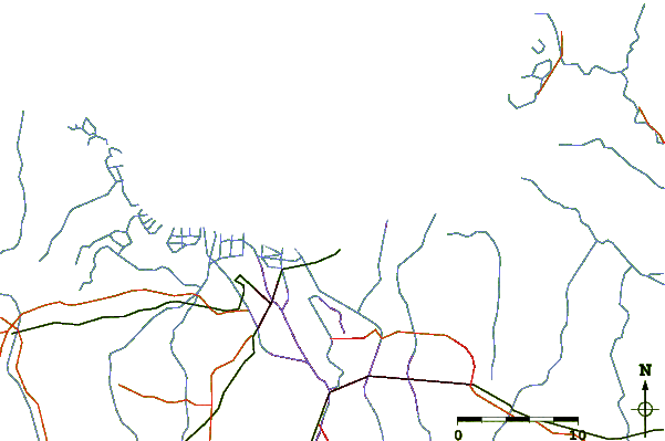
| Contours: | Roads & Rivers: | Select a
tide station / surf break / city |
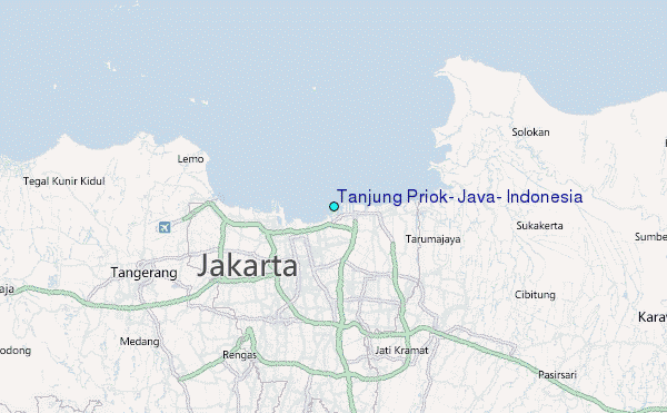
Use this relief map to navigate to tide stations, surf breaks and cities that are in the area of Tanjung Priok, Java, Indonesia.
Other Nearby Locations' tide tables and tide charts to Tanjung Priok, Java, Indonesia:
click location name for more details
 Surf breaks close to Tanjung Priok, Java, Indonesia:
|
||
|---|---|---|
| Closest surf break | Cimaja | 65 mi |
| Second closest surf break | Indicators point | 65 mi |
| Third closest surf break | Samudra | 65 mi |
| Fourth closest surf break | Karang Haji - Ocean Queen Hotel | 66 mi |
| Fifth closest surf break | Loji | 68 mi |


 Nearest
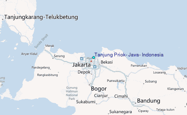