
| Distance / Altitude | Location | Report Date / Time | Live Weather | Wind | Gusts | Temp. | Visibility | Cloud |
|---|---|---|---|---|---|---|---|---|
| 7 km E / 18 m | Raja Haji Fisabilillah International Airport (Indonesia) | 2026-07-10 01:30 local (2026/07/09 18:30 GMT) | Dry and partly cloudy | calm (2 km/h at 1) | 25°C | 10.0 | few broken broken | |
| 43 km W / 38 m | Hang Nadim Airport (Indonesia) | 2026-07-10 01:30 local (2026/07/09 18:30 GMT) | Dry and partly cloudy | calm (4 km/h at 200) | 24°C | 10.0 | few scattered few | |
| 59 km W / 15 m | SHIP1765 (Marine) | 2026-07-10 01:00 local (2026/07/09 18:00 GMT) | - (- km/h at -) | — | - km | |||
| 73 km WNW / 218 m | Singapore-Changi Airport (Singapore) | 2026-07-10 02:00 local (2026/07/09 19:00 GMT) | no report | light winds from the SSE (13 km/h at 160) | 30°C | 10.0 | few broken - | |
| 78 km WNW / 171 m | Paya Lebar Airport (Singapore) | 2026-07-10 01:00 local (2026/07/09 18:00 GMT) | Dry and partly cloudy | light winds from the S (6 km/h at 180) | 27°C | 10.0 | few broken | |
| 59 km W / 15 m | SHIP6302 (Marine) | 2026-07-10 01:00 local (2026/07/09 18:00 GMT) | - (- km/h at -) | — | - km | |||
| 66 km WNW / 15 m | SHIP2277 (Marine) | 2026-07-10 01:00 local (2026/07/09 18:00 GMT) | - (- km/h at -) | — | - km | |||
| 66 km WNW / 15 m | SHIP3517 (Marine) | 2026-07-10 01:00 local (2026/07/09 18:00 GMT) | - (- km/h at -) | — | - km | |||
| 66 km WNW / 3 m | SHIP7817 (Marine) | 2026-07-10 01:00 local (2026/07/09 18:00 GMT) | - (- km/h at -) | 28°C | - | |||
| 66 km WNW / 3 m | SHIP5186 (Marine) | 2026-07-10 01:00 local (2026/07/09 18:00 GMT) | - (- km/h at -) | 28°C | - |
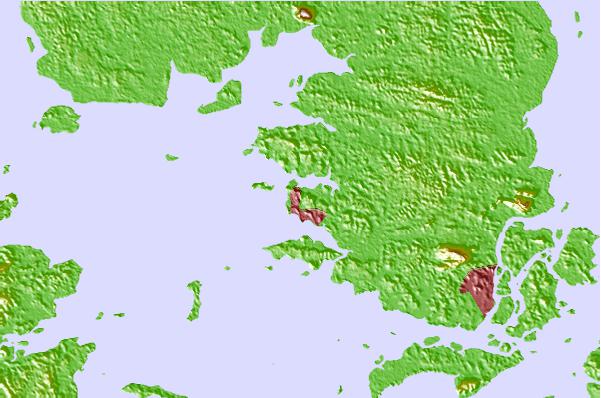
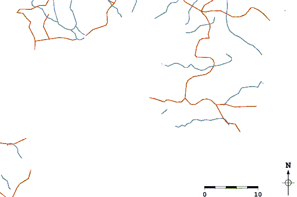
| Contours: | Roads & Rivers: | Select a
tide station / surf break / city |
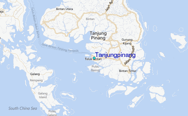
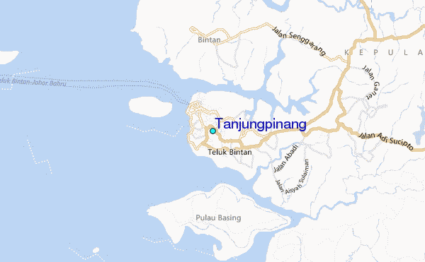
Use this relief map to navigate to tide stations, surf breaks and cities that are in the area of Tanjungpinang.
Other Nearby Locations' tide tables and tide charts to Tanjungpinang:
click location name for more details
 Surf breaks close to Tanjungpinang:
|
||
|---|---|---|
| Closest surf break | Tioman Island | 131 mi |
| Second closest surf break | Cherating | 233 mi |
| Third closest surf break | Kijal | 246 mi |
| Fourth closest surf break | Kelulut (Marang) | 306 mi |
| Fifth closest surf break | Pantai Air Manis | 312 mi |


 Nearest
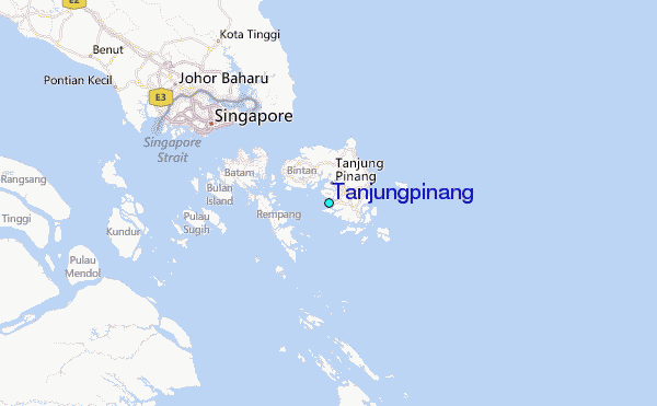