
| Distance / Altitude | Location | Report Date / Time | Live Weather | Wind | Gusts | Temp. | Visibility | Cloud |
|---|---|---|---|---|---|---|---|---|
| 9 km NE / 3 m | BUOY-BZBM3 (Marine) | 2026-06-23 17:00 local (2026/06/23 21:00 GMT) | - (- km/h at -) | 18°C | - | |||
| 14 km ESE / 217 m | Marthas Vineyard Airport (Massachusetts) | 2026-06-23 16:22 local (2026/06/23 20:22 GMT) | Dry and cloudy | light winds from the NNE.(Wind varies from 004 to 009 degs) (17 km/h at 20) | 18°C | 16 | overcast | |
| 21 km WNW / 3 m | BUOY-NBGM3 (Marine) | 2026-06-23 17:00 local (2026/06/23 21:00 GMT) | light winds from the NNE (13 km/h at 30) | 19°C | - | |||
| 23 km ENE / 3 m | BUOY-WAXM3 (Marine) | 2026-06-23 17:00 local (2026/06/23 21:00 GMT) | light winds from the WNW (8 km/h at 300) | 18°C | - | |||
| 24 km SW / 3 m | BUOY-BUZM3 (Marine) | 2026-06-23 17:00 local (2026/06/23 21:00 GMT) | moderate winds from the NE (22 km/h at 40) | — | - | |||
| 24 km SW / 3 m | BUOY-44085 (Marine) | 2026-06-23 17:00 local (2026/06/23 21:00 GMT) | - (- km/h at -) | 17°C | - | |||
| 27 km NE / 219 m | Falmouth/Otis Air Base Airport (Massachusetts) | 2026-06-23 15:56 local (2026/06/23 19:56 GMT) | Light rain | light winds from the SSW (19 km/h at 210) | 17°C | 11 | overcast | |
| 28 km NW / 219 m | New Bedford Airport (Massachusetts) | 2026-06-23 16:34 local (2026/06/23 20:34 GMT) | Dry and cloudy | light winds from the N.(Wind varies from 006 to 011 degs) (7 km/h at 360) | 19°C | 16 | broken overcast | |
| 40 km E / 3 m | Nantucket Sound Buoy (Marine) | 2026-06-23 17:10 local (2026/06/23 21:10 GMT) | fresh winds from the N (29 km/h at 10) | 18°C | - | |||
| 42 km WNW / 3 m | BUOY-FRVM3 (Marine) | 2026-06-23 17:00 local (2026/06/23 21:00 GMT) | - (- km/h at -) | 20°C | - |
| Contours: | Roads & Rivers: | Select a
tide station / surf break / city |
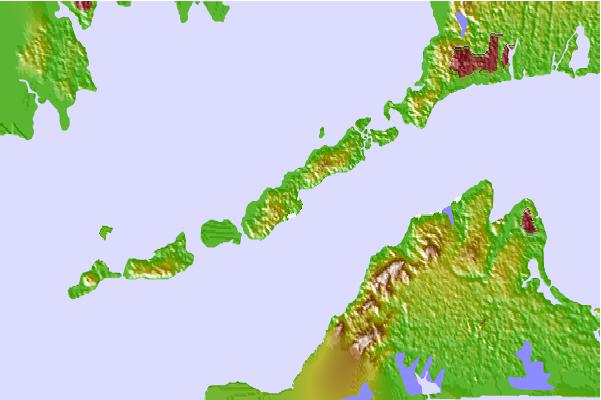
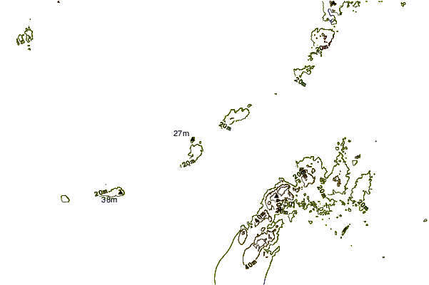
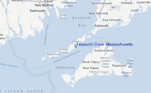
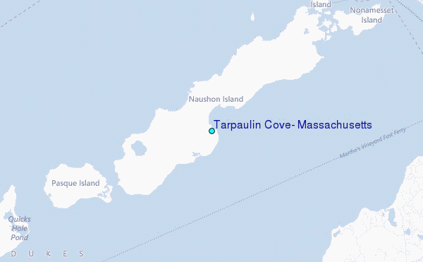
Use this relief map to navigate to tide stations, surf breaks and cities that are in the area of Tarpaulin Cove, Massachusetts.
Other Nearby Locations' tide tables and tide charts to Tarpaulin Cove, Massachusetts:
click location name for more details
 Surf breaks close to Tarpaulin Cove, Massachusetts:
|
||
|---|---|---|
| Closest surf break | Horseneck Beach | 15 mi |
| Second closest surf break | Baker s Beach | 16 mi |
| Third closest surf break | Goosewing Beach | 17 mi |
| Fourth closest surf break | Cutty Wow Reef | 19 mi |
| Fifth closest surf break | Sakonnet River Break | 25 mi |


 Nearest
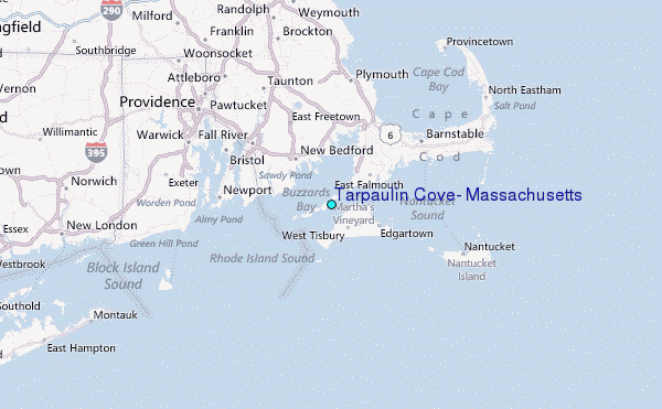