
| Distance / Altitude | Location | Report Date / Time | Live Weather | Wind | Gusts | Temp. | Visibility | Cloud |
|---|---|---|---|---|---|---|---|---|
| 197 km ENE / 4 m | Port Price wx (Australia) | 2026-06-21 06:43 local (2026/06/20 21:13 GMT) | dry | calm (3 km/h at 248) | 8°C | - | - - 0 | |
| 234 km E / 62 m | Halletts Cove wx (Australia) | 2026-06-21 06:02 local (2026/06/20 20:32 GMT) | dry | light winds from the E (8 km/h at 79) | 8°C | - | - - 0 | |
| 235 km E / 218 m | Adelaide International Airport (Australia) | 2026-06-21 06:07 local (2026/06/20 20:37 GMT) | Fog - | calm (0 km/h at 0) | — | 0.0 | ||
| 237 km E / 10 m | Waterloo Corner (Australia) | 2026-06-21 06:47 local (2026/06/20 21:17 GMT) | dry | - (- km/h at ) | — | - | - - 0 | |
| 237 km E / 105 m | Hallett Cove (Australia) | 2026-06-21 06:02 local (2026/06/20 20:32 GMT) | dry | calm (3 km/h at 180) | 8°C | - | - - 0 | |
| 242 km E / 48 m | Westbourne Park (Australia) | 2026-06-21 06:09 local (2026/06/20 20:39 GMT) | dry | calm (0 km/h at 263) | 6°C | - | - - 0 | |
| 245 km E / 80 m | Adelaide (Australia) | 2026-06-21 06:04 local (2026/06/20 20:34 GMT) | dry | calm (3 km/h at 137) | 6°C | - | - - 0 | |
| 246 km E / 74 m | Hillcrest wx (Australia) | 2026-06-21 06:39 local (2026/06/20 21:09 GMT) | dry | calm (0 km/h at 91) | 4°C | - | - - 0 | |
| 247 km E / 22 m | Para Hills West (Australia) | 2026-06-21 06:35 local (2026/06/20 21:05 GMT) | dry | calm (0 km/h at 0) | 3°C | - | - - 0 | |
| 249 km E / 85 m | Salisbury Park wx (Australia) | 2026-06-21 06:47 local (2026/06/20 21:17 GMT) | dry | calm (0 km/h at 67) | 6°C | - | - - 0 |
| Contours: | Roads & Rivers: | Select a
tide station / surf break / city |
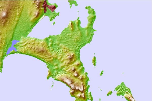
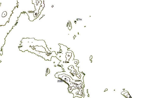
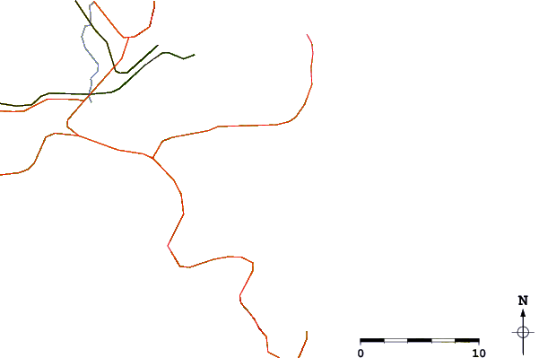
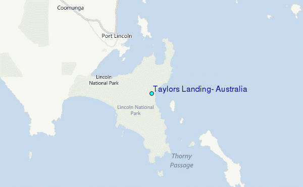
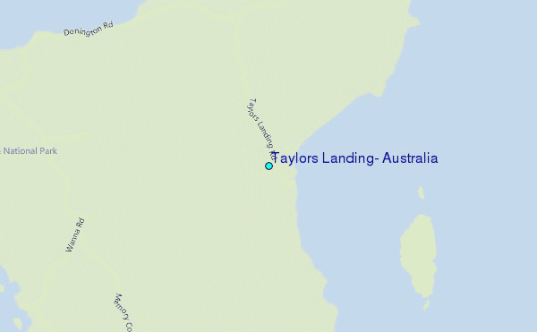
Use this relief map to navigate to tide stations, surf breaks and cities that are in the area of Taylors Landing, Australia.
Other Nearby Locations' tide tables and tide charts to Taylors Landing, Australia:
click location name for more details
 Surf breaks close to Taylors Landing, Australia:
|
||
|---|---|---|
| Closest surf break | Sleaford Bay (Wreck Beach) | 11 mi |
| Second closest surf break | Thistle Island (False Creek) | 12 mi |
| Third closest surf break | Fishery Bay | 16 mi |
| Fourth closest surf break | Flatrock | 37 mi |
| Fifth closest surf break | Greenly Beach (Coles Point) | 48 mi |


 Nearest
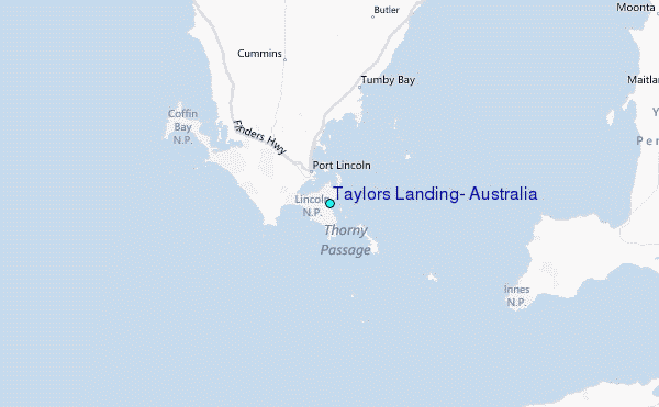