
| Distance / Altitude | Location | Report Date / Time | Live Weather | Wind | Gusts | Temp. | Visibility | Cloud |
|---|---|---|---|---|---|---|---|---|
| 77 km E / 15 m | SHIP1725 (Marine) | 2026-07-10 01:00 local (2026/07/09 18:00 GMT) | light winds from the SE (14.76 km/h at 140) | 30°C | 17.7 km | |||
| 142 km W / 215 m | Medan/Polonia Airport (Indonesia) | 2026-07-10 01:30 local (2026/07/09 18:30 GMT) | Haze - | calm (4 km/h at 200) | 26°C | 1.8 | few | |
| 166 km NE / 129 m | Sitiawan Airport (Malaysia) | 2026-07-10 02:00 local (2026/07/09 19:00 GMT) | distant precipitation but not falling at station | wind obs. (7 kph from 290 degs) was rejected (- km/h at -) | 31°C | 12 | - | |
| 167 km NE / 217 m | Sitiawan (Malaysia) | 2026-07-10 01:00 local (2026/07/09 18:00 GMT) | - | calm (0 km/h at 0) | 27°C | 9.0 | few | |
| 191 km E / 218 m | Kuala Lumpur/sub Airport (Malaysia) | 2026-07-10 01:30 local (2026/07/09 18:30 GMT) | - | light winds from the ESE.(Wind varies from 030 to 190 degs) (6 km/h at 120) | 28°C | 10.0 | few | |
| 100 km N / 15 m | SHIP6351 (Marine) | 2026-07-10 01:00 local (2026/07/09 18:00 GMT) | - (- km/h at -) | — | - km | |||
| 100 km N / 15 m | SHIP2195 (Marine) | 2026-07-10 01:00 local (2026/07/09 18:00 GMT) | - (- km/h at -) | — | - km | |||
| 100 km N / 15 m | SHIP3403 (Marine) | 2026-07-10 01:00 local (2026/07/09 18:00 GMT) | - (- km/h at -) | — | - km | |||
| 120 km NW / 15 m | SHIP2363 (Marine) | 2026-07-10 01:00 local (2026/07/09 18:00 GMT) | light winds from the ENE (14.4 km/h at 70) | — | - km | |||
| 120 km NW / 15 m | SHIP3630 (Marine) | 2026-07-10 01:00 local (2026/07/09 18:00 GMT) | light winds from the ENE (14.4 km/h at 70) | — | - km |
| Contours: | Roads & Rivers: | Select a
tide station / surf break / city |
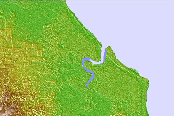

Use this relief map to navigate to tide stations, surf breaks and cities that are in the area of Teluk Nibung.
Other Nearby Locations' tide tables and tide charts to Teluk Nibung:
click location name for more details
 Surf breaks close to Teluk Nibung:
|
||
|---|---|---|
| Closest surf break | Pulau Pinang | 180 mi |
| Second closest surf break | Treasure Island | 180 mi |
| Third closest surf break | Bay of Plenty | 183 mi |
| Fourth closest surf break | Turtle Island | 200 mi |
| Fifth closest surf break | Hilisataro | 212 mi |


 Nearest