
| Distance / Altitude | Location | Report Date / Time | Live Weather | Wind | Gusts | Temp. | Visibility | Cloud |
|---|---|---|---|---|---|---|---|---|
| 148 km SSW / 15 m | SHIP3419 (Marine) | 2026-07-10 03:00 local (2026/07/09 18:00 GMT) | strong winds from the SSE (44.64 km/h at 160) | 26°C | 17.7 km | |||
| 286 km W / 374 m | Menado/Sam Ratulangi International Airport (Indonesia) | 2026-07-10 03:30 local (2026/07/09 18:30 GMT) | - | light winds from the S (11 km/h at 170) | 28°C | 10.0 | few | |
| 506 km S / 12 m | Ambon-Pattimura (Indonesia) | 2026-07-10 03:30 local (2026/07/09 18:30 GMT) | Dry and partly cloudy | calm (4 km/h at 200) | 25°C | 10.0 | scattered | |
| 511 km S / 1 m | Leahari wx (Indonesia) | 2026-07-10 04:17 local (2026/07/09 19:17 GMT) | - | - (- km/h at ) | 27°C | - | - - 0 | |
| 629 km E / 0 m | lightning 144km WNW of Manokwari (Indonesia) | 2026-07-10 04:03 local (2026/07/09 19:03 GMT) | Thunderstorm | (- km/h at -) | — | |||
| 309 km SE / 15 m | SHIP6155 (Marine) | 2026-07-10 03:00 local (2026/07/09 18:00 GMT) | calm (3.6 km/h at 160) | — | - km | |||
| 503 km S / 12 m | Ambon-Pattimura (Indonesia) | 2026-07-10 03:30 local (2026/07/09 18:30 GMT) | Dry and partly cloudy | calm (4 km/h at 200) | 25°C | 10.0 | scattered | |
| 508 km S / 1 m | Leahari wx (Indonesia) | 2026-07-10 04:17 local (2026/07/09 19:17 GMT) | - | - (- km/h at ) | 27°C | - | - - 0 | |
| 515 km N / 15 m | SHIP2108 (Marine) | 2026-07-10 03:00 local (2026/07/09 18:00 GMT) | near gales from the SSW (59.4 km/h at 200) | 30°C | 17.7 km | |||
| 515 km N / 15 m | SHIP5974 (Marine) | 2026-07-10 03:00 local (2026/07/09 18:00 GMT) | near gales from the SSW (59.4 km/h at 200) | 30°C | 17.7 km |
| Contours: | Roads & Rivers: | Select a
tide station / surf break / city |
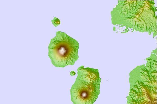
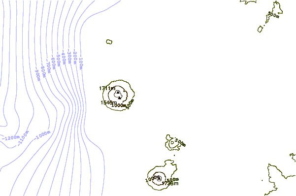
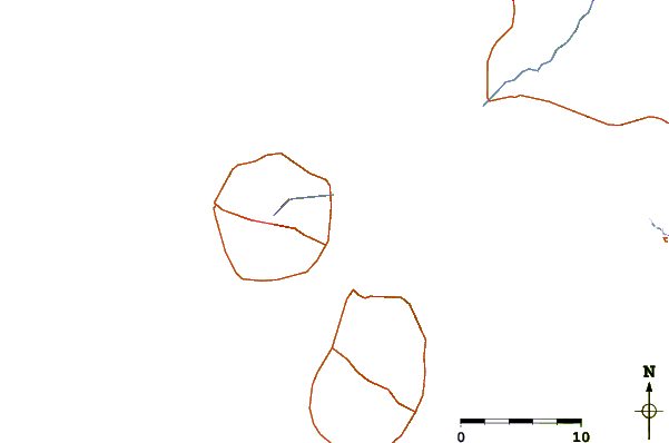
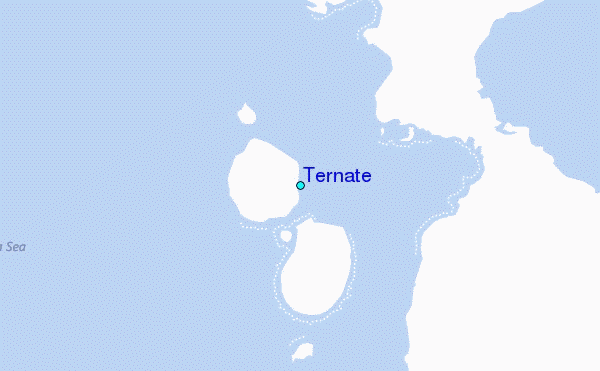
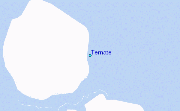
Use this relief map to navigate to tide stations, surf breaks and cities that are in the area of Ternate.
Other Nearby Locations' tide tables and tide charts to Ternate:
click location name for more details
 Surf breaks close to Ternate:
|
||
|---|---|---|
| Closest surf break | Tago River | 572 mi |
| Second closest surf break | Marami Beach | 580 mi |
| Third closest surf break | Lanuza Rivermouth | 590 mi |
| Fourth closest surf break | Big Star | 591 mi |
| Fifth closest surf break | Moshi-Moshi | 592 mi |


 Nearest
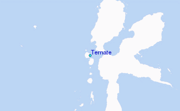