
| Distance / Altitude | Location | Report Date / Time | Live Weather | Wind | Gusts | Temp. | Visibility | Cloud |
|---|---|---|---|---|---|---|---|---|
| 71 km ESE / 2 m | Cap-haitien Airport (Haiti) | 2026-07-09 14:00 local (2026/07/09 18:00 GMT) | Dry and partly cloudy | fresh winds from the NE (31 km/h at 50) | 31°C | 9.0 | few scattered | |
| 136 km SE / 426 m | lightning 4km WNW of Cerca la Source (Haiti) | 2026-07-09 15:03 local (2026/07/09 19:03 GMT) | Thunderstorm | (- km/h at -) | — | |||
| 160 km SW / 15 m | SHIP2629 (Marine) | 2026-07-09 14:00 local (2026/07/09 18:00 GMT) | moderate winds from the ENE (25.92 km/h at 60) | 30°C | 17.7 km | |||
| 178 km SSE / 1225 m | lightning 6km E of Kenscoff (Haiti) | 2026-07-09 14:02 local (2026/07/09 18:02 GMT) | Thunderstorm | (- km/h at -) | — | |||
| 182 km S / 260 m | lightning 12km NNW of Aquin (Haiti) | 2026-07-09 15:47 local (2026/07/09 19:47 GMT) | Thunderstorm | (- km/h at -) | — | |||
| 160 km SW / 3 m | SHIP2969 (Marine) | 2026-07-09 14:00 local (2026/07/09 18:00 GMT) | moderate winds from the ENE (26 km/h at 60) | 34°C | 20.4 | |||
| 160 km SW / 15 m | SHIP6139 (Marine) | 2026-07-09 14:00 local (2026/07/09 18:00 GMT) | moderate winds from the ENE (25.92 km/h at 60) | 30°C | 17.7 km | |||
| 160 km SW / 3 m | SHIP1032 (Marine) | 2026-07-09 14:00 local (2026/07/09 18:00 GMT) | moderate winds from the ENE (26 km/h at 60) | 34°C | 20.4 | |||
| 160 km SW / 3 m | SHIP5593 (Marine) | 2026-07-09 14:00 local (2026/07/09 18:00 GMT) | moderate winds from the ENE (26 km/h at 60) | 34°C | 20.4 | |||
| 177 km SSE / 1225 m | lightning 6km E of Kenscoff (Haiti) | 2026-07-09 14:02 local (2026/07/09 18:02 GMT) | Thunderstorm | (- km/h at -) | — |
| Contours: | Roads & Rivers: | Select a
tide station / surf break / city |
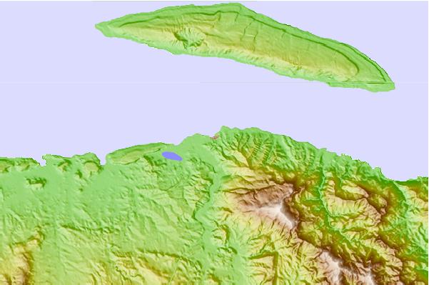
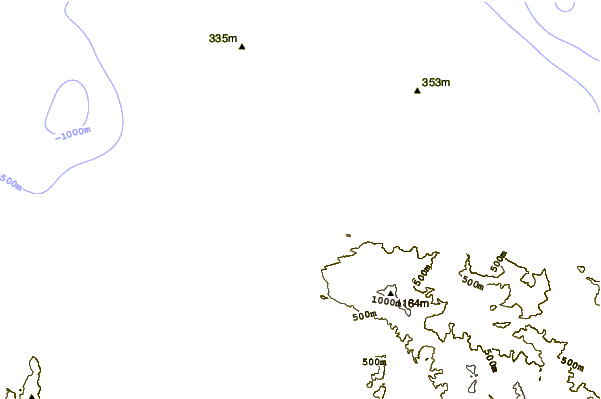
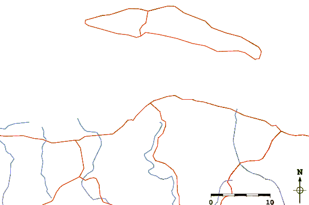
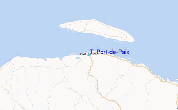
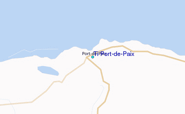
Use this relief map to navigate to tide stations, surf breaks and cities that are in the area of Ti Port-de-Paix.
Other Nearby Locations' tide tables and tide charts to Ti Port-de-Paix:
click location name for more details
 Surf breaks close to Ti Port-de-Paix:
|
||
|---|---|---|
| Closest surf break | Jacmel | 120 mi |
| Second closest surf break | Grace Bay Cut (Providenciales) | 135 mi |
| Third closest surf break | Tea Break | 135 mi |
| Fourth closest surf break | Coffee Break | 139 mi |
| Fifth closest surf break | La Puntilla (Puerto Plata) | 139 mi |


 Nearest
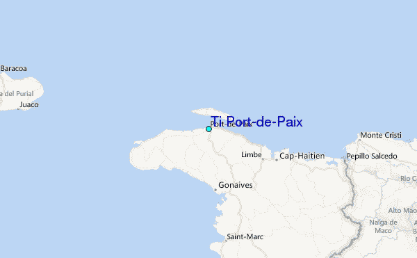