
| Distance / Altitude | Location | Report Date / Time | Live Weather | Wind | Gusts | Temp. | Visibility | Cloud |
|---|---|---|---|---|---|---|---|---|
| 5 km W / 218 m | Nantucket Airport (Massachusetts) | 2026-06-23 21:53 local (2026/06/24 01:53 GMT) | Dry and cloudy | moderate winds from the NNE (20 km/h at 20) | 16°C | 13 | few overcast | |
| 9 km WNW / 3 m | BUOY-NTKM3 (Marine) | 2026-06-23 22:48 local (2026/06/24 02:48 GMT) | calm (5 km/h at 30) | — | - | |||
| 37 km WNW / 3 m | Nantucket Sound Buoy (Marine) | 2026-06-23 22:50 local (2026/06/24 02:50 GMT) | light winds from the N (11 km/h at 360) | 18°C | - | |||
| 42 km E / 15 m | ASCATB290E41N (Marine) | 2026-06-23 20:37 local (2026/06/24 00:37 GMT) | light winds from the NNE (11 km/h at 30) | — | - km | |||
| 50 km N / 218 m | Chatham Airport (Massachusetts) | 2026-06-23 21:52 local (2026/06/24 01:52 GMT) | Moderate rain | light winds from the NNE (7 km/h at 30) | 16°C | 8 | broken broken | |
| 53 km NW / 217 m | Hyannis Airport (Massachusetts) | 2026-06-23 21:56 local (2026/06/24 01:56 GMT) | Moderate rain | light winds from the N (9 km/h at 350) | 16°C | 11 | few broken overcast | |
| 54 km ENE / 15 m | ASCATB291E41N (Marine) | 2026-06-23 20:37 local (2026/06/24 00:37 GMT) | light winds from the NNE (13 km/h at 11) | — | - km | |||
| 54 km W / 217 m | Marthas Vineyard Airport (Massachusetts) | 2026-06-23 21:53 local (2026/06/24 01:53 GMT) | Dry and cloudy | light winds from the NNW (6 km/h at 330) | 17°C | 16 | overcast | |
| 58 km WNW / 3 m | BUOY-WAXM3 (Marine) | 2026-06-23 22:00 local (2026/06/24 02:00 GMT) | calm (2 km/h at 300) | 17°C | - | |||
| 61 km WNW / 219 m | Falmouth/Otis Air Base Airport (Massachusetts) | 2026-06-23 21:56 local (2026/06/24 01:56 GMT) | Light rain | light winds from the N (7 km/h at 350) | 16°C | 16 | overcast |
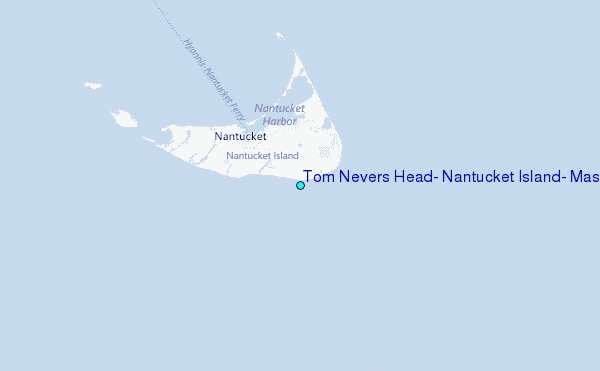
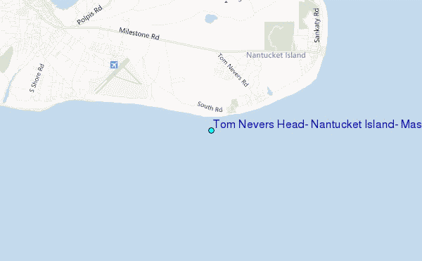
Choose Tom Nevers Head, Nantucket Island, Massachusetts Location Map Zoom:
| Contours: | Roads & Rivers: | Select a
tide station / surf break / city |
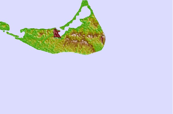
Use this relief map to navigate to tide stations, surf breaks and cities that are in the area of Tom Nevers Head, Nantucket Island, Massachusetts.
Other Nearby Locations' tide tables and tide charts to Tom Nevers Head, Nantucket Island, Massachusetts:
click location name for more details
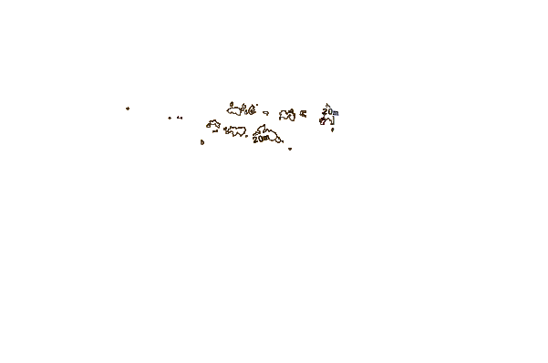
 Surf breaks close to Tom Nevers Head, Nantucket Island, Massachusetts:
|
||
|---|---|---|
| Closest surf break | Madaket | 11 mi |
| Second closest surf break | Nauset Light Beach | 39 mi |
| Third closest surf break | Nauset Beach | 40 mi |
| Fourth closest surf break | Coastguard Beach | 42 mi |
| Fifth closest surf break | Marconis Beach | 47 mi |


 Nearest
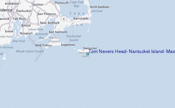