
| Distance / Altitude | Location | Report Date / Time | Live Weather | Wind | Gusts | Temp. | Visibility | Cloud |
|---|---|---|---|---|---|---|---|---|
| 6 km SW / 205 m | Yap Island Airport (Micronesia) | 2026-07-10 03:51 local (2026/07/09 17:51 GMT) | Dry and partly cloudy | light winds from the N (7 km/h at 1) | 27°C | 19 | few scattered broken | |
| 21 km NNE / 3 m | BUOY-52214 (Marine) | 2026-07-10 05:00 local (2026/07/09 19:00 GMT) | - (- km/h at -) | — | - | |||
| 327 km N / 0 m | lightning (Palau) | 2026-07-10 05:49 local (2026/07/09 19:49 GMT) | Thunderstorm | (- km/h at -) | — | |||
| 468 km SW / 212 m | Babelthuap (Palau)/Roman Tmetuchl International Airport (Micronesia) | 2026-07-10 03:50 local (2026/07/09 17:50 GMT) | Dry and partly cloudy | light winds from the S (13 km/h at 180) | 28°C | 21 | scattered broken broken | |
| 730 km ENE / 0 m | lightning 124km SSW of Merizo (Guam) | 2026-07-10 03:04 local (2026/07/09 17:04 GMT) | Thunderstorm | (- km/h at -) | — | |||
| 756 km N / 0 m | lightning (Guam) | 2026-07-10 04:33 local (2026/07/09 18:33 GMT) | Thunderstorm | (- km/h at -) | — | |||
| 827 km ENE / 15 m | SHIP6966 (Marine) | 2026-07-10 03:00 local (2026/07/09 17:00 GMT) | - (- km/h at -) | — | - km | |||
| 827 km ENE / 15 m | SHIP1850 (Marine) | 2026-07-10 05:00 local (2026/07/09 19:00 GMT) | - (- km/h at -) | — | - km | |||
| 827 km ENE / 3 m | SHIP6206 (Marine) | 2026-07-10 03:00 local (2026/07/09 17:00 GMT) | - (- km/h at -) | 28°C | - | |||
| 827 km ENE / 15 m | SHIP3206 (Marine) | 2026-07-10 04:00 local (2026/07/09 18:00 GMT) | - (- km/h at -) | — | - km |
| Contours: | Roads & Rivers: | Select a
tide station / surf break / city |
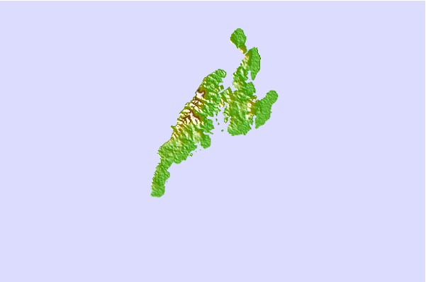
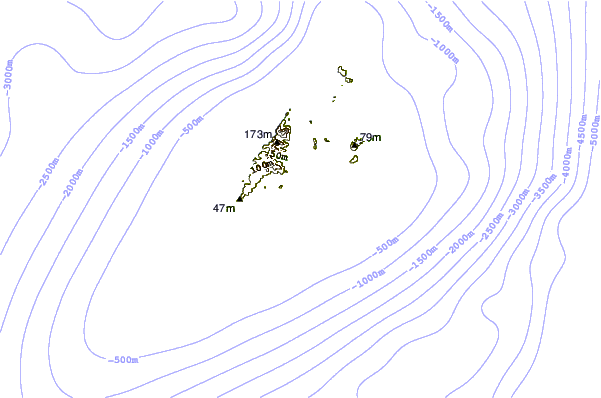
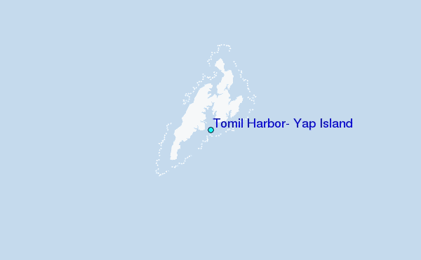
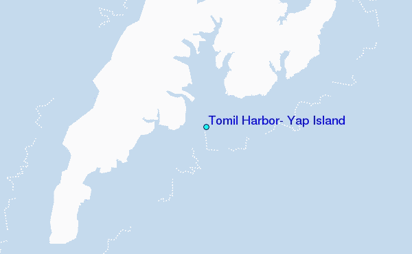
Use this relief map to navigate to tide stations, surf breaks and cities that are in the area of Tomil Harbor, Yap Island.
Other Nearby Locations' tide tables and tide charts to Tomil Harbor, Yap Island:
click location name for more details
 Surf breaks close to Tomil Harbor, Yap Island:
|
||
|---|---|---|
| Closest surf break | Melekeok (Babelthuap) | 276 mi |
| Second closest surf break | West Passage (Babelthuap) | 285 mi |
| Third closest surf break | Santa Maria Anguar | 327 mi |
| Fourth closest surf break | Threes | 513 mi |
| Fifth closest surf break | Tubeys/Point Death | 513 mi |


 Nearest
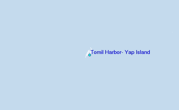