
| Distance / Altitude | Location | Report Date / Time | Live Weather | Wind | Gusts | Temp. | Visibility | Cloud |
|---|---|---|---|---|---|---|---|---|
| 19 km SSW / 3 m | BUOY-ACXS1 (Marine) | 2026-06-23 21:45 local (2026/06/24 01:45 GMT) | - (0 km/h at -) | 29°C | - | |||
| 28 km E / 6 m | Charleston Executive Airport (South Carolina) (South Carolina) | 2026-06-23 22:35 local (2026/06/24 02:35 GMT) | Clear | light winds from the W (6 km/h at 260) | 28°C | 16 | ||
| 35 km NE / 216 m | Charleston Airport (South Carolina) | 2026-06-23 21:56 local (2026/06/24 01:56 GMT) | - | light winds from the WSW (7 km/h at 250) | 28°C | 16 | few | |
| 37 km ENE / 3 m | BUOY-CHTS1 (Marine) | 2026-06-23 22:48 local (2026/06/24 02:48 GMT) | light winds from the W (8 km/h at 270) | — | - | |||
| 42 km WNW / 31 m | Lowcountry Regional Airport - Walterboro (South Carolina) (South Carolina) | 2026-06-23 22:35 local (2026/06/24 02:35 GMT) | Clear | light winds from the NW (7 km/h at 320) | 27°C | 16 | ||
| 44 km S / 3 m | BUOY-41033 (Marine) | 2026-06-23 22:08 local (2026/06/24 02:08 GMT) | light winds from the WNW (11 km/h at 290) | 30°C | - | |||
| 44 km N / 18 m | Summerville Airport (South Carolina) (South Carolina) | 2026-06-23 22:35 local (2026/06/24 02:35 GMT) | Clear | light winds from the NW (7 km/h at 320) | 28°C | 16 | ||
| 44 km S / 3 m | BUOY-41067 (Marine) | 2026-06-23 22:20 local (2026/06/24 02:20 GMT) | - (- km/h at -) | — | - | |||
| 46 km SW / 219 m | Beaufort Marine Corps Air Station Airport (South Carolina) | 2026-06-23 21:56 local (2026/06/24 01:56 GMT) | - | light winds from the WNW (7 km/h at 290) | 28°C | 11 | few | |
| 54 km ENE / 4 m | Mount Pleasant Regional Airport-Faison Field (South Carolina) (South Carolina) | 2026-06-23 22:35 local (2026/06/24 02:35 GMT) | Clear | calm (0 km/h at 0) | 29°C | 16 |
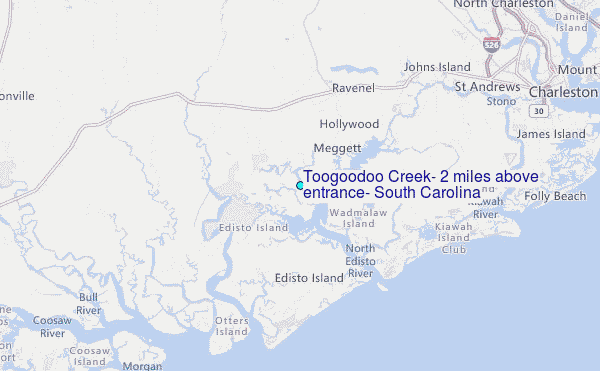
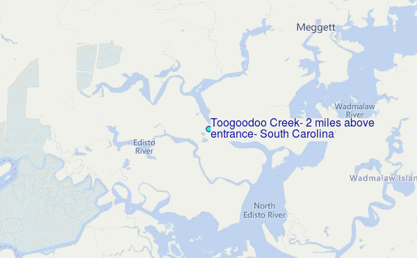
Choose Toogoodoo Creek, 2 miles above entrance, South Carolina Location Map Zoom:
| Contours: | Roads & Rivers: | Select a
tide station / surf break / city |
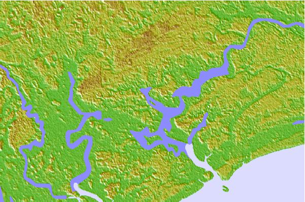

Use this relief map to navigate to tide stations, surf breaks and cities that are in the area of Toogoodoo Creek, 2 miles above entrance, South Carolina.
Other Nearby Locations' tide tables and tide charts to Toogoodoo Creek, 2 miles above entrance, South Carolina:
click location name for more details
 Surf breaks close to Toogoodoo Creek, 2 miles above entrance, South Carolina:
|
||
|---|---|---|
| Closest surf break | Edisto Beach | 11 mi |
| Second closest surf break | Folly Beach Pier | 21 mi |
| Third closest surf break | Folly Beach | 21 mi |
| Fourth closest surf break | The Washout | 23 mi |
| Fifth closest surf break | Hunting Island | 24 mi |


 Nearest
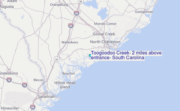