
| Distance / Altitude | Location | Report Date / Time | Live Weather | Wind | Gusts | Temp. | Visibility | Cloud |
|---|---|---|---|---|---|---|---|---|
| 7 km SE / 219 m | Quantico Marine Corps Air Facility Airport (Virginia) | 2026-08-03 04:56 local (2026/08/03 08:56 GMT) | - | light winds from the SSW (9 km/h at 200) | 25°C | 0.0 | ||
| 19 km S / 217 m | Stafford Regional Airport (Virginia) | 2026-08-03 04:35 local (2026/08/03 08:35 GMT) | Dry and cloudy | light winds from the SSW (6 km/h at 200) | 25°C | 11 | overcast | |
| 24 km NE / 218 m | Fort Belvoir/Davison Airport (Virginia) | 2026-08-03 03:55 local (2026/08/03 07:55 GMT) | Dry and cloudy | calm (0 km/h at 0) | 24°C | 16 | overcast | |
| 25 km WNW / 206 m | Manassas Municipal Airport (Virginia) | 2026-08-03 04:44 local (2026/08/03 08:44 GMT) | Dry and partly cloudy | light winds from the S (6 km/h at 190) | 23°C | 16 | few scattered | |
| 31 km W / 108 m | Greenville wx (United States) | 2026-08-03 04:00 local (2026/08/03 08:00 GMT) | dry | calm (3 km/h at 273) | 23°C | - | - - 0 | |
| 33 km S / 219 m | Fredericksburg/Shannon Airport (Virginia) | 2026-08-03 04:35 local (2026/08/03 08:35 GMT) | Dry and partly cloudy | light winds from the SSW (6 km/h at 200) | — | 16 | scattered scattered | |
| 33 km WSW / 103 m | Warrenton Airport (Virginia) | 2026-08-03 04:35 local (2026/08/03 08:35 GMT) | Clear | calm (0 km/h at 0) | 24°C | 16 | ||
| 36 km SE / 3 m | BUOY-NCDV2 (Marine) | 2026-08-03 04:48 local (2026/08/03 08:48 GMT) | light winds from the SW (8 km/h at 220) | 25°C | - | |||
| 40 km WSW / 90 m | Remington (Virginia) | 2026-08-03 04:34 local (2026/08/03 08:34 GMT) | dry | calm (0 km/h at 279) | 24°C | - | - - 0 | |
| 43 km W / 135 m | Opal wx (United States) | 2026-08-03 05:11 local (2026/08/03 09:11 GMT) | dry | calm (0 km/h at 194) | 23°C | - | - - 0 |
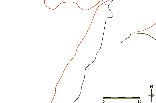
| Contours: | Roads & Rivers: | Select a
tide station / surf break / city |
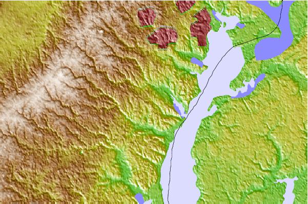
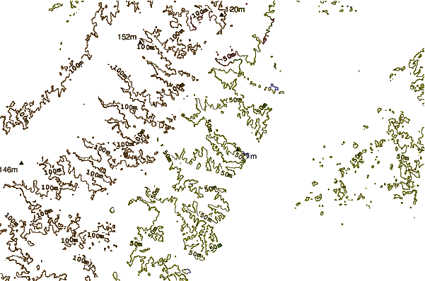
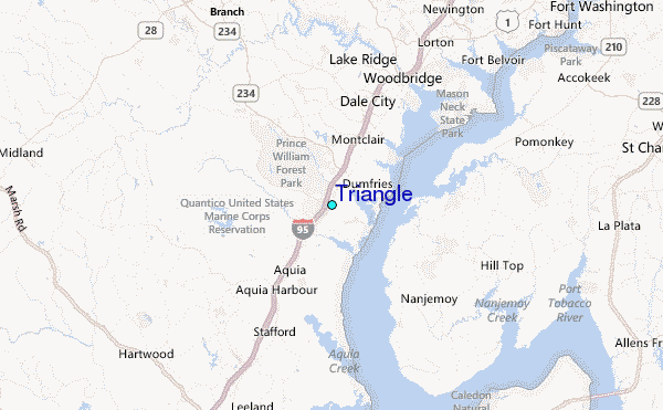
Use this relief map to navigate to tide stations, surf breaks and cities that are in the area of Triangle.
Other Nearby Locations' tide tables and tide charts to Triangle:
click location name for more details
 Surf breaks close to Triangle:
|
||
|---|---|---|
| Closest surf break | Grandview | 116 mi |
| Second closest surf break | Chincoteague | 117 mi |
| Third closest surf break | Out Front | 117 mi |
| Fourth closest surf break | Assateague | 121 mi |
| Fifth closest surf break | Outside Shoals | 122 mi |


 Nearest
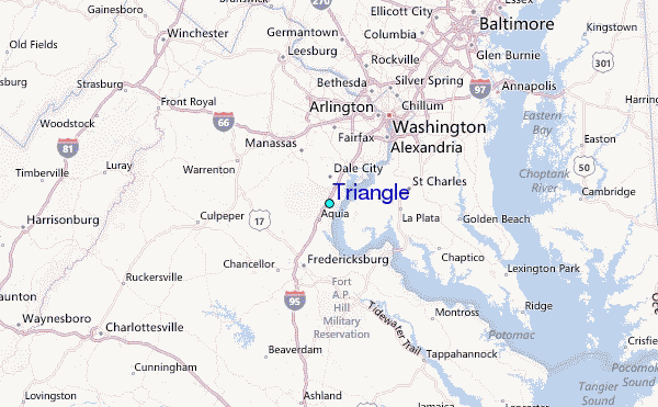