
| Distance / Altitude | Location | Report Date / Time | Live Weather | Wind | Gusts | Temp. | Visibility | Cloud |
|---|---|---|---|---|---|---|---|---|
| 22 km E / 218 m | Fort Myers Airport (Florida) | 2026-07-26 23:53 local (2026/07/27 03:53 GMT) | Clear | calm (0 km/h at 0) | 27°C | 16 | ||
| 24 km ENE / 3 m | BUOY-FMRF1 (Marine) | 2026-07-27 00:48 local (2026/07/27 04:48 GMT) | calm (5 km/h at 230) | 28°C | - | |||
| 32 km E / 218 m | Fort Myers Airport (Florida) | 2026-07-26 23:53 local (2026/07/27 03:53 GMT) | Clear | wind obs. (6 kph from 200 degs) was rejected (- km/h at -) | 27°C | 16 | ||
| 37 km NW / 2 m | Placida Coral Creek Airport (Florida) (Florida) | 2026-07-27 00:35 local (2026/07/27 04:35 GMT) | - | light winds from the W (6 km/h at 280) | 28°C | 16 | few | |
| 41 km NNE / 211 m | Charlotte County/Punta Gorda Airport (Florida) | 2026-07-26 23:53 local (2026/07/27 03:53 GMT) | - | light winds from the S (9 km/h at 190) | 26°C | 16 | few | |
| 50 km WSW / 0 m | lightning 47km WSW of Bokeelia (United States) | 2026-07-26 22:48 local (2026/07/27 02:48 GMT) | Thunderstorm | (- km/h at -) | — | |||
| 56 km SE / 217 m | Naples Municipal Airport (Florida) | 2026-07-26 23:53 local (2026/07/27 03:53 GMT) | - | light winds from the WSW (7 km/h at 240) | 28°C | 16 | few | |
| 57 km ESE / 5 m | Naples (Florida) | 2026-07-27 00:01 local (2026/07/27 04:01 GMT) | dry | calm (0 km/h at 263) | 26°C | - | - - 0 | |
| 57 km SSW / 0 m | lightning 53km SW of Saint James City (United States) | 2026-07-26 23:16 local (2026/07/27 03:16 GMT) | Thunderstorm | (- km/h at -) | — | |||
| 63 km WSW / 0 m | lightning 51km SW of Manasota Key (United States) | 2026-07-26 23:16 local (2026/07/27 03:16 GMT) | Thunderstorm | (- km/h at -) | — |
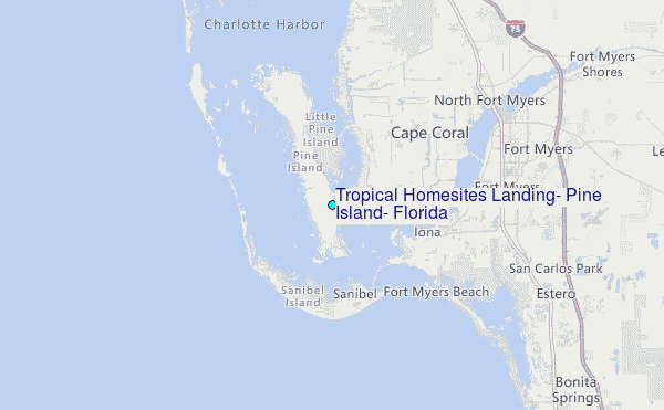
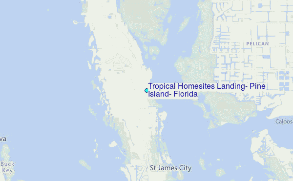
Choose Tropical Homesites Landing, Pine Island, Florida Location Map Zoom:
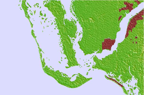
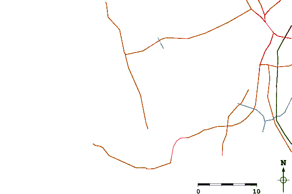
| Contours: | Roads & Rivers: | Select a
tide station / surf break / city |
Use this relief map to navigate to tide stations, surf breaks and cities that are in the area of Tropical Homesites Landing, Pine Island, Florida.
Other Nearby Locations' tide tables and tide charts to Tropical Homesites Landing, Pine Island, Florida:
click location name for more details
 Surf breaks close to Tropical Homesites Landing, Pine Island, Florida:
|
||
|---|---|---|
| Closest surf break | Wiggins Pass | 24 mi |
| Second closest surf break | Naples Pier | 37 mi |
| Third closest surf break | Venice North and South Jetty | 42 mi |
| Fourth closest surf break | Point o Rocks | 55 mi |
| Fifth closest surf break | Turtle Beach | 65 mi |


 Nearest
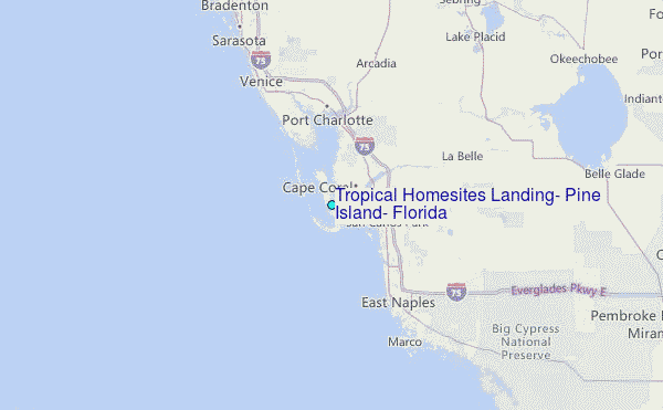