
| Distance / Altitude | Location | Report Date / Time | Live Weather | Wind | Gusts | Temp. | Visibility | Cloud |
|---|---|---|---|---|---|---|---|---|
| 5 km S / 3 m | Sunset Beach Nearshore Buoy (Marine) | 2026-06-13 08:30 local (2026/06/13 12:30 GMT) | - (- km/h at -) | — | - | |||
| 5 km S / 3 m | BUOY-41024 (Marine) | 2026-06-13 08:08 local (2026/06/13 12:08 GMT) | light winds from the WSW (7 km/h at 250) | 26°C | - | |||
| 23 km SW / 219 m | North Myrtle Bea Airport (South Carolina) | 2026-06-13 08:53 local (2026/06/13 12:53 GMT) | Clear | light winds from the WNW (9 km/h at 300) | 28°C | 16 | ||
| 37 km E / 217 m | Southport Airport (North Carolina) | 2026-06-13 09:35 local (2026/06/13 13:35 GMT) | Clear | light winds from the SW (11 km/h at 220) | 31°C | 16 | ||
| 47 km ESE / 3 m | Wilmington Harbor- NC (Marine) | 2026-06-13 09:56 local (2026/06/13 13:56 GMT) | - (- km/h at -) | — | - | |||
| 47 km SW / 3 m | BUOY-MROS1 (Marine) | 2026-06-13 09:30 local (2026/06/13 13:30 GMT) | calm (5 km/h at 330) | 29°C | - | |||
| 47 km SW / 205 m | Myrtle Beach Airport (South Carolina) | 2026-06-13 08:53 local (2026/06/13 12:53 GMT) | Clear | light winds from the NW (7 km/h at 310) | 28°C | 16 | ||
| 48 km NW / 217 m | Whiteville Airport (North Carolina) | 2026-06-13 09:35 local (2026/06/13 13:35 GMT) | Clear | calm (0 km/h at 0) | 30°C | 11 | ||
| 59 km WSW / 11 m | Conway - Horry County Airport (South Carolina) (South Carolina) | 2026-06-13 09:35 local (2026/06/13 13:35 GMT) | Clear | calm (0 km/h at 0) | 29°C | 16 | ||
| 61 km ENE / 3 m | BUOY-MBIN7 (Marine) | 2026-06-13 08:30 local (2026/06/13 12:30 GMT) | light winds from the NW (11 km/h at 310) | 28°C | - |
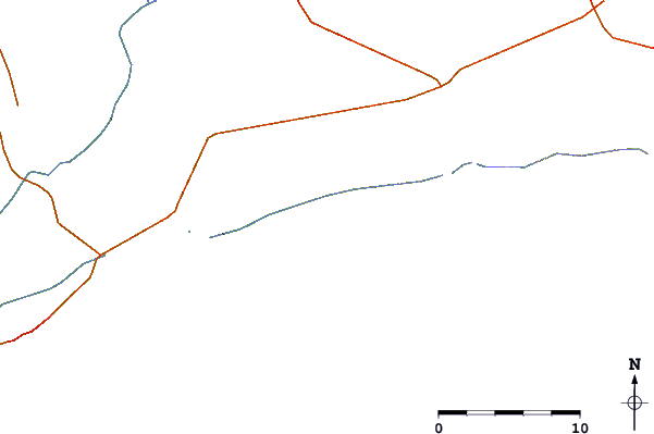
| Contours: | Roads & Rivers: | Select a
tide station / surf break / city |
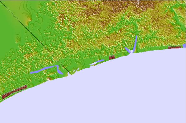

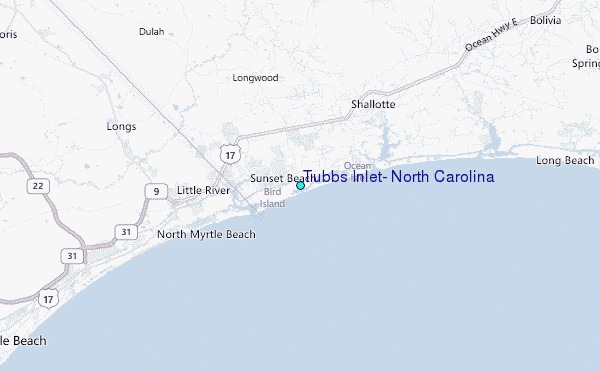
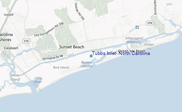
Use this relief map to navigate to tide stations, surf breaks and cities that are in the area of Tubbs Inlet, North Carolina.
Other Nearby Locations' tide tables and tide charts to Tubbs Inlet, North Carolina:
click location name for more details
 Surf breaks close to Tubbs Inlet, North Carolina:
|
||
|---|---|---|
| Closest surf break | Cherry Grove Pier | 9 mi |
| Second closest surf break | North Myrtle/27th Avenue South | 10 mi |
| Third closest surf break | Ocean Isle Beach/pier | 10 mi |
| Fourth closest surf break | Apache Pier | 16 mi |
| Fifth closest surf break | Holden Beach | 17 mi |


 Nearest
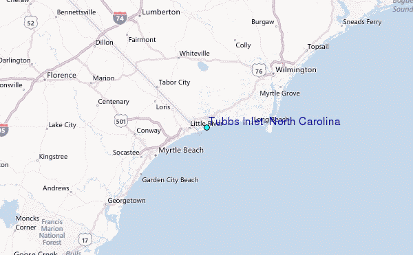