
| Distance / Altitude | Location | Report Date / Time | Live Weather | Wind | Gusts | Temp. | Visibility | Cloud |
|---|---|---|---|---|---|---|---|---|
| 83 km SSE / 512 m | Zim Valencia International Airport (Venezuela) | 2026-07-09 14:00 local (2026/07/09 18:00 GMT) | Dry and partly cloudy | calm (0 km/h at 0) | 31°C | 10.0 | broken | |
| 136 km SSW / 547 m | Barquisimeto Airport (Venezuela) | 2026-07-09 14:00 local (2026/07/09 18:00 GMT) | Dry and partly cloudy | calm (0 km/h at 110) | 28°C | 10.0 | scattered broken - | |
| 148 km NW / 15 m | SHIP1747 (Marine) | 2026-07-09 14:00 local (2026/07/09 18:00 GMT) | - (- km/h at -) | — | - km | |||
| 148 km N / 3 m | Flamingo Airport- Bonaire (Netherlands) | 2026-07-09 15:00 local (2026/07/09 19:00 GMT) | no report | fresh winds from the E (29 km/h at 100) | 28°C | 23 | - | |
| 150 km N / 175 m | Bonaire/Flamingo Airport (Lesser Antilles) | 2026-07-09 13:55 local (2026/07/09 17:55 GMT) | - | fresh winds from the ESE.(Wind varies from 060 to 160 degs) (33 km/h at 110) | 31°C | 10.0 | few | |
| 147 km NW / 3 m | SHIP2933 (Marine) | 2026-07-09 14:00 local (2026/07/09 18:00 GMT) | - (- km/h at -) | — | - | |||
| 147 km NW / 3 m | SHIP5513 (Marine) | 2026-07-09 14:00 local (2026/07/09 18:00 GMT) | - (- km/h at -) | — | - | |||
| 147 km NW / 3 m | SHIP5066 (Marine) | 2026-07-09 14:00 local (2026/07/09 18:00 GMT) | - (- km/h at -) | — | - | |||
| 147 km NW / 15 m | SHIP3881 (Marine) | 2026-07-09 14:00 local (2026/07/09 18:00 GMT) | - (- km/h at -) | — | - km | |||
| 147 km N / 3 m | Flamingo Airport- Bonaire (Netherlands) | 2026-07-09 15:00 local (2026/07/09 19:00 GMT) | no report | fresh winds from the E (29 km/h at 100) | 28°C | 23 | - |
| Contours: | Roads & Rivers: | Select a
tide station / surf break / city |
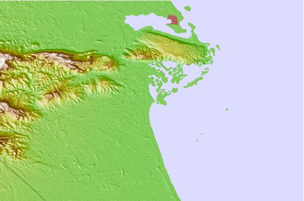
Use this relief map to navigate to tide stations, surf breaks and cities that are in the area of Tucacas.
Other Nearby Locations' tide tables and tide charts to Tucacas:
click location name for more details
 Surf breaks close to Tucacas:
|
||
|---|---|---|
| Closest surf break | El Peaje | 14 mi |
| Second closest surf break | Palma Sola | 22 mi |
| Third closest surf break | Playa Los Cuatro | 24 mi |
| Fourth closest surf break | El Palito | 26 mi |
| Fifth closest surf break | La Playita | 26 mi |


 Nearest