
| Distance / Altitude | Location | Report Date / Time | Live Weather | Wind | Gusts | Temp. | Visibility | Cloud |
|---|---|---|---|---|---|---|---|---|
| 177 km SE / 23 m | Gurney (Papua New Guinea) | 2026-07-10 07:00 local (2026/07/09 21:00 GMT) | distant precipitation but not falling at station | - (- km/h at -) | 26°C | 30 | - - - | |
| 233 km WSW / 48 m | Port Moresby (Papua New Guinea) | 2026-07-10 07:00 local (2026/07/09 21:00 GMT) | haze | fresh winds from the SSE (30 km/h at 160) | 26°C | 20 | - - - | |
| 376 km WNW / 3 m | SHIP2529 (Marine) | 2026-07-10 07:00 local (2026/07/09 21:00 GMT) | - (- km/h at -) | 24°C | - | |||
| 400 km WNW / 70 m | Nadzab (Papua New Guinea) | 2026-07-10 07:00 local (2026/07/09 21:00 GMT) | rain | - (- km/h at -) | 25°C | 30 | - - - | |
| 549 km WNW / 1587 m | Goroka Highlands Airport (Papua-New Guinea) | 2026-07-10 07:00 local (2026/07/09 21:00 GMT) | - | - (- km/h at -) | — | 30 | - - - | |
| 375 km WNW / 15 m | SHIP5613 (Marine) | 2026-07-10 08:00 local (2026/07/09 22:00 GMT) | - (- km/h at -) | — | - km | |||
| 375 km WNW / 15 m | SHIP1516 (Marine) | 2026-07-10 07:00 local (2026/07/09 21:00 GMT) | - (- km/h at -) | — | - km | |||
| 375 km WNW / 15 m | SHIP4037 (Marine) | 2026-07-10 07:00 local (2026/07/09 21:00 GMT) | - (- km/h at -) | — | - km | |||
| 375 km WNW / 15 m | SHIP1430 (Marine) | 2026-07-10 08:00 local (2026/07/09 22:00 GMT) | - (- km/h at -) | — | - km | |||
| 400 km WNW / 70 m | Nadzab (Papua New Guinea) | 2026-07-10 07:00 local (2026/07/09 21:00 GMT) | rain | - (- km/h at -) | 25°C | 30 | - - - |
| Contours: | Roads & Rivers: | Select a
tide station / surf break / city |
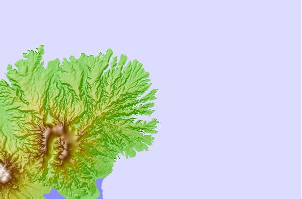
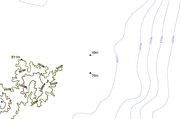
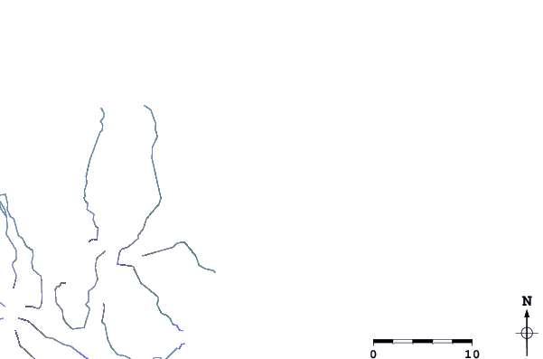
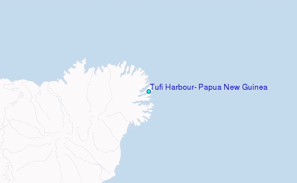
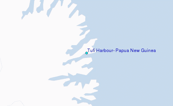
Use this relief map to navigate to tide stations, surf breaks and cities that are in the area of Tufi Harbour, Papua New Guinea.
Other Nearby Locations' tide tables and tide charts to Tufi Harbour, Papua New Guinea:
click location name for more details
 Surf breaks close to Tufi Harbour, Papua New Guinea:
|
||
|---|---|---|
| Closest surf break | Raiven | 385 mi |
| Second closest surf break | Duke of York | 398 mi |
| Third closest surf break | Tupira Right | 417 mi |
| Fourth closest surf break | Rubio | 437 mi |
| Fifth closest surf break | Edmago | 456 mi |


 Nearest
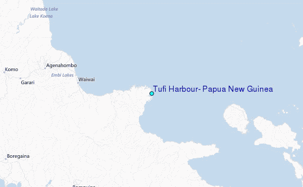