
| Distance / Altitude | Location | Report Date / Time | Live Weather | Wind | Gusts | Temp. | Visibility | Cloud |
|---|---|---|---|---|---|---|---|---|
| 23 km SE / 219 m | Beaufort Marine Corps Air Station Airport (South Carolina) | 2026-06-14 20:31 local (2026/06/15 00:31 GMT) | Light rain | light winds from the SSW (13 km/h at 210) | 26°C | 16 | few | |
| 27 km S / 4 m | lightning 12km S of Ridgeland (United States) | 2026-06-14 19:19 local (2026/06/14 23:19 GMT) | Thunderstorm | (- km/h at -) | — | |||
| 32 km S / 2 m | lightning 10km NE of Hardeeville (United States) | 2026-06-14 19:19 local (2026/06/14 23:19 GMT) | Thunderstorm | (- km/h at -) | — | |||
| 34 km SW / 25 m | lightning 14km N of Springfield (United States) | 2026-06-14 19:00 local (2026/06/14 23:00 GMT) | Thunderstorm | (- km/h at -) | — | |||
| 37 km E / 2 m | lightning 20km NNE of Beaufort (United States) | 2026-06-14 20:05 local (2026/06/15 00:05 GMT) | Thunderstorm | (- km/h at -) | — | |||
| 38 km WSW / 11 m | lightning 20km SSW of Estill (United States) | 2026-06-14 18:47 local (2026/06/14 22:47 GMT) | Thunderstorm | (- km/h at -) | — | |||
| 43 km E / 3 m | BUOY-ACXS1 (Marine) | 2026-06-14 19:45 local (2026/06/14 23:45 GMT) | - (0 km/h at -) | 25°C | - | |||
| 43 km NE / 31 m | Lowcountry Regional Airport - Walterboro (South Carolina) (South Carolina) | 2026-06-14 20:35 local (2026/06/15 00:35 GMT) | Clear | light winds from the SW (6 km/h at 220) | 23°C | 16 | ||
| 46 km SSW / 20 m | thunderstorm affecting Rincon (United States) | 2026-06-14 18:30 local (2026/06/14 22:30 GMT) | Thunderstorm | (- km/h at -) | — | |||
| 47 km SSE / 210 m | Hilton Head Airport (North Carolina) | 2026-06-14 19:51 local (2026/06/14 23:51 GMT) | Thunderstorm - | moderate winds from the WSW (22 km/h at 240) | 24°C | 16 | scattered broken broken |
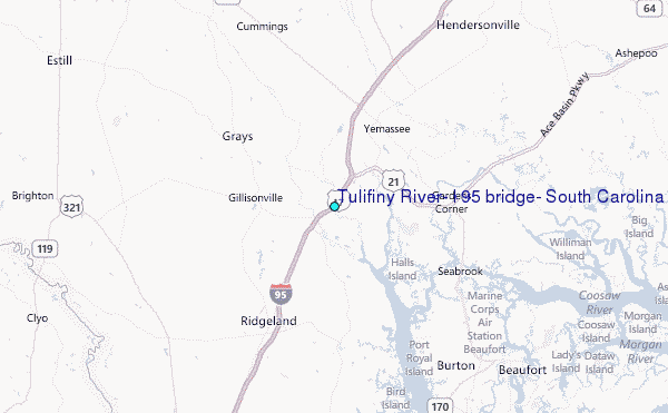
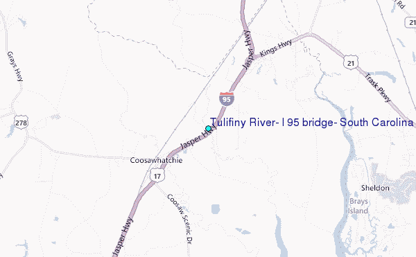
Choose Tulifiny River, I 95 bridge, South Carolina Location Map Zoom:
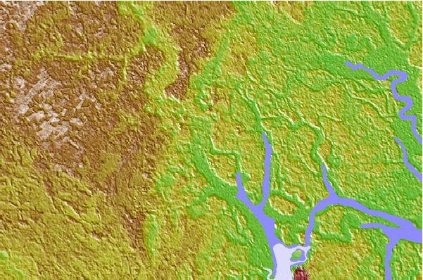
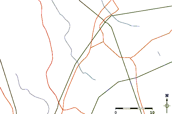
| Contours: | Roads & Rivers: | Select a
tide station / surf break / city |

Use this relief map to navigate to tide stations, surf breaks and cities that are in the area of Tulifiny River, I 95 bridge, South Carolina.
Other Nearby Locations' tide tables and tide charts to Tulifiny River, I 95 bridge, South Carolina:
click location name for more details
 Surf breaks close to Tulifiny River, I 95 bridge, South Carolina:
|
||
|---|---|---|
| Closest surf break | Hunting Island | 32 mi |
| Second closest surf break | Edisto Beach | 36 mi |
| Third closest surf break | North Jetty | 40 mi |
| Fourth closest surf break | Sugar Shack | 41 mi |
| Fifth closest surf break | 2nd Street | 42 mi |


 Nearest
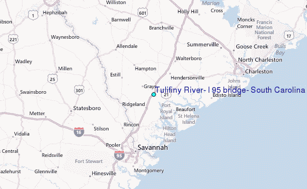