
| Distance / Altitude | Location | Report Date / Time | Live Weather | Wind | Gusts | Temp. | Visibility | Cloud |
|---|---|---|---|---|---|---|---|---|
| 121 km S / 12 m | Cam Ranh Bay Airport (Viet nam) | 2026-07-10 01:30 local (2026/07/09 18:30 GMT) | - | calm (4 km/h at 190) | — | 0.0 | ||
| 201 km SE / 15 m | SHIP1514 (Marine) | 2026-07-10 01:00 local (2026/07/09 18:00 GMT) | - (- km/h at -) | — | - km | |||
| 245 km S / 0 m | lightning 74km S of Phan Rang-Thap Cham (Vietnam) | 2026-07-10 00:33 local (2026/07/09 17:33 GMT) | Thunderstorm | (- km/h at -) | — | |||
| 284 km S / 0 m | lightning 99km E of Phan Thiet (Vietnam) | 2026-07-10 03:02 local (2026/07/09 20:02 GMT) | Thunderstorm | (- km/h at -) | — | |||
| 289 km SW / 205 m | Ấp Phước Quả B wx (Vietnam) | 2026-07-10 02:24 local (2026/07/09 19:24 GMT) | dry | calm (2 km/h at 154) | 25°C | - | - - 0 | |
| 244 km S / 0 m | lightning 74km S of Phan Rang-Thap Cham (Vietnam) | 2026-07-10 00:33 local (2026/07/09 17:33 GMT) | Thunderstorm | (- km/h at -) | — | |||
| 283 km S / 0 m | lightning 99km E of Phan Thiet (Vietnam) | 2026-07-10 03:02 local (2026/07/09 20:02 GMT) | Thunderstorm | (- km/h at -) | — | |||
| 289 km SW / 205 m | Ấp Phước Quả B wx (Vietnam) | 2026-07-10 02:24 local (2026/07/09 19:24 GMT) | dry | calm (2 km/h at 154) | 25°C | - | - - 0 | |
| 347 km NW / 676 m | Da Nang International Airport (Viet Nam) | 2026-07-10 01:30 local (2026/07/09 18:30 GMT) | Dry and partly cloudy | calm (0 km/h at 0) | 28°C | 10.0 | few broken | |
| 380 km SSW / 15 m | SHIP6916 (Marine) | 2026-07-10 00:00 local (2026/07/09 17:00 GMT) | - (- km/h at -) | — | - km |
| Contours: | Roads & Rivers: | Select a
tide station / surf break / city |
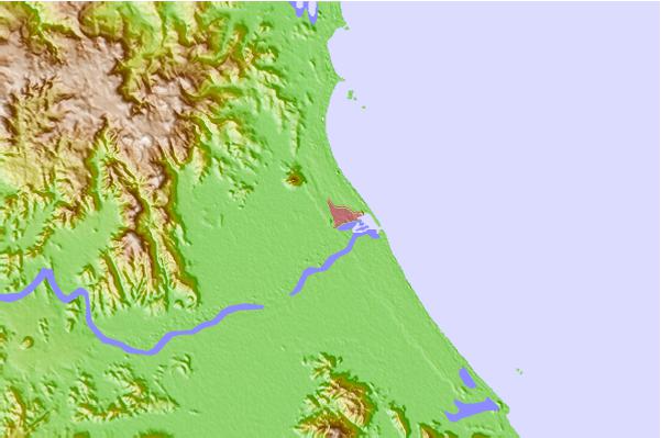
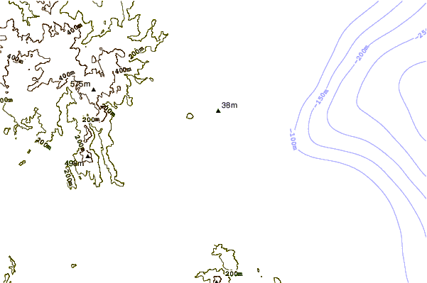
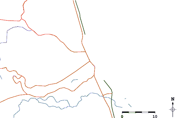
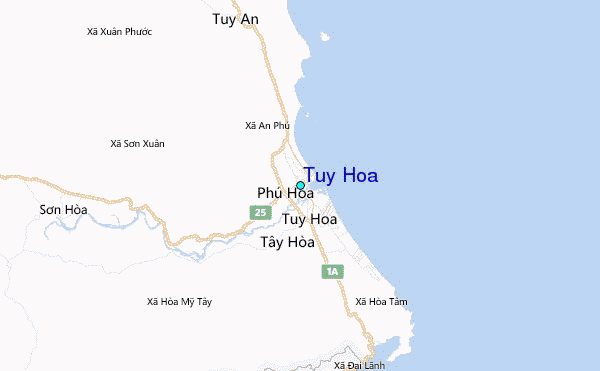
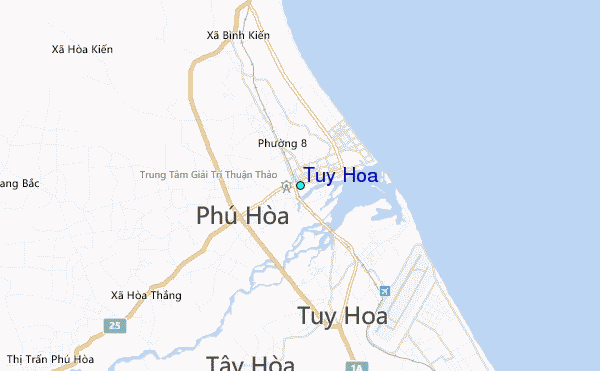
Use this relief map to navigate to tide stations, surf breaks and cities that are in the area of Tuy Hoa.
Other Nearby Locations' tide tables and tide charts to Tuy Hoa:
click location name for more details
 Surf breaks close to Tuy Hoa:
|
||
|---|---|---|
| Closest surf break | Hon Chong Beach Break | 57 mi |
| Second closest surf break | Dark Reef | 64 mi |
| Third closest surf break | Bai Dai Nha Trang | 67 mi |
| Fourth closest surf break | Mui Ne | 163 mi |
| Fifth closest surf break | Cue Dai Beach | 204 mi |


 Nearest
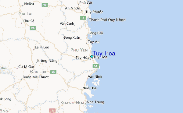