
| Distance / Altitude | Location | Report Date / Time | Live Weather | Wind | Gusts | Temp. | Visibility | Cloud |
|---|---|---|---|---|---|---|---|---|
| 5 km WNW / 15 m | SHIP3647 (Marine) | 2026-05-29 10:00 local (2026/05/29 17:00 GMT) | - (- km/h at -) | — | - km | |||
| 23 km N / 22 m | Sheringham Point- BC (Canada) | 2026-05-29 11:00 local (2026/05/29 18:00 GMT) | no report | calm (4 km/h at 100) | 11°C | - | - - - | |
| 26 km E / 3 m | BUOY-46267 (Marine) | 2026-05-29 11:30 local (2026/05/29 18:30 GMT) | - (- km/h at -) | 11°C | - | |||
| 5 km WNW / 15 m | SHIP2858 (Marine) | 2026-05-29 09:00 local (2026/05/29 16:00 GMT) | - (- km/h at -) | — | - km | |||
| 5 km WNW / 15 m | SHIP3475 (Marine) | 2026-05-29 10:00 local (2026/05/29 17:00 GMT) | - (- km/h at -) | — | - km | |||
| 5 km WNW / 3 m | SHIP5502 (Marine) | 2026-05-29 09:00 local (2026/05/29 16:00 GMT) | - (- km/h at -) | 12°C | - | |||
| 5 km WNW / 15 m | SHIP5317 (Marine) | 2026-05-29 09:00 local (2026/05/29 16:00 GMT) | - (- km/h at -) | — | - km | |||
| 5 km WNW / 3 m | SHIP8129 (Marine) | 2026-05-29 09:00 local (2026/05/29 16:00 GMT) | - (- km/h at -) | 12°C | - | |||
| 5 km WNW / 15 m | SHIP4037 (Marine) | 2026-05-29 09:00 local (2026/05/29 16:00 GMT) | - (- km/h at -) | — | - km | |||
| 23 km N / 22 m | Sheringham Point- BC (Canada) | 2026-05-29 11:00 local (2026/05/29 18:00 GMT) | no report | calm (4 km/h at 100) | 11°C | - | - - - |
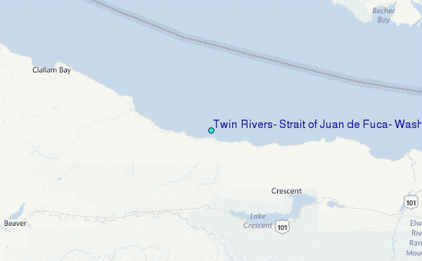
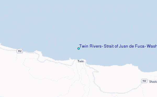
Choose Twin Rivers, Strait of Juan de Fuca, Washington Location Map Zoom:
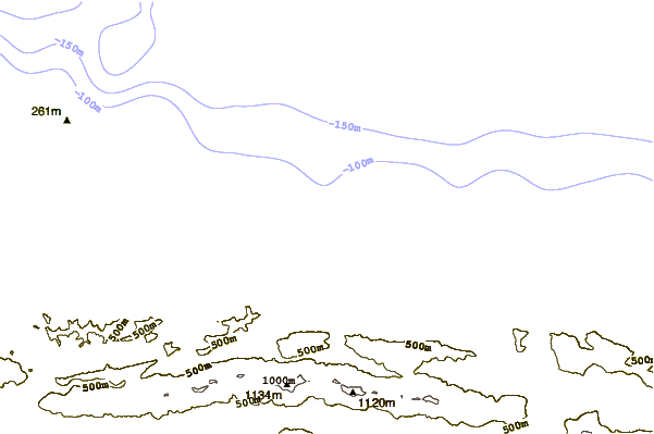
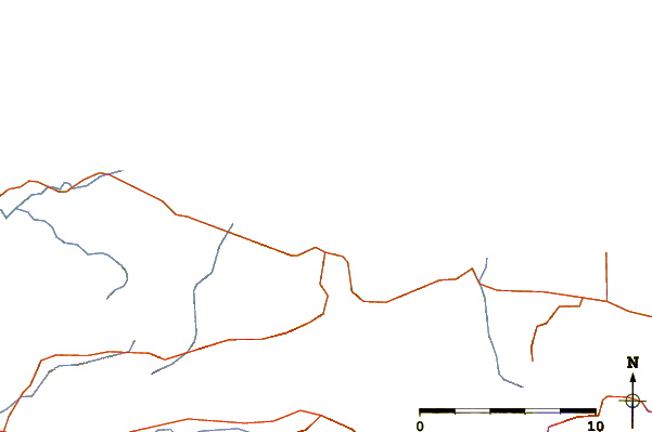
| Contours: | Roads & Rivers: | Select a
tide station / surf break / city |
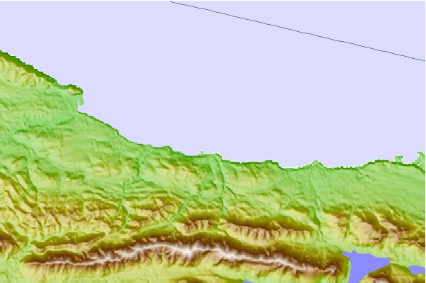
Use this relief map to navigate to tide stations, surf breaks and cities that are in the area of Twin Rivers, Strait of Juan de Fuca, Washington.
Other Nearby Locations' tide tables and tide charts to Twin Rivers, Strait of Juan de Fuca, Washington:
click location name for more details
 Surf breaks close to Twin Rivers, Strait of Juan de Fuca, Washington:
|
||
|---|---|---|
| Closest surf break | Twin Rivers | 1 mi |
| Second closest surf break | Deep Creek | 4 mi |
| Third closest surf break | Lyre River | 6 mi |
| Fourth closest surf break | Pillar Point | 7 mi |
| Fifth closest surf break | Whiskey Creek | 8 mi |


 Nearest
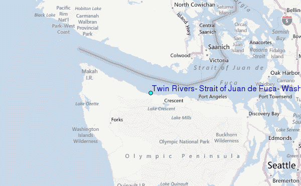