
| Distance / Altitude | Location | Report Date / Time | Live Weather | Wind | Gusts | Temp. | Visibility | Cloud |
|---|---|---|---|---|---|---|---|---|
| 72 km SSW / 15 m | SHIP2654 (Marine) | 2026-07-10 03:00 local (2026/07/09 18:00 GMT) | fresh winds from the SSW (31.680000000000003 km/h at 210) | — | - km | |||
| 81 km WSW / 3 m | BUOY-22105 South Korea (Marine) | 2026-07-10 04:00 local (2026/07/09 19:00 GMT) | fresh winds from the SSW (32 km/h at 200) | 24°C | - | |||
| 81 km WSW / 3 m | BUOY-22105 South Korea (Marine) | 2026-07-10 04:00 local (2026/07/09 19:00 GMT) | fresh winds from the SSW (32 km/h at 200) | 24°C | - | |||
| 81 km WSW / 15 m | SHIP6836 (Marine) | 2026-07-10 02:00 local (2026/07/09 17:00 GMT) | fresh winds from the S (32.4 km/h at 190) | 22°C | - km | |||
| 81 km WSW / 15 m | SHIP3919 (Marine) | 2026-07-10 02:00 local (2026/07/09 17:00 GMT) | fresh winds from the S (32.4 km/h at 190) | 22°C | - km | |||
| 81 km WSW / 15 m | SHIP2379 (Marine) | 2026-07-10 02:00 local (2026/07/09 17:00 GMT) | fresh winds from the S (32.4 km/h at 190) | 22°C | - km | |||
| 81 km WSW / 15 m | SHIP245 (Marine) | 2026-07-10 02:00 local (2026/07/09 17:00 GMT) | fresh winds from the S (32.4 km/h at 190) | 22°C | - km | |||
| 81 km WSW / 15 m | SHIP2048 (Marine) | 2026-07-10 03:00 local (2026/07/09 18:00 GMT) | moderate winds from the SSW (25.2 km/h at 200) | 22°C | - km | |||
| 81 km WSW / 15 m | SHIP1430 (Marine) | 2026-07-10 04:00 local (2026/07/09 19:00 GMT) | fresh winds from the SSW (32.4 km/h at 200) | 22°C | - km | |||
| 117 km SSE / 15 m | SHIP7544 (Marine) | 2026-07-10 02:00 local (2026/07/09 17:00 GMT) | - (- km/h at -) | — | - km |
| Contours: | Roads & Rivers: | Select a
tide station / surf break / city |
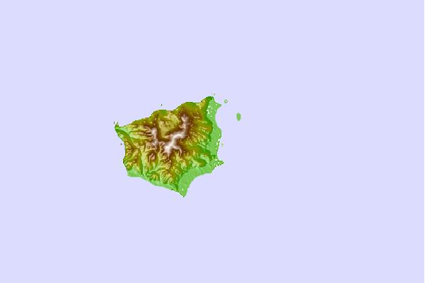
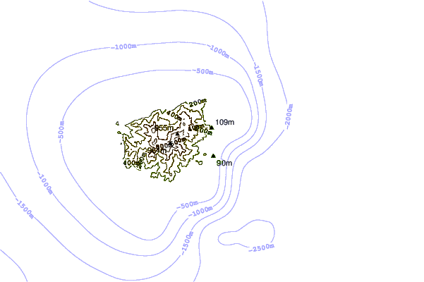
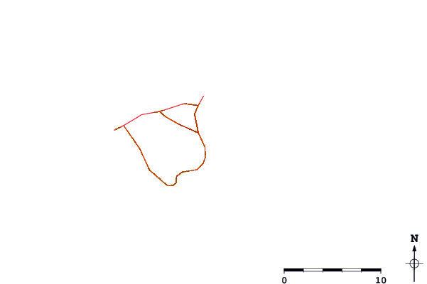
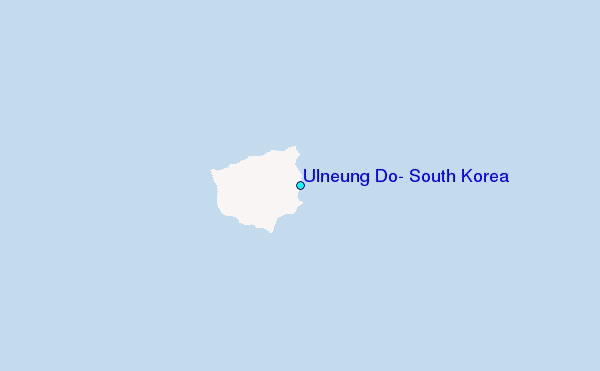
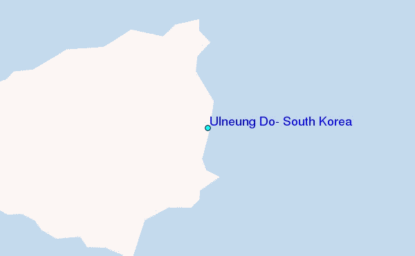
Use this relief map to navigate to tide stations, surf breaks and cities that are in the area of Ulneung Do, South Korea.
Other Nearby Locations' tide tables and tide charts to Ulneung Do, South Korea:
click location name for more details
 Surf breaks close to Ulneung Do, South Korea:
|
||
|---|---|---|
| Closest surf break | Gyongpo Beach | 112 mi |
| Second closest surf break | Jumunjin | 117 mi |
| Third closest surf break | Ingu Beach | 124 mi |
| Fourth closest surf break | 38 Line | 124 mi |
| Fifth closest surf break | Songdojin ni | 158 mi |


 Nearest
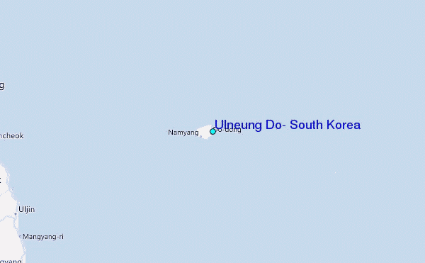