
| Distance / Altitude | Location | Report Date / Time | Live Weather | Wind | Gusts | Temp. | Visibility | Cloud |
|---|---|---|---|---|---|---|---|---|
| 24 km NNE / 14 m | Durban Intnl. Airport (South Africa) | 2026-07-09 23:00 local (2026/07/09 21:00 GMT) | no report | light winds from the SW (7 km/h at 230) | 20°C | - | - | |
| 24 km S / 15 m | Pennington South (South Africa) | 2026-07-09 23:00 local (2026/07/09 21:00 GMT) | no report | wind obs. (6 kph from 150 degs) was rejected (- km/h at -) | 21°C | - | - | |
| 51 km SE / 15 m | ASCATC31E31S (Marine) | 2026-07-09 21:08 local (2026/07/09 19:08 GMT) | moderate winds from the S (27 km/h at 172) | — | - km | |||
| 56 km SE / 15 m | ASCATB31E31S (Marine) | 2026-07-09 20:42 local (2026/07/09 18:42 GMT) | moderate winds from the S (26 km/h at 176) | — | - km | |||
| 57 km W / 527 m | Port Edward (South Africa) | 2026-07-09 23:00 local (2026/07/09 21:00 GMT) | - | calm (4 km/h at 130) | — | - | - | |
| 60 km NNE / 94 m | Mount Edgecombe (South Africa) | 2026-07-09 23:00 local (2026/07/09 21:00 GMT) | no report | wind obs. (6 kph from 210 degs) was rejected (- km/h at -) | 20°C | - | - | |
| 65 km ENE / 15 m | ASCATB31E30S (Marine) | 2026-07-09 20:42 local (2026/07/09 18:42 GMT) | moderate winds from the SSE (23 km/h at 156) | — | - km | |||
| 72 km NW / 721 m | Oribi Airport (South Africa) | 2026-07-09 23:00 local (2026/07/09 21:00 GMT) | no report | wind obs. (9 kph from 80 degs) was rejected (- km/h at -) | 18°C | - | - | |
| 72 km NNE / 109 m | Durban Shaka Airport (South africa) | 2026-07-09 22:00 local (2026/07/09 20:00 GMT) | Light rain | calm (4 km/h at 1) | 18°C | 8.0 | scattered overcast | |
| 74 km NW / 702 m | Pietermaritzburg (S. Africa) | 2026-07-09 23:00 local (2026/07/09 21:00 GMT) | no report | wind obs. (6 kph from 80 degs) was rejected (- km/h at -) | 19°C | - | - |
| Contours: | Roads & Rivers: | Select a
tide station / surf break / city |
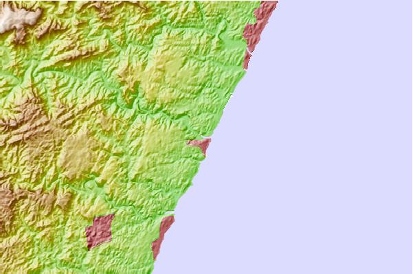
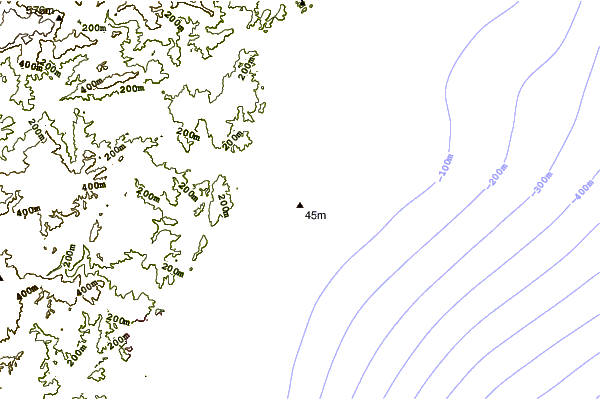
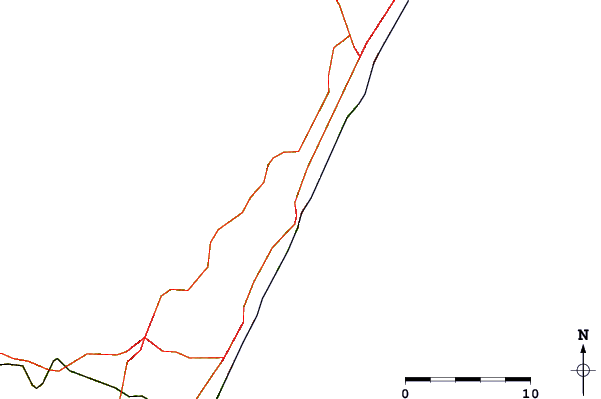
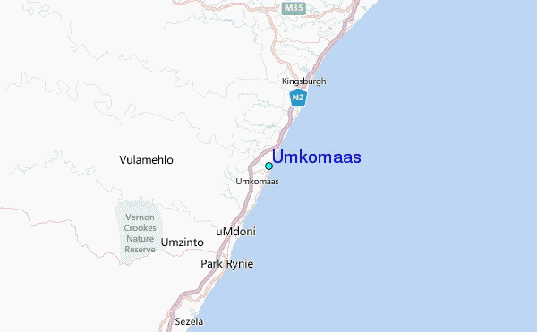
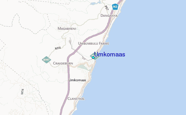
Use this relief map to navigate to tide stations, surf breaks and cities that are in the area of Umkomaas.
Other Nearby Locations' tide tables and tide charts to Umkomaas:
click location name for more details
 Surf breaks close to Umkomaas:
|
||
|---|---|---|
| Closest surf break | Scottburgh Point | 1 mi |
| Second closest surf break | Kelso (Happy Wanderers) | 4 mi |
| Third closest surf break | The Spot | 5 mi |
| Fourth closest surf break | Green Point | 6 mi |
| Fifth closest surf break | Pulpit | 9 mi |


 Nearest
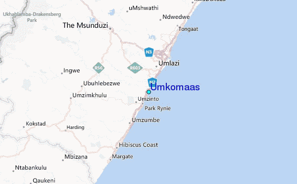