
| Distance / Altitude | Location | Report Date / Time | Live Weather | Wind | Gusts | Temp. | Visibility | Cloud |
|---|---|---|---|---|---|---|---|---|
| 189 km S / 4 m | Coconut Island (Australia) | 2026-07-10 09:00 local (2026/07/09 23:00 GMT) | no report | - (- km/h at -) | 26°C | - | - | |
| 249 km SSW / 15 m | SHIP2034 (Marine) | 2026-07-10 07:00 local (2026/07/09 21:00 GMT) | - (- km/h at -) | 25°C | - km | |||
| 283 km SSW / 13 m | Horn Island Airport (Australia) | 2026-07-10 08:30 local (2026/07/09 22:30 GMT) | Dry and partly cloudy | light winds from the SE (17 km/h at 140) | 26°C | 10.0 | few broken | |
| 284 km SSW / 5 m | Horn Island Automatic Weather Station (Australia) | 2026-07-10 09:00 local (2026/07/09 23:00 GMT) | no report | light winds from the SE (19 km/h at 140) | 26°C | - | - - - | |
| 324 km NNE / 1587 m | Goroka Highlands Airport (Papua-New Guinea) | 2026-07-10 07:00 local (2026/07/09 21:00 GMT) | - | - (- km/h at -) | — | 30 | - - - | |
| 249 km SSW / 15 m | SHIP3369 (Marine) | 2026-07-10 07:00 local (2026/07/09 21:00 GMT) | - (- km/h at -) | 25°C | - km | |||
| 249 km SSW / 15 m | SHIP2773 (Marine) | 2026-07-10 08:00 local (2026/07/09 22:00 GMT) | - (- km/h at -) | 25°C | - km | |||
| 249 km SSW / 3 m | SHIP1483 (Marine) | 2026-07-10 07:00 local (2026/07/09 21:00 GMT) | - (- km/h at -) | 27°C | - | |||
| 249 km SSW / 15 m | SHIP1432 (Marine) | 2026-07-10 08:00 local (2026/07/09 22:00 GMT) | - (- km/h at -) | 25°C | - km | |||
| 249 km SSW / 15 m | SHIP1520 (Marine) | 2026-07-10 07:00 local (2026/07/09 21:00 GMT) | - (- km/h at -) | 25°C | - km |
| Contours: | Roads & Rivers: | Select a
tide station / surf break / city |
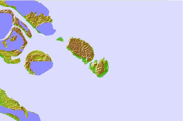
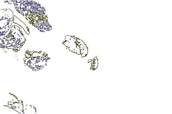
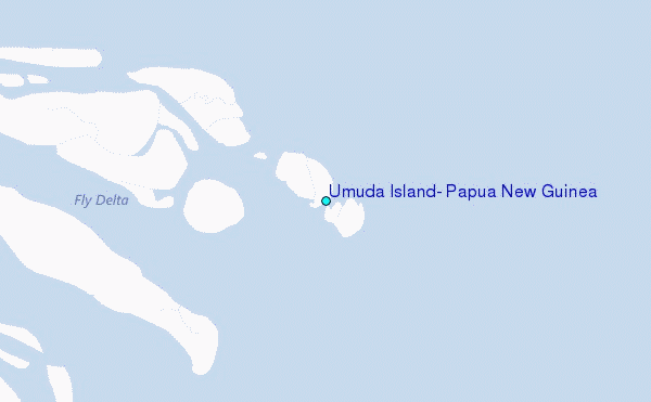
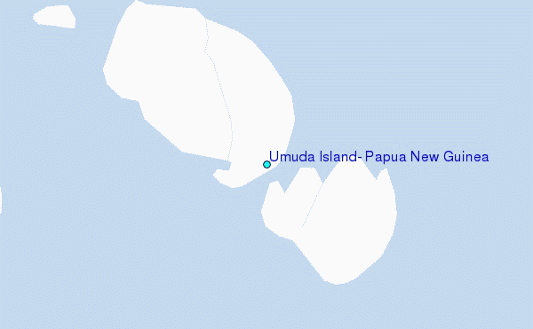
Use this relief map to navigate to tide stations, surf breaks and cities that are in the area of Umuda Island, Papua New Guinea.
Other Nearby Locations' tide tables and tide charts to Umuda Island, Papua New Guinea:
click location name for more details
 Surf breaks close to Umuda Island, Papua New Guinea:
|
||
|---|---|---|
| Closest surf break | Tupira Right | 302 mi |
| Second closest surf break | Forok Point | 337 mi |
| Third closest surf break | The Wharf (Mission Point) | 341 mi |
| Fourth closest surf break | Moem Point | 342 mi |
| Fifth closest surf break | Wewak Point | 342 mi |


 Nearest
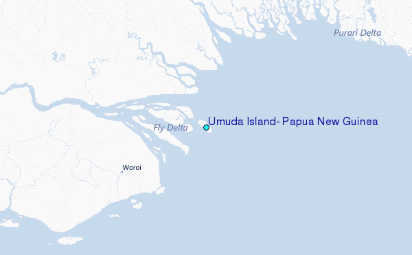