
| Distance / Altitude | Location | Report Date / Time | Live Weather | Wind | Gusts | Temp. | Visibility | Cloud |
|---|---|---|---|---|---|---|---|---|
| 14 km NE / 3 m | BUOY-ADKA2 (Marine) | 2026-07-26 04:18 local (2026/07/26 13:18 GMT) | light winds from the W (18 km/h at 260) | 13°C | - | |||
| 15 km NE / 506 m | Adak Naval Air Station Airport (Alaska) | 2026-07-26 03:29 local (2026/07/26 12:29 GMT) | Dry and partly cloudy | moderate winds from the WSW.(Wind varies from 003 to 009 degs) (20 km/h at 250) | 16°C | 16 | broken | |
| 185 km ENE / 211 m | Atka Airport (Alaska) | 2026-07-26 02:56 local (2026/07/26 11:56 GMT) | Dry and cloudy | light winds from the W (11 km/h at 270) | 17°C | 16 | overcast | |
| 187 km ENE / 3 m | BUOY-ATKA2 (Marine) | 2026-07-26 04:18 local (2026/07/26 13:18 GMT) | light winds from the WNW (9 km/h at 300) | 16°C | - | |||
| 250 km SW / 3 m | Western Aleutians Buoy (Marine) | 2026-07-26 04:30 local (2026/07/26 13:30 GMT) | light winds from the SSE (14 km/h at 150) | 8°C | - | |||
| 322 km E / 3 m | Central Aleutians Buoy (Marine) | 2026-07-26 04:30 local (2026/07/26 13:30 GMT) | light winds from the W (14 km/h at 270) | 10°C | - | |||
| 485 km NE / 3 m | Southeast Bering Sea Buoy (Marine) | 2026-07-26 04:30 local (2026/07/26 13:30 GMT) | moderate winds from the W (25 km/h at 260) | 9°C | - | |||
| 555 km ENE / 3 m | BUOY-OLSA2 (Marine) | 2026-07-26 04:18 local (2026/07/26 13:18 GMT) | moderate winds from the WNW (22 km/h at 290) | 10°C | - | |||
| 556 km ENE / 3 m | BUOY-NKLA2 (Marine) | 2026-07-26 02:22 local (2026/07/26 11:22 GMT) | moderate winds from the W (24 km/h at 260) | 10°C | - | |||
| 586 km N / 3 m | Bering Sea Buoy (Marine) | 2026-07-26 04:30 local (2026/07/26 13:30 GMT) | fresh winds from the WSW (29 km/h at 240) | — | - |
| Contours: | Roads & Rivers: | Select a
tide station / surf break / city |
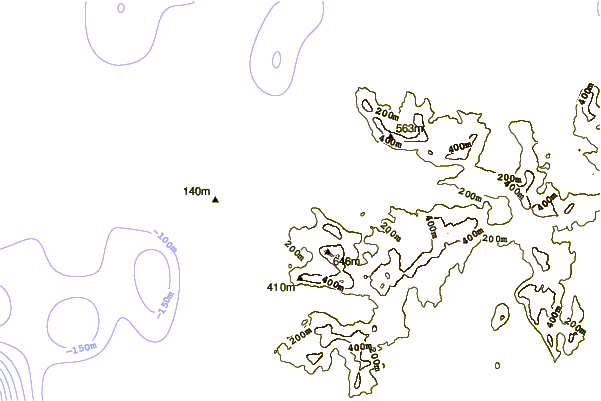
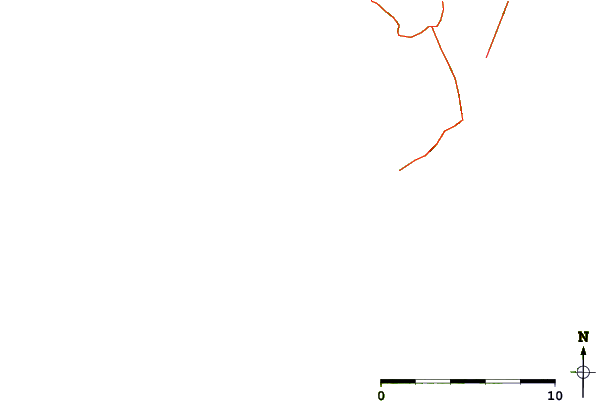
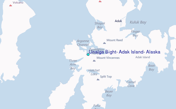
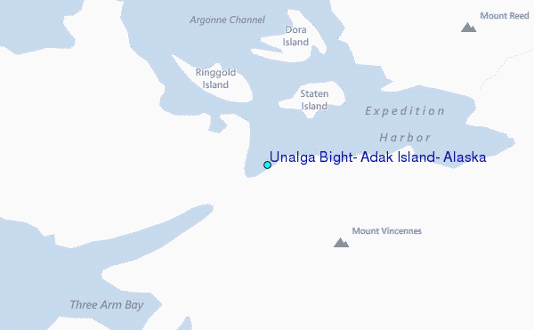
Use this relief map to navigate to tide stations, surf breaks and cities that are in the area of Unalga Bight, Adak Island, Alaska.
Other Nearby Locations' tide tables and tide charts to Unalga Bight, Adak Island, Alaska:
click location name for more details
 Surf breaks close to Unalga Bight, Adak Island, Alaska:
|
||
|---|---|---|
| Closest surf break | Khalaktyrsky Beach | 1025 mi |
| Second closest surf break | Fossil Beach Kodiak | 1047 mi |
| Third closest surf break | Monashka Bay | 1050 mi |
| Fourth closest surf break | Termination Point | 1051 mi |
| Fifth closest surf break | Mill Bay | 1052 mi |


 Nearest
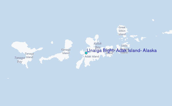