
| Distance / Altitude | Location | Report Date / Time | Live Weather | Wind | Gusts | Temp. | Visibility | Cloud |
|---|---|---|---|---|---|---|---|---|
| 16 km NNE / 53 m | Hiva -OA (French Polynesia) | 2026-07-09 08:30 local (2026/07/09 18:00 GMT) | no report | calm (4 km/h at 40) | 25°C | 15 | - - - | |
| 263 km W / 15 m | ASCATB219E9S (Marine) | 2026-07-09 08:32 local (2026/07/09 18:02 GMT) | light winds from the NE (16 km/h at 43) | — | - km | |||
| 265 km WSW / 15 m | ASCATB219E10S (Marine) | 2026-07-09 08:32 local (2026/07/09 18:02 GMT) | light winds from the ENE (17 km/h at 59) | — | - km | |||
| 304 km W / 15 m | ASCATB219E8S (Marine) | 2026-07-09 08:32 local (2026/07/09 18:02 GMT) | light winds from the ENE (10 km/h at 69) | — | - km | |||
| 366 km WSW / 15 m | ASCATB218E10S (Marine) | 2026-07-09 08:33 local (2026/07/09 18:03 GMT) | moderate winds from the NE (24 km/h at 50) | — | - km | |||
| 376 km WNW / 15 m | ASCATB219E7S (Marine) | 2026-07-09 08:32 local (2026/07/09 18:02 GMT) | light winds from the E (9 km/h at 90) | — | - km | |||
| 377 km WSW / 15 m | ASCATB218E9S (Marine) | 2026-07-09 08:32 local (2026/07/09 18:02 GMT) | moderate winds from the NE (22 km/h at 48) | — | - km | |||
| 396 km SW / 15 m | ASCATB218E11S (Marine) | 2026-07-09 08:33 local (2026/07/09 18:03 GMT) | moderate winds from the NE (22 km/h at 49) | — | - km | |||
| 409 km W / 15 m | ASCATB218E8S (Marine) | 2026-07-09 08:32 local (2026/07/09 18:02 GMT) | light winds from the ENE (16 km/h at 67) | — | - km | |||
| 456 km SSW / 15 m | ASCATB218E12S (Marine) | 2026-07-09 08:33 local (2026/07/09 18:03 GMT) | moderate winds from the SE (27 km/h at 127) | — | - km |
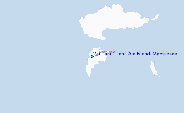
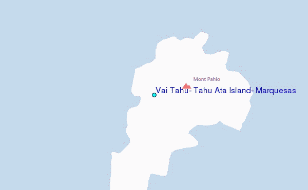
Choose Vai Tahu, Tahu Ata Island, Marquesas Location Map Zoom:
| Contours: | Roads & Rivers: | Select a
tide station / surf break / city |
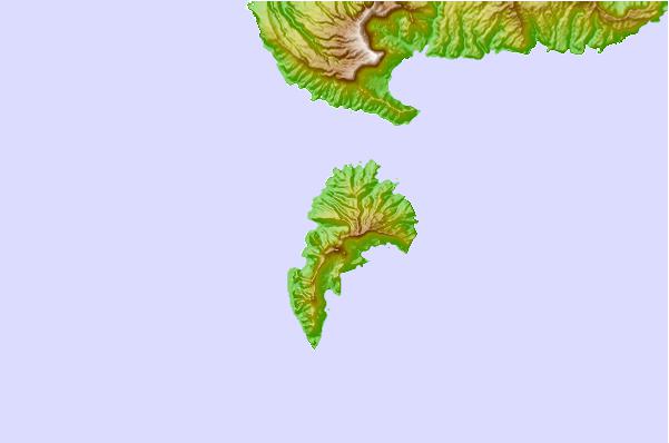
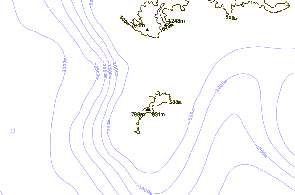

Use this relief map to navigate to tide stations, surf breaks and cities that are in the area of Vai Tahu, Tahu Ata Island, Marquesas.
Other Nearby Locations' tide tables and tide charts to Vai Tahu, Tahu Ata Island, Marquesas:
click location name for more details
 Surf breaks close to Vai Tahu, Tahu Ata Island, Marquesas:
|
||
|---|---|---|
| Closest surf break | Ins and Outs | 864 mi |
| Second closest surf break | Papenoo Rivermouth (L'Embouchure) | 867 mi |
| Third closest surf break | Papenoo Beach (Chinaman's Bay) | 868 mi |
| Fourth closest surf break | Rocky Point | 868 mi |
| Fifth closest surf break | Faaone | 869 mi |


 Nearest
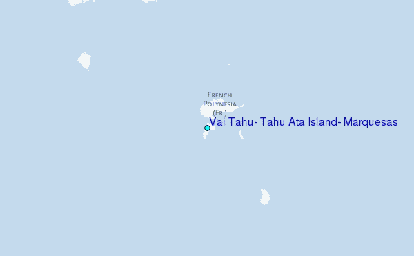