
| Distance / Altitude | Location | Report Date / Time | Live Weather | Wind | Gusts | Temp. | Visibility | Cloud |
|---|---|---|---|---|---|---|---|---|
| 12 km SE / 39 m | Science Garden (Philippines) | 2026-07-10 02:00 local (2026/07/09 18:00 GMT) | rain showers | calm (4 km/h at 140) | 30°C | 8 | - - - | |
| 13 km SE / 26 m | Quezon City (Åland) | 2026-07-10 03:42 local (2026/07/09 19:42 GMT) | dry | calm (3 km/h at 19) | 27°C | - | - - 0 | |
| 24 km S / 217 m | Ninoy Aquino International Airport (Manila) (Philippines) | 2026-07-10 02:00 local (2026/07/09 18:00 GMT) | Dry and partly cloudy | moderate winds from the W (24 km/h at 260) | 29°C | 10.0 | scattered broken broken | |
| 25 km S / 15 m | Ninoy Aquino International Airport (Philippines) | 2026-07-10 02:00 local (2026/07/09 18:00 GMT) | no report | wind obs. (11 kph from 80 degs) was rejected (- km/h at -) | 32°C | 10 | - - - | |
| 26 km S / 2 m | Sangley Point (Philippines) | 2026-07-10 02:00 local (2026/07/09 18:00 GMT) | no report | wind obs. (18 kph from 90 degs) was rejected (- km/h at -) | 32°C | 10 | - - - | |
| 27 km S / 26 m | Paranaque (Philippines) | 2026-07-10 03:20 local (2026/07/09 19:20 GMT) | light rain | light winds from the WNW (8 km/h at 285) | 26°C | - | - - 0 | |
| 33 km SSE / 22 m | Sucat (Philippines) | 2026-07-10 03:28 local (2026/07/09 19:28 GMT) | light rain | light winds from the W (6 km/h at 271) | 25°C | - | - - 0 | |
| 46 km ESE / 217 m | Tanay (Philippines) | 2026-07-10 02:00 local (2026/07/09 18:00 GMT) | haze | wind obs. (7 kph from 120 degs) was rejected (- km/h at -) | 26°C | 15 | - | |
| 64 km WNW / 584 m | Angeles/Pampanga Airport (Philippines) | 2026-07-10 02:00 local (2026/07/09 18:00 GMT) | - | wind obs. (7 kph from 140 degs) was rejected (- km/h at -) | 28°C | 10.0 | few | |
| 67 km WNW / 155 m | Clark AB (Philippines) | 2026-07-10 02:00 local (2026/07/09 18:00 GMT) | - | wind obs. (18 kph from 180 degs) was rejected (- km/h at -) | — | 15 | - - - |
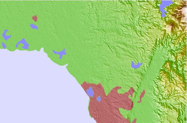
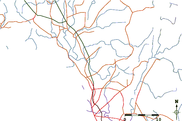
| Contours: | Roads & Rivers: | Select a
tide station / surf break / city |
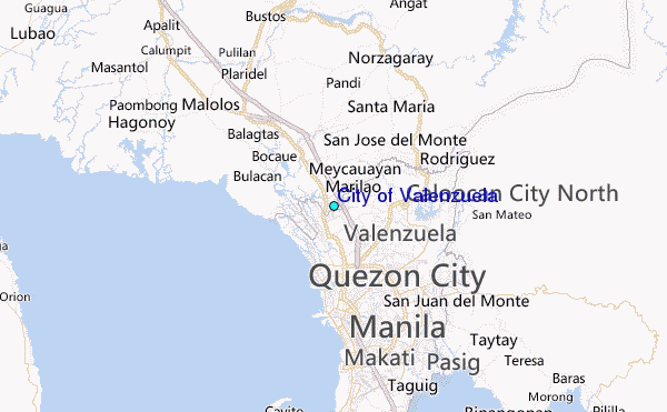
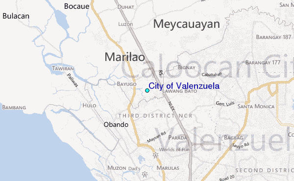
Use this relief map to navigate to tide stations, surf breaks and cities that are in the area of City of Valenzuela.
Other Nearby Locations' tide tables and tide charts to City of Valenzuela:
click location name for more details
 Surf breaks close to City of Valenzuela:
|
||
|---|---|---|
| Closest surf break | Baler - Charlie's Point | 82 mi |
| Second closest surf break | Baler - Lindy's Point | 82 mi |
| Third closest surf break | Baler - Sabang | 82 mi |
| Fourth closest surf break | Cobra Reef - Cemento | 83 mi |
| Fifth closest surf break | Malaking Gasang (Baler) | 93 mi |


 Nearest
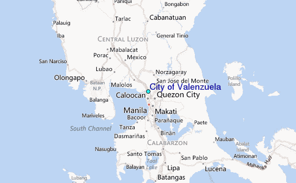