
| Distance / Altitude | Location | Report Date / Time | Live Weather | Wind | Gusts | Temp. | Visibility | Cloud |
|---|---|---|---|---|---|---|---|---|
| 3 km ESE / 218 m | Vancouver Airport (Washington) | 2026-06-23 18:53 local (2026/06/24 01:53 GMT) | Clear | wind obs. (19 kph from 320 degs) was rejected (- km/h at -) | 33°C | 16 | ||
| 8 km SE / 218 m | Portland Airport (Oregon) | 2026-06-23 18:53 local (2026/06/24 01:53 GMT) | - | light winds from the WNW (19 km/h at 300) | 33°C | 16 | few few | |
| 9 km NE / 94 m | Vancouver (Washington) | 2026-06-23 19:16 local (2026/06/24 02:16 GMT) | dry | calm (0 km/h at 115) | 18°C | - | - - 0 | |
| 21 km WNW / 219 m | Scappoose Airport (Oregon) | 2026-06-23 18:53 local (2026/06/24 01:53 GMT) | Clear | light winds from the NNW (17 km/h at 330) | 32°C | 16 | ||
| 22 km ESE / 218 m | Troutdale Airport (Oregon) | 2026-06-23 18:53 local (2026/06/24 01:53 GMT) | Clear | light winds from the W (7 km/h at 260) | 34°C | 16 | ||
| 29 km S / 70 m | Tualatin (Oregon) | 2026-06-23 19:38 local (2026/06/24 02:38 GMT) | dry | wind obs. (14 kph from 356 degs) was rejected (- km/h at -) | 24°C | - | - - 0 | |
| 40 km SSW / 177 m | Springbrook wx (United States) | 2026-06-23 18:40 local (2026/06/24 01:40 GMT) | dry | calm (0 km/h at 230) | 21°C | - | - - 0 | |
| 41 km NW / 3 m | BUOY-KLMW1 (Marine) | 2026-06-23 19:30 local (2026/06/24 02:30 GMT) | - (- km/h at -) | — | - | |||
| 42 km S / 214 m | Aurora Airport (Oregon) | 2026-06-23 18:53 local (2026/06/24 01:53 GMT) | Clear | light winds from the SW (7 km/h at 220) | 32°C | 16 | ||
| 57 km NW / 220 m | Kelso Longveiw Airport (Washington) | 2026-06-23 18:56 local (2026/06/24 01:56 GMT) | Clear | light winds from the N (6 km/h at 1) | 29°C | 16 |
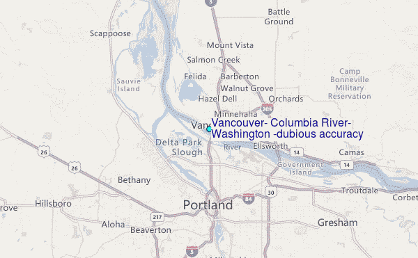
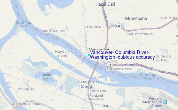
Choose Vancouver, Columbia River, Washington (dubious accuracy) Location Map Zoom:
| Contours: | Roads & Rivers: | Select a
tide station / surf break / city |
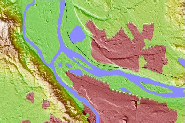
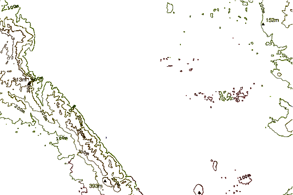
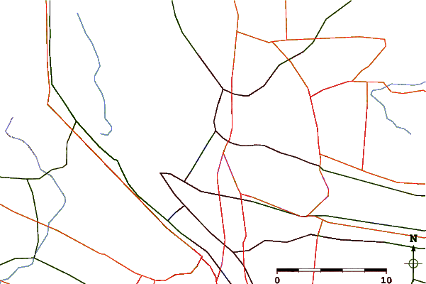
Use this relief map to navigate to tide stations, surf breaks and cities that are in the area of Vancouver, Columbia River, Washington (dubious accuracy).
Other Nearby Locations' tide tables and tide charts to Vancouver, Columbia River, Washington (dubious accuracy):
click location name for more details
 Surf breaks close to Vancouver, Columbia River, Washington (dubious accuracy):
|
||
|---|---|---|
| Closest surf break | Manzanita | 61 mi |
| Second closest surf break | Rockaway | 61 mi |
| Third closest surf break | Neakahine Point | 62 mi |
| Fourth closest surf break | Barview Jetty | 63 mi |
| Fifth closest surf break | Oswald State Park/Short Sands | 63 mi |


 Nearest
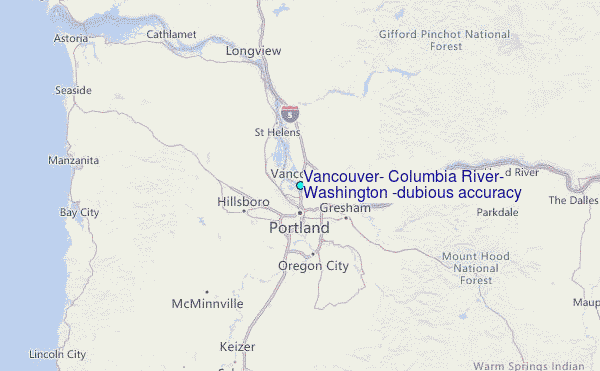