
| Distance / Altitude | Location | Report Date / Time | Live Weather | Wind | Gusts | Temp. | Visibility | Cloud |
|---|---|---|---|---|---|---|---|---|
| 5 km SSE / 3 m | BUOY-VENF1 (Marine) | 2026-07-25 19:00 local (2026/07/25 23:00 GMT) | moderate winds from the WNW (22 km/h at 300) | 30°C | - | |||
| 6 km SSE / 6 m | Venice Municipal Airport (Florida) (Florida) | 2026-07-25 18:35 local (2026/07/25 22:35 GMT) | Dry and partly cloudy | light winds from the WNW (19 km/h at 290) | 30°C | 16 | scattered broken broken | |
| 6 km NW / 3 m | thunderstorm affecting Laurel (United States) | 2026-07-25 18:17 local (2026/07/25 22:17 GMT) | Thunderstorm | (- km/h at -) | — | |||
| 8 km N / 5 m | thunderstorm affecting Osprey (United States) | 2026-07-25 19:03 local (2026/07/25 23:03 GMT) | Thunderstorm | (- km/h at -) | — | |||
| 25 km ESE / 3 m | thunderstorm affecting North Port (United States) | 2026-07-25 19:02 local (2026/07/25 23:02 GMT) | Thunderstorm | (- km/h at -) | — | |||
| 25 km ENE / 9 m | lightning 13km N of Warm Mineral Springs (United States) | 2026-07-25 19:18 local (2026/07/25 23:18 GMT) | Thunderstorm | (- km/h at -) | — | |||
| 33 km NE / 15 m | lightning 24km ENE of Lake Sarasota (United States) | 2026-07-25 19:03 local (2026/07/25 23:03 GMT) | Thunderstorm | (- km/h at -) | — | |||
| 33 km NW / 219 m | Sarasota/Bradenton Airport (Florida) | 2026-07-25 17:53 local (2026/07/25 21:53 GMT) | - | moderate winds from the WNW (26 km/h at 300) | 32°C | 16 | few | |
| 34 km NNE / 16 m | lightning 13km NE of The Meadows (United States) | 2026-07-25 19:01 local (2026/07/25 23:01 GMT) | Thunderstorm | (- km/h at -) | — | |||
| 36 km E / 8 m | lightning 14km N of Port Charlotte (United States) | 2026-07-25 18:15 local (2026/07/25 22:15 GMT) | Thunderstorm | (- km/h at -) | — |
| Contours: | Roads & Rivers: | Select a
tide station / surf break / city |
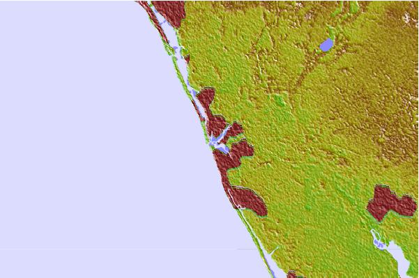

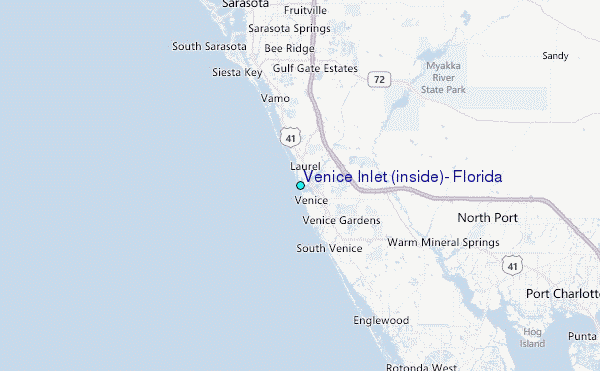
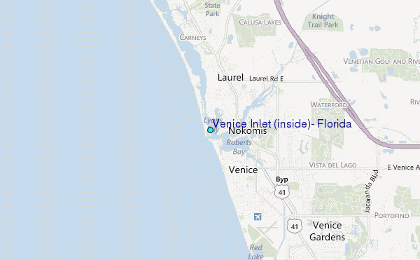
Use this relief map to navigate to tide stations, surf breaks and cities that are in the area of Venice Inlet (inside), Florida.
Other Nearby Locations' tide tables and tide charts to Venice Inlet (inside), Florida:
click location name for more details
 Surf breaks close to Venice Inlet (inside), Florida:
|
||
|---|---|---|
| Closest surf break | Venice North and South Jetty | 4 mi |
| Second closest surf break | Point o Rocks | 10 mi |
| Third closest surf break | Turtle Beach | 19 mi |
| Fourth closest surf break | Siesta | 21 mi |
| Fifth closest surf break | Bradenton Beach | 30 mi |


 Nearest
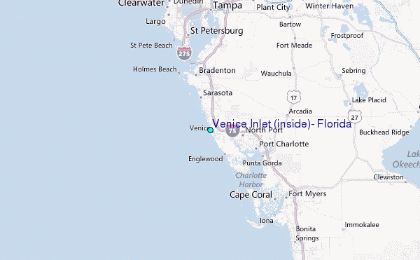