
| Distance / Altitude | Location | Report Date / Time | Live Weather | Wind | Gusts | Temp. | Visibility | Cloud |
|---|---|---|---|---|---|---|---|---|
| 39 km S / 195 m | Bombay/Santacruz Airport (India) | 2026-07-10 02:00 local (2026/07/09 20:30 GMT) | Mist - | light winds from the WSW (15 km/h at 240) | 29°C | 3.0 | scattered scattered broken | |
| 183 km N / 5 m | Surat Airport (India) | 2026-07-10 02:00 local (2026/07/09 20:30 GMT) | Mist - | light winds from the SW (15 km/h at 230) | 28°C | 4.0 | few scattered | |
| 399 km N / 192 m | Ahmadabad (India) | 2026-07-10 02:00 local (2026/07/09 20:30 GMT) | Haze - | light winds from the SW (19 km/h at 220) | 28°C | 3.0 | few scattered broken | |
| 466 km SSE / 52 m | Dabolim Airport - Goa (India) | 2026-07-10 02:00 local (2026/07/09 20:30 GMT) | Mist - | light winds from the WNW (13 km/h at 290) | 28°C | 4.8 | few scattered | |
| 475 km NE / 567 m | Indore (India) | 2026-07-10 02:00 local (2026/07/09 20:30 GMT) | Haze - | moderate winds from the SW (24 km/h at 230) | 25°C | 5.0 | scattered broken - | |
| 631 km NE / 523 m | Bhopal-Bairagarh (India) | 2026-07-10 02:00 local (2026/07/09 20:30 GMT) | Haze - | light winds from the SW (11 km/h at 230) | 25°C | 5.0 | scattered broken broken | |
| 645 km ESE / 605 m | Rajiv Gandhi International Airport (India) | 2026-07-10 02:00 local (2026/07/09 20:30 GMT) | Haze - | moderate winds from the W (24 km/h at 270) | 26°C | 5.0 | scattered broken | |
| 676 km ENE / 32 m | Nagpur Sonegaon Airport (India) | 2026-07-10 02:00 local (2026/07/09 20:30 GMT) | Mist - | calm (4 km/h at 1) | 28°C | 4.0 | scattered broken | |
| 753 km SSE / 103 m | Mangalore International Airport (Bajpe) (India) | 2026-07-10 02:00 local (2026/07/09 20:30 GMT) | Dry and partly cloudy | calm (0 km/h at 0) | 26°C | 6.0 | few scattered broken | |
| 838 km WNW / 201 m | Karachi International Airport (Pakistan) | 2026-07-10 02:00 local (2026/07/09 20:30 GMT) | Haze - | moderate winds from the WSW (28 km/h at 250) | 29°C | 5.0 | broken |
| Contours: | Roads & Rivers: | Select a
tide station / surf break / city |
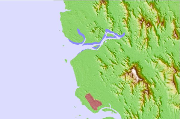
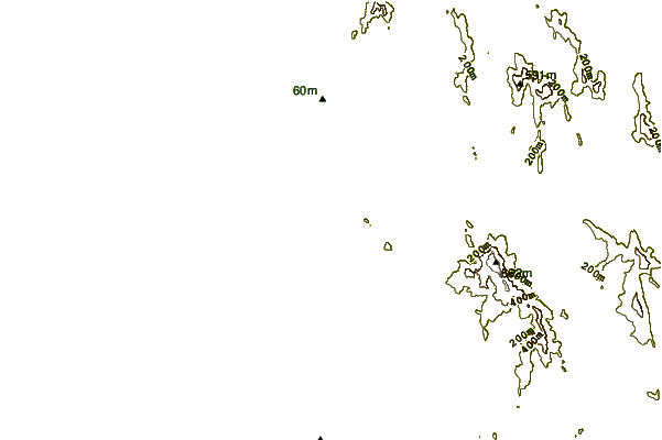
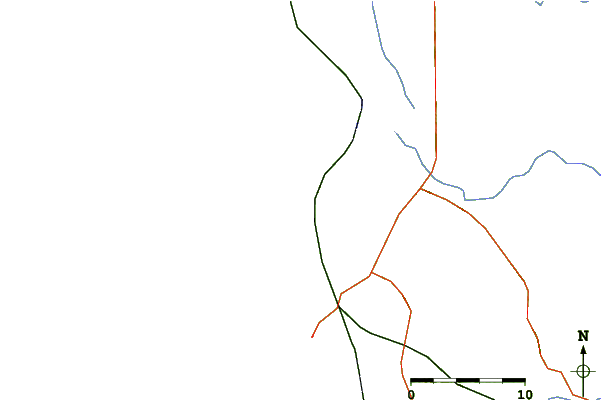
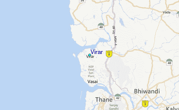
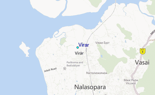
Use this relief map to navigate to tide stations, surf breaks and cities that are in the area of Virar.
Other Nearby Locations' tide tables and tide charts to Virar:
click location name for more details
 Surf breaks close to Virar:
|
||
|---|---|---|
| Closest surf break | Arambol | 268 mi |
| Second closest surf break | Morjim Beach | 272 mi |
| Third closest surf break | Betalbatim Beach Taj | 298 mi |
| Fourth closest surf break | Benaulim Beach | 300 mi |
| Fifth closest surf break | Dwarka Beach | 313 mi |


 Nearest
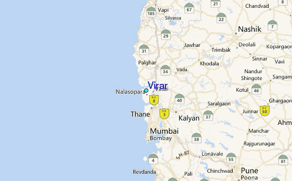