
| Distance / Altitude | Location | Report Date / Time | Live Weather | Wind | Gusts | Temp. | Visibility | Cloud |
|---|---|---|---|---|---|---|---|---|
| 69 km WNW / 5 m | Tân Bình wx (Vietnam) | 2026-06-26 01:45 local (2026/06/25 18:45 GMT) | dry | light winds from the S (6 km/h at 171) | 28°C | - | - - 0 | |
| 69 km WNW / 218 m | Ho Chi Minh/Tan Son Nhat International Airport (Viet Nam) | 2026-06-26 00:30 local (2026/06/25 17:30 GMT) | - | light winds from the WSW.(Wind varies from 200 to 260 degs) (13 km/h at 240) | — | 0.0 | ||
| 150 km WSW / 3 m | Can Tho Airport (Viet nam) | 2026-06-26 00:30 local (2026/06/25 17:30 GMT) | Dry and partly cloudy | calm (2 km/h at 1) | 26°C | 10.0 | few broken | |
| 159 km N / 205 m | Ấp Phước Quả B wx (Vietnam) | 2026-06-26 01:20 local (2026/06/25 18:20 GMT) | dry | calm (2 km/h at 112) | 25°C | - | - - 0 | |
| 161 km W / 6 m | Svay Rieng (Cambodia) | 2026-06-26 01:00 local (2026/06/25 18:00 GMT) | no report | light winds from the SW (14 km/h at 220) | 28°C | - | - | |
| 229 km W / 13 m | Prey Veng (Cambodia) | 2026-06-26 01:00 local (2026/06/25 18:00 GMT) | no report | wind obs. (7 kph from 300 degs) was rejected (- km/h at -) | 32°C | - | - | |
| 278 km W / 10 m | Phnom -Penh (Khmough) (Cambodia) | 2026-06-26 01:00 local (2026/06/25 18:00 GMT) | no report | light winds from the W (11 km/h at 280) | 31°C | - | - | |
| 283 km W / 8 m | Kandal (Cambodia) | 2026-06-26 01:00 local (2026/06/25 18:00 GMT) | no report | wind obs. (7 kph from 300 degs) was rejected (- km/h at -) | 29°C | - | - | |
| 299 km NE / 12 m | Cam Ranh Bay Airport (Viet nam) | 2026-06-26 00:30 local (2026/06/25 17:30 GMT) | - | light winds from the SSW (15 km/h at 200) | — | 0.0 | ||
| 301 km W / 27 m | Kompong Speu (Cambodia) | 2026-06-26 01:00 local (2026/06/25 18:00 GMT) | no report | calm (0 km/h at 210) | 25°C | - | - - - |
| Contours: | Roads & Rivers: | Select a
tide station / surf break / city |
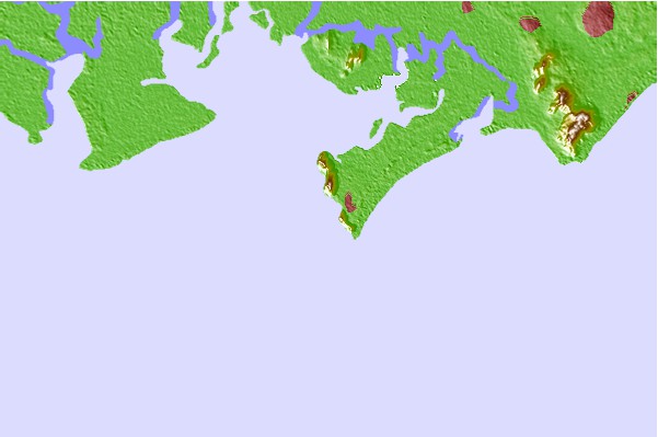
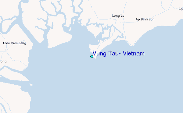
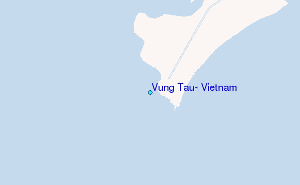
Use this relief map to navigate to tide stations, surf breaks and cities that are in the area of Vung Tau, Vietnam.
Other Nearby Locations' tide tables and tide charts to Vung Tau, Vietnam:
click location name for more details
 Surf breaks close to Vung Tau, Vietnam:
|
||
|---|---|---|
| Closest surf break | Vung Tau (Back Beach) | 2 mi |
| Second closest surf break | Mui Ne | 93 mi |
| Third closest surf break | Bai Dai Nha Trang | 190 mi |
| Fourth closest surf break | Dark Reef | 192 mi |
| Fifth closest surf break | Hon Chong Beach Break | 198 mi |


 Nearest
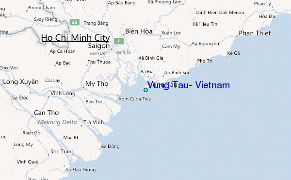