
| Distance / Altitude | Location | Report Date / Time | Live Weather | Wind | Gusts | Temp. | Visibility | Cloud |
|---|---|---|---|---|---|---|---|---|
| 120 km WNW / 40 m | Chelsea (Australia) | 2026-06-22 17:16 local (2026/06/22 07:16 GMT) | dry | calm (0 km/h at 261) | 16°C | - | - - 0 | |
| 153 km WNW / 15 m | SHIP6680 (Marine) | 2026-06-22 15:00 local (2026/06/22 05:00 GMT) | - (- km/h at -) | — | - km | |||
| 161 km WNW / 214 m | Avalon Airport (Australia) | 2026-06-22 16:30 local (2026/06/22 06:30 GMT) | Dry and partly cloudy | calm (0 km/h at 0) | 12°C | 10.0 | broken | |
| 169 km WNW / 217 m | Melbourne International Airport (Australia) | 2026-06-22 16:30 local (2026/06/22 06:30 GMT) | Dry and partly cloudy | light winds from the S (13 km/h at 170) | 11°C | 10.0 | few scattered | |
| 153 km WNW / 3 m | SHIP6126 (Marine) | 2026-06-22 15:00 local (2026/06/22 05:00 GMT) | - (- km/h at -) | 13°C | - | |||
| 153 km WNW / 3 m | SHIP3222 (Marine) | 2026-06-22 16:00 local (2026/06/22 06:00 GMT) | - (- km/h at -) | 13°C | - | |||
| 153 km WNW / 15 m | SHIP2360 (Marine) | 2026-06-22 15:00 local (2026/06/22 05:00 GMT) | - (- km/h at -) | — | - km | |||
| 153 km WNW / 15 m | SHIP561 (Marine) | 2026-06-22 15:00 local (2026/06/22 05:00 GMT) | - (- km/h at -) | — | - km | |||
| 153 km WNW / 15 m | SHIP1796 (Marine) | 2026-06-22 16:00 local (2026/06/22 06:00 GMT) | - (- km/h at -) | — | - km | |||
| 153 km WNW / 3 m | SHIP2549 (Marine) | 2026-06-22 15:00 local (2026/06/22 05:00 GMT) | - (- km/h at -) | 13°C | - |
| Contours: | Roads & Rivers: | Select a
tide station / surf break / city |
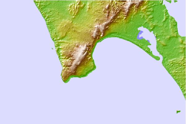
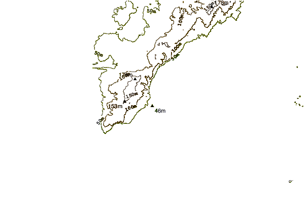
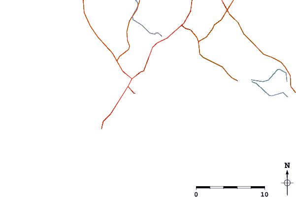
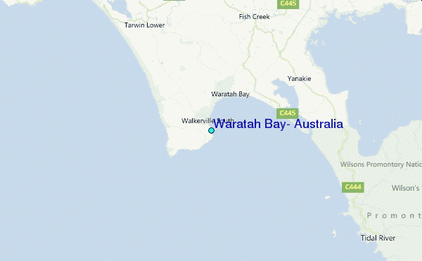
Use this relief map to navigate to tide stations, surf breaks and cities that are in the area of Waratah Bay, Australia.
Other Nearby Locations' tide tables and tide charts to Waratah Bay, Australia:
click location name for more details
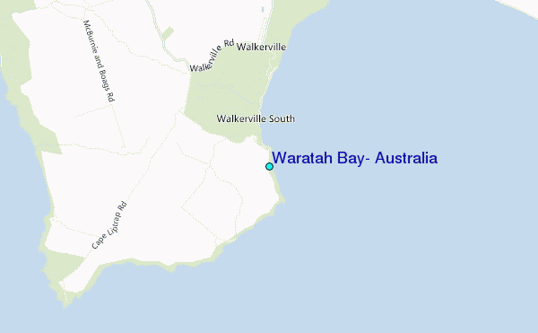
 Surf breaks close to Waratah Bay, Australia:
|
||
|---|---|---|
| Closest surf break | Walkerville | 2 mi |
| Second closest surf break | Cape Liptrap | 4 mi |
| Third closest surf break | Sandy Point | 7 mi |
| Fourth closest surf break | Darbys (Wilsons Promontory) | 16 mi |
| Fifth closest surf break | Buckleys Reef (Wilsons Promontory) | 17 mi |


 Nearest
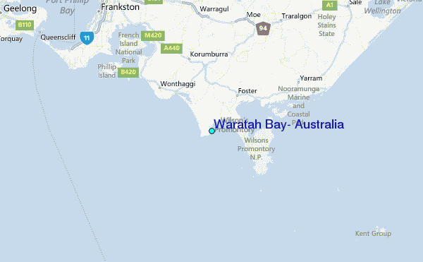