
| Distance / Altitude | Location | Report Date / Time | Live Weather | Wind | Gusts | Temp. | Visibility | Cloud |
|---|---|---|---|---|---|---|---|---|
| 10 km WSW / 42 m | Tappahannock Airport (Virginia) | 2026-06-14 20:35 local (2026/06/15 00:35 GMT) | Heavy rain | light winds from the S (19 km/h at 170) | 22°C | 6 | scattered broken overcast | |
| 15 km S / 40 m | lightning 22km SE of Tappahannock (United States) | 2026-06-14 20:04 local (2026/06/15 00:04 GMT) | Thunderstorm | (- km/h at -) | — | |||
| 29 km N / 42 m | lightning 19km ESE of Colonial Beach (United States) | 2026-06-14 19:48 local (2026/06/14 23:48 GMT) | Thunderstorm | (- km/h at -) | — | |||
| 31 km ENE / 0 m | lightning 26km ENE of Warsaw (United States) | 2026-06-14 20:05 local (2026/06/15 00:05 GMT) | Thunderstorm | (- km/h at -) | — | |||
| 31 km ENE / 3 m | BUOY-LWTV2 (Marine) | 2026-06-14 21:00 local (2026/06/15 01:00 GMT) | fresh winds from the SW (32 km/h at 230) | 23°C | - | |||
| 34 km ENE / 0 m | lightning 26km S of Lexington Park (United States) | 2026-06-14 21:01 local (2026/06/15 01:01 GMT) | Thunderstorm | (- km/h at -) | — | |||
| 36 km NE / 3 m | BUOY-PPTM2 (Marine) | 2026-06-14 21:00 local (2026/06/15 01:00 GMT) | strong winds from the S (39 km/h at 170) | — | - | |||
| 39 km SSE / 25 m | lightning 14km ENE of West Point (United States) | 2026-06-14 20:33 local (2026/06/15 00:33 GMT) | Thunderstorm | (- km/h at -) | — | |||
| 40 km S / 217 m | West Point Airport (Virginia) | 2026-06-14 20:35 local (2026/06/15 00:35 GMT) | Dry and cloudy | wind obs. (9 kph from 40 degs) was rejected (- km/h at -) | 22°C | 2 | broken overcast | |
| 41 km NNE / 1 m | lightning 8km S of Leonardtown (United States) | 2026-06-14 21:05 local (2026/06/15 01:05 GMT) | Thunderstorm | (- km/h at -) | — |
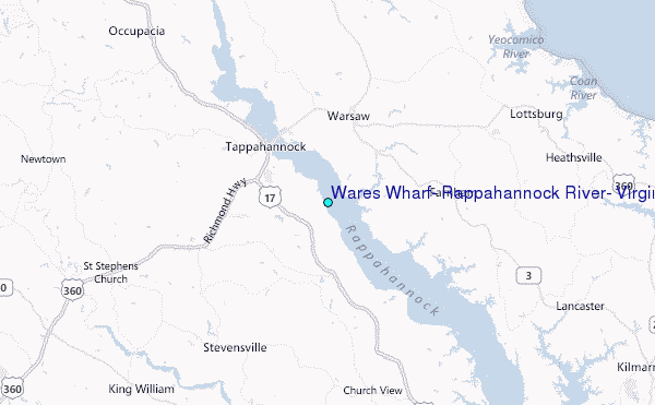
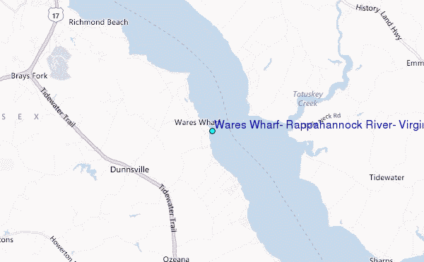
Choose Wares Wharf, Rappahannock River, Virginia Location Map Zoom:
| Contours: | Roads & Rivers: | Select a
tide station / surf break / city |
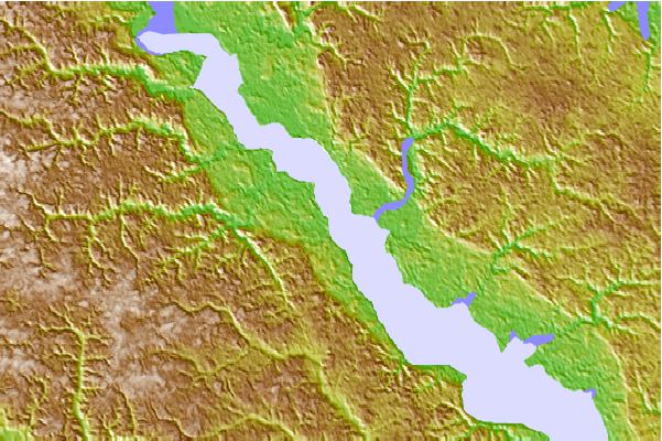
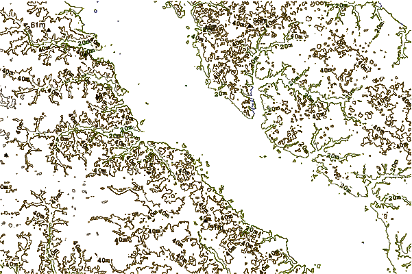
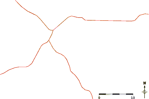
Use this relief map to navigate to tide stations, surf breaks and cities that are in the area of Wares Wharf, Rappahannock River, Virginia.
Other Nearby Locations' tide tables and tide charts to Wares Wharf, Rappahannock River, Virginia:
click location name for more details
 Surf breaks close to Wares Wharf, Rappahannock River, Virginia:
|
||
|---|---|---|
| Closest surf break | Grandview | 61 mi |
| Second closest surf break | Fishermans Island | 71 mi |
| Third closest surf break | North End | 78 mi |
| Fourth closest surf break | Out Front | 79 mi |
| Fifth closest surf break | Chincoteague | 80 mi |


 Nearest
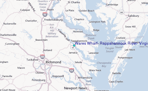