
| Distance / Altitude | Location | Report Date / Time | Live Weather | Wind | Gusts | Temp. | Visibility | Cloud |
|---|---|---|---|---|---|---|---|---|
| 23 km W / 13 m | Galle (Sri Lanka) | 2026-07-10 05:30 local (2026/07/10 00:00 GMT) | no report | light winds from the WSW (11 km/h at 250) | 30°C | 20 | - | |
| 79 km N / 86 m | Ratnapura (Sri Lanka) | 2026-07-10 05:30 local (2026/07/10 00:00 GMT) | - | wind obs. (7 kph from 30 degs) was rejected (- km/h at -) | — | - | - | |
| 81 km ENE / 77 m | Hambantota (Sri Lanka) | 2026-07-10 05:30 local (2026/07/10 00:00 GMT) | no report | moderate winds from the SW (25 km/h at 220) | 30°C | - | - | |
| 87 km ENE / 7 m | Mattala Rajapaksa International Airport (Sri lanka) | 2026-07-10 05:40 local (2026/07/10 00:10 GMT) | - | light winds from the W (9 km/h at 260) | 26°C | 10.0 | few | |
| 111 km NW / 5 m | Ratmalana (Sri Lanka) | 2026-07-10 05:30 local (2026/07/10 00:00 GMT) | - | light winds from the WSW (11 km/h at 250) | — | 20 | - | |
| 112 km NW / 5 m | Colombo-Ratmalana Airport (Sri lanka) | 2026-07-10 05:30 local (2026/07/10 00:00 GMT) | Dry and partly cloudy | light winds from the SW (11 km/h at 230) | 26°C | 10.0 | broken | |
| 114 km NNE / 1225 m | Bandarawela (Sri Lanka) | 2026-07-10 05:30 local (2026/07/10 00:00 GMT) | no report | light winds from the W (7 km/h at 270) | 27°C | 20 | - | |
| 117 km NNE / 1895 m | Nuwara Eliya (Sri Lanka) | 2026-07-10 05:30 local (2026/07/10 00:00 GMT) | no report | light winds from the W (14 km/h at 280) | 17°C | - | - | |
| 120 km NW / 5 m | Colombo (Sri Lanka) | 2026-07-10 05:30 local (2026/07/10 00:00 GMT) | no report | calm (4 km/h at 260) | 26°C | - | - | |
| 125 km NW / 0 m | Port City Beach Park (Sri Lanka) | 2026-07-10 05:30 local (2026/07/10 00:00 GMT) | - | fresh winds from the SW (35 km/h at 231) | 28°C | - | - - 0 |
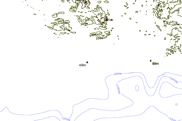
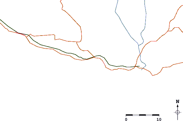
| Contours: | Roads & Rivers: | Select a
tide station / surf break / city |
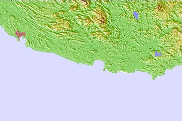
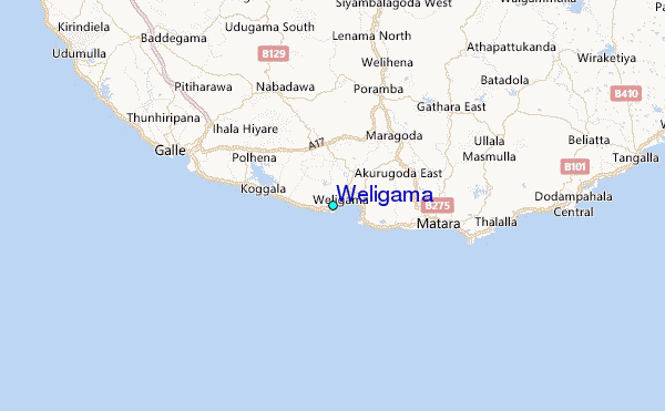
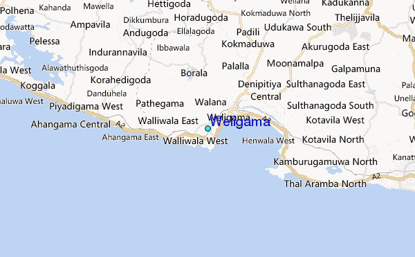
Use this relief map to navigate to tide stations, surf breaks and cities that are in the area of Weligama.
Other Nearby Locations' tide tables and tide charts to Weligama:
click location name for more details
 Surf breaks close to Weligama:
|
||
|---|---|---|
| Closest surf break | Fishermans | 1 mi |
| Second closest surf break | Jungle Beach Left | 1 mi |
| Third closest surf break | Jungle Beach Right | 1 mi |
| Fourth closest surf break | Coconuts | 1 mi |
| Fifth closest surf break | Main Point (Weligama) | 1 mi |


 Nearest
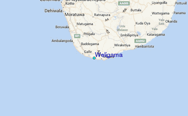