
| Distance / Altitude | Location | Report Date / Time | Live Weather | Wind | Gusts | Temp. | Visibility | Cloud |
|---|---|---|---|---|---|---|---|---|
| 322 km N / 0 m | lightning (Papua New Guinea) | 2026-07-10 05:46 local (2026/07/09 19:46 GMT) | Thunderstorm | (- km/h at -) | — | |||
| 340 km SE / 1587 m | Goroka Highlands Airport (Papua-New Guinea) | 2026-07-10 07:00 local (2026/07/09 21:00 GMT) | - | - (- km/h at -) | — | 30 | - | |
| 362 km W / 88 m | Jayapura/Sentani Airport (Indonesia) | 2026-07-10 06:30 local (2026/07/09 20:30 GMT) | Dry and partly cloudy | calm (2 km/h at 1) | 24°C | 8.0 | broken broken - | |
| 479 km SE / 70 m | Nadzab W.o. (Papua New Guinea) | 2026-07-10 07:00 local (2026/07/09 21:00 GMT) | rain | - (- km/h at -) | 25°C | 30 | - | |
| 504 km SE / 15 m | SHIP2546 (Marine) | 2026-07-10 06:00 local (2026/07/09 20:00 GMT) | - (- km/h at -) | — | - km | |||
| 502 km SE / 15 m | SHIP7627 (Marine) | 2026-07-10 06:00 local (2026/07/09 20:00 GMT) | - (- km/h at -) | — | - km | |||
| 502 km SE / 3 m | SHIP4330 (Marine) | 2026-07-10 06:00 local (2026/07/09 20:00 GMT) | - (- km/h at -) | 24°C | - | |||
| 511 km SE / 15 m | SHIP1586 (Marine) | 2026-07-10 05:00 local (2026/07/09 19:00 GMT) | - (- km/h at -) | — | - km | |||
| 511 km SE / 3 m | SHIP3767 (Marine) | 2026-07-10 05:00 local (2026/07/09 19:00 GMT) | - (- km/h at -) | 24°C | - | |||
| 511 km SE / 15 m | SHIP5484 (Marine) | 2026-07-10 05:00 local (2026/07/09 19:00 GMT) | - (- km/h at -) | — | - km |
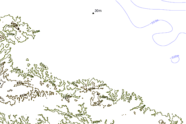
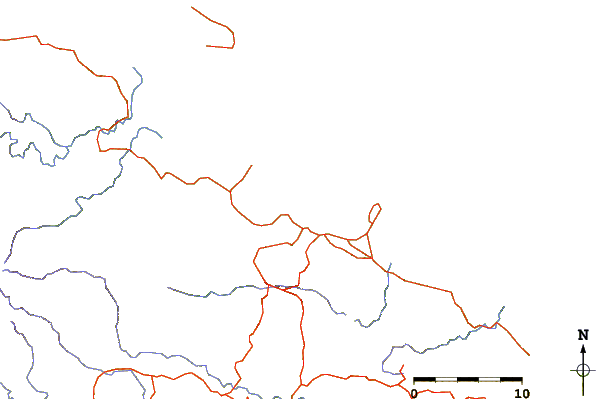
| Contours: | Roads & Rivers: | Select a
tide station / surf break / city |
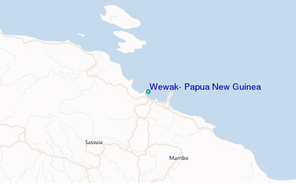
Use this relief map to navigate to tide stations, surf breaks and cities that are in the area of Wewak, Papua New Guinea.
Other Nearby Locations' tide tables and tide charts to Wewak, Papua New Guinea:
click location name for more details
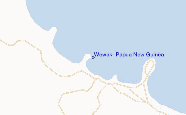
 Surf breaks close to Wewak, Papua New Guinea:
|
||
|---|---|---|
| Closest surf break | Wewak Point | 0 mi |
| Second closest surf break | The Wharf (Mission Point) | 2 mi |
| Third closest surf break | Moem Point | 4 mi |
| Fourth closest surf break | Cape Barabar | 9 mi |
| Fifth closest surf break | Forok Point | 10 mi |


 Nearest
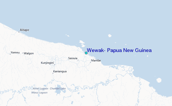