
| Distance / Altitude | Location | Report Date / Time | Live Weather | Wind | Gusts | Temp. | Visibility | Cloud |
|---|---|---|---|---|---|---|---|---|
| 4 km N / 3 m | BUOY-PEGF1 (Marine) | 2026-07-28 00:18 local (2026/07/28 04:18 GMT) | light winds from the SSW (13 km/h at 210) | 27°C | - | |||
| 4 km W / 218 m | Fort Lauderdale/Holly Airport (Florida) | 2026-07-27 22:53 local (2026/07/28 02:53 GMT) | Dry and partly cloudy | light winds from the WSW (6 km/h at 250) | 26°C | 16 | few scattered | |
| 5 km NNE / 3 m | SHIP4935 (Marine) | 2026-07-27 22:00 local (2026/07/28 02:00 GMT) | - (- km/h at -) | 26°C | - | |||
| 5 km NNE / 3 m | SHIP1467 (Marine) | 2026-07-27 22:00 local (2026/07/28 02:00 GMT) | - (- km/h at -) | 26°C | - | |||
| 5 km NNE / 15 m | SHIP5625 (Marine) | 2026-07-27 23:00 local (2026/07/28 03:00 GMT) | - (- km/h at -) | — | - km | |||
| 5 km NNE / 15 m | SHIP9041 (Marine) | 2026-07-27 22:00 local (2026/07/28 02:00 GMT) | - (- km/h at -) | — | - km | |||
| 5 km NNE / 3 m | SHIP514 (Marine) | 2026-07-27 23:00 local (2026/07/28 03:00 GMT) | - (- km/h at -) | 26°C | - | |||
| 5 km NNE / 3 m | SHIP367 (Marine) | 2026-07-27 22:00 local (2026/07/28 02:00 GMT) | - (- km/h at -) | 26°C | - | |||
| 5 km NNE / 3 m | SHIP3893 (Marine) | 2026-07-27 23:00 local (2026/07/28 03:00 GMT) | - (- km/h at -) | 26°C | - | |||
| 5 km NNE / 15 m | SHIP7725 (Marine) | 2026-07-28 00:00 local (2026/07/28 04:00 GMT) | - (- km/h at -) | — | - km |
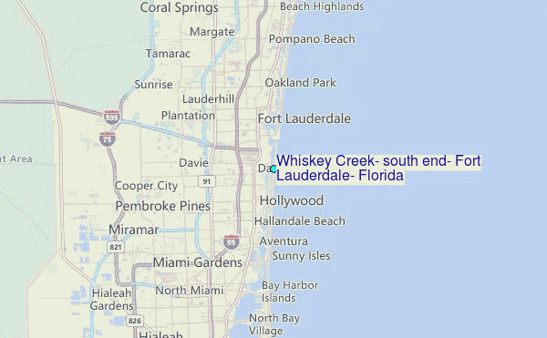
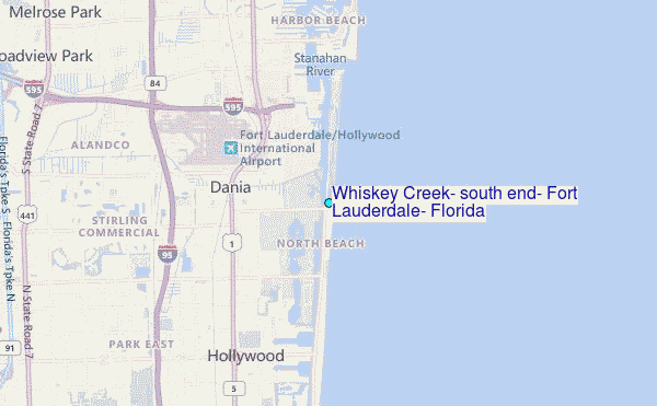
Choose Whiskey Creek, south end, Fort Lauderdale, Florida Location Map Zoom:
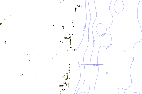
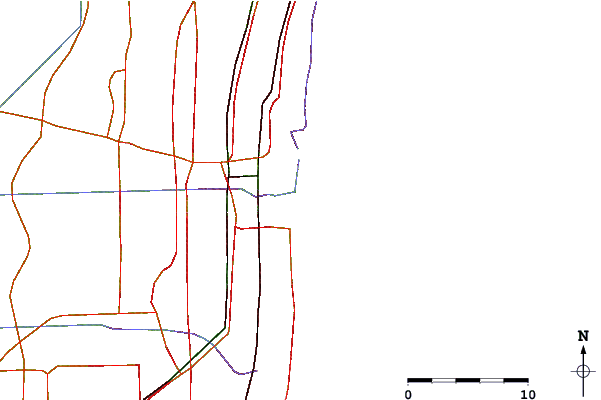
| Contours: | Roads & Rivers: | Select a
tide station / surf break / city |
Use this relief map to navigate to tide stations, surf breaks and cities that are in the area of Whiskey Creek, south end, Fort Lauderdale, Florida.
Other Nearby Locations' tide tables and tide charts to Whiskey Creek, south end, Fort Lauderdale, Florida:
click location name for more details
 Surf breaks close to Whiskey Creek, south end, Fort Lauderdale, Florida:
|
||
|---|---|---|
| Closest surf break | Dania South Beach | 1 mi |
| Second closest surf break | Fort Lauderdale 14th Street | 6 mi |
| Third closest surf break | Dunes Motel | 8 mi |
| Fourth closest surf break | Harbor House | 11 mi |
| Fifth closest surf break | Haulover | 11 mi |


 Nearest
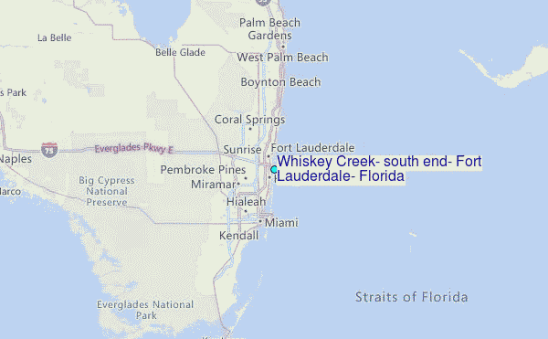