
| Distance / Altitude | Location | Report Date / Time | Live Weather | Wind | Gusts | Temp. | Visibility | Cloud |
|---|---|---|---|---|---|---|---|---|
| 25 km NNE / 3 m | BUOY-GPXA2 (Marine) | 2026-06-23 17:32 local (2026/06/24 01:32 GMT) | light winds from the NNW (11 km/h at 340) | 16°C | - | |||
| 27 km E / 3 m | BUOY-MIXA2 (Marine) | 2026-06-23 17:32 local (2026/06/24 01:32 GMT) | light winds from the S (8 km/h at 170) | 14°C | - | |||
| 33 km N / 3 m | BUOY-PAXA2 (Marine) | 2026-06-23 17:32 local (2026/06/24 01:32 GMT) | light winds from the WNW (8 km/h at 300) | 16°C | - | |||
| 37 km N / 3 m | BUOY-MRNA2 (Marine) | 2026-06-23 17:32 local (2026/06/24 01:32 GMT) | - (0 km/h at -) | 20°C | - | |||
| 38 km N / 3 m | BUOY-PBPA2 (Marine) | 2026-06-23 17:10 local (2026/06/24 01:10 GMT) | - (0 km/h at -) | 17°C | - | |||
| 44 km NW / 3 m | BUOY-SCXA2 (Marine) | 2026-06-23 17:32 local (2026/06/24 01:32 GMT) | light winds from the N (17 km/h at 350) | 15°C | - | |||
| 45 km S / 210 m | Angoon Seaplane Base Airport (United States) | 2026-06-23 15:56 local (2026/06/23 23:56 GMT) | Haze - | calm (0 km/h at 0) | 16°C | 8 | few overcast - | |
| 46 km NW / 772 m | Eaglecrest Ptarmigan Top CW (United States of America) | 2026-06-23 17:30 local (2026/06/24 01:30 GMT) | dry | - (- km/h at ) | 13°C | - | - - 0 | |
| 48 km N / 3 m | BUOY-AJXA2 (Marine) | 2026-06-23 17:32 local (2026/06/24 01:32 GMT) | calm (4 km/h at 340) | 18°C | - | |||
| 48 km N / 3 m | BUOY-JNGA2 (Marine) | 2026-06-23 17:32 local (2026/06/24 01:32 GMT) | light winds from the W (8 km/h at 280) | 17°C | - |
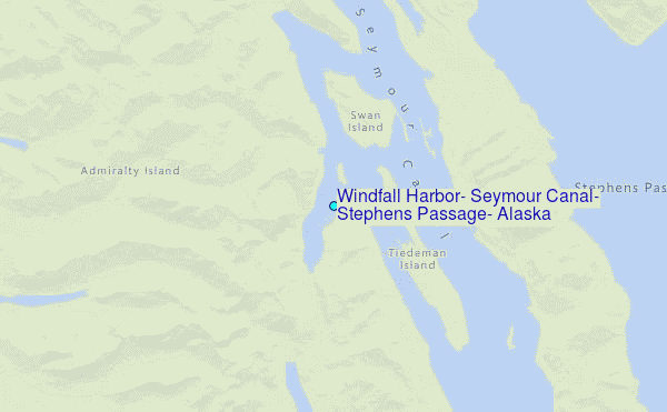
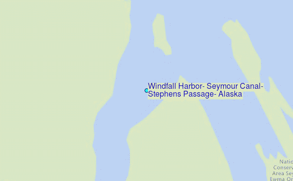
Choose Windfall Harbor, Seymour Canal, Stephens Passage, Alaska Location Map Zoom:
| Contours: | Roads & Rivers: | Select a
tide station / surf break / city |
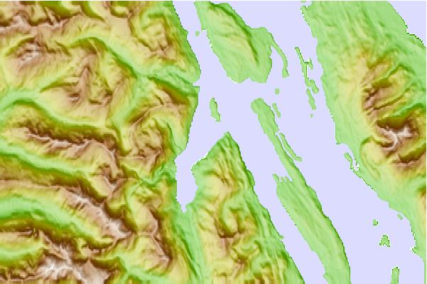
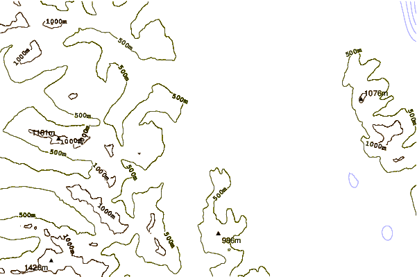
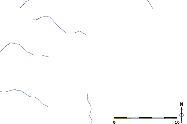
Use this relief map to navigate to tide stations, surf breaks and cities that are in the area of Windfall Harbor, Seymour Canal, Stephens Passage, Alaska.
Other Nearby Locations' tide tables and tide charts to Windfall Harbor, Seymour Canal, Stephens Passage, Alaska:
click location name for more details
 Surf breaks close to Windfall Harbor, Seymour Canal, Stephens Passage, Alaska:
|
||
|---|---|---|
| Closest surf break | Cannon Beach | 227 mi |
| Second closest surf break | Graveyards | 231 mi |
| Third closest surf break | Ocean Cape | 232 mi |
| Fourth closest surf break | Lepus Beach (Haida-Gwaii) | 260 mi |
| Fifth closest surf break | Tow Hill Beach | 278 mi |


 Nearest
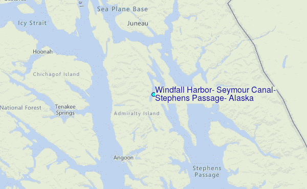