
| Distance / Altitude | Location | Report Date / Time | Live Weather | Wind | Gusts | Temp. | Visibility | Cloud |
|---|---|---|---|---|---|---|---|---|
| 5 km SSE / 3 m | Stingray Point Buoy (Marine) | 2026-06-22 22:54 local (2026/06/23 02:54 GMT) | calm (4 km/h at 290) | 22°C | - | |||
| 11 km WSW / 11 m | lightning 9km SSW of Kilmarnock (United States) | 2026-06-22 22:34 local (2026/06/23 02:34 GMT) | Thunderstorm | (- km/h at -) | — | |||
| 14 km S / 1 m | lightning 21km NE of Gloucester Courthouse (United States) | 2026-06-22 22:06 local (2026/06/23 02:06 GMT) | Thunderstorm | (- km/h at -) | — | |||
| 16 km WSW / 10 m | Hummel Field Airport - Saluda (Virginia) (Virginia) | 2026-06-22 22:35 local (2026/06/23 02:35 GMT) | Dry and cloudy | light winds from the WSW (6 km/h at 240) | 23°C | 16 | broken broken overcast | |
| 25 km ESE / 3 m | BUOY-RPLV2 (Marine) | 2026-06-22 22:48 local (2026/06/23 02:48 GMT) | light winds from the SE (9 km/h at 130) | — | - | |||
| 39 km SW / 22 m | lightning 12km ESE of West Point (United States) | 2026-06-22 22:32 local (2026/06/23 02:32 GMT) | Thunderstorm | (- km/h at -) | — | |||
| 40 km S / 0 m | lightning 16km W of Cape Charles (United States) | 2026-06-22 23:20 local (2026/06/23 03:20 GMT) | Thunderstorm | (- km/h at -) | — | |||
| 40 km W / 34 m | lightning 24km ESE of Tappahannock (United States) | 2026-06-22 20:33 local (2026/06/23 00:33 GMT) | Thunderstorm | (- km/h at -) | — | |||
| 45 km E / 217 m | Melfa/Accomack County Airport (Virginia) | 2026-06-22 22:35 local (2026/06/23 02:35 GMT) | Moderate rain | calm (0 km/h at 0) | 21°C | 11 | broken | |
| 45 km SW / 217 m | West Point Airport (Virginia) | 2026-06-22 22:35 local (2026/06/23 02:35 GMT) | Dry and cloudy | light winds from the SW (6 km/h at 230) | 23°C | 3 | scattered broken overcast |
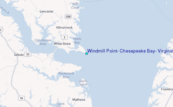
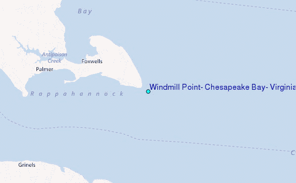
Choose Windmill Point, Chesapeake Bay, Virginia Location Map Zoom:
| Contours: | Roads & Rivers: | Select a
tide station / surf break / city |
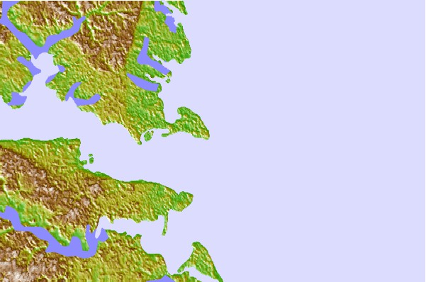

Use this relief map to navigate to tide stations, surf breaks and cities that are in the area of Windmill Point, Chesapeake Bay, Virginia.
Other Nearby Locations' tide tables and tide charts to Windmill Point, Chesapeake Bay, Virginia:
click location name for more details
 Surf breaks close to Windmill Point, Chesapeake Bay, Virginia:
|
||
|---|---|---|
| Closest surf break | Grandview | 36 mi |
| Second closest surf break | Fishermans Island | 40 mi |
| Third closest surf break | North End | 50 mi |
| Fourth closest surf break | 81st Street | 51 mi |
| Fifth closest surf break | 42nd St VA Beach | 53 mi |


 Nearest
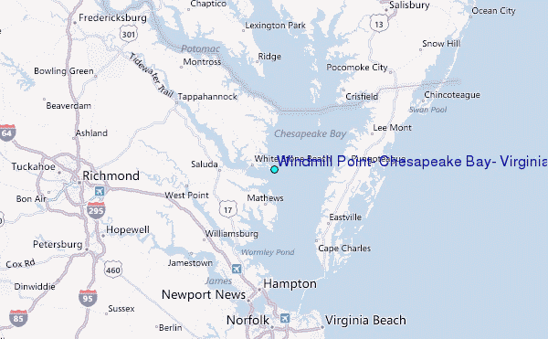