
| Distance / Altitude | Location | Report Date / Time | Live Weather | Wind | Gusts | Temp. | Visibility | Cloud |
|---|---|---|---|---|---|---|---|---|
| 21 km E / 6 m | Charleston Executive Airport (South Carolina) (South Carolina) | 2026-06-18 03:35 local (2026/06/18 07:35 GMT) | Clear | light winds from the SW (11 km/h at 220) | 26°C | 16 | ||
| 26 km SSW / 3 m | BUOY-ACXS1 (Marine) | 2026-06-18 03:45 local (2026/06/18 07:45 GMT) | - (0 km/h at -) | 26°C | - | |||
| 29 km NE / 216 m | Charleston Airport (South Carolina) | 2026-06-18 02:56 local (2026/06/18 06:56 GMT) | Dry and partly cloudy | light winds from the SSW (11 km/h at 200) | 24°C | 16 | scattered | |
| 30 km ENE / 3 m | BUOY-CHTS1 (Marine) | 2026-06-18 04:00 local (2026/06/18 08:00 GMT) | light winds from the SW (13 km/h at 220) | 26°C | - | |||
| 42 km N / 18 m | Summerville Airport (South Carolina) (South Carolina) | 2026-06-18 03:35 local (2026/06/18 07:35 GMT) | Clear | calm (0 km/h at 0) | 23°C | 16 | ||
| 46 km W / 31 m | Lowcountry Regional Airport - Walterboro (South Carolina) (South Carolina) | 2026-06-18 03:35 local (2026/06/18 07:35 GMT) | Clear | light winds from the SW (7 km/h at 220) | 23°C | 16 | ||
| 47 km ENE / 4 m | Mount Pleasant Regional Airport-Faison Field (South Carolina) (South Carolina) | 2026-06-18 03:35 local (2026/06/18 07:35 GMT) | Clear | calm (0 km/h at 0) | 26°C | 14 | ||
| 49 km S / 3 m | BUOY-41033 (Marine) | 2026-06-18 03:08 local (2026/06/18 07:08 GMT) | light winds from the SSW (18 km/h at 210) | 28°C | - | |||
| 49 km S / 3 m | BUOY-41067 (Marine) | 2026-06-18 03:20 local (2026/06/18 07:20 GMT) | - (- km/h at -) | — | - | |||
| 53 km SW / 219 m | Beaufort Marine Corps Air Station Airport (South Carolina) | 2026-06-18 02:56 local (2026/06/18 06:56 GMT) | Clear | light winds from the SSW (11 km/h at 210) | 26°C | 16 |
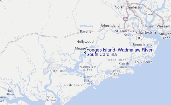
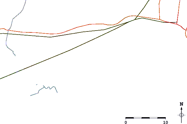
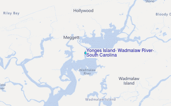
Choose Yonges Island, Wadmalaw River, South Carolina Location Map Zoom:
| Contours: | Roads & Rivers: | Select a
tide station / surf break / city |
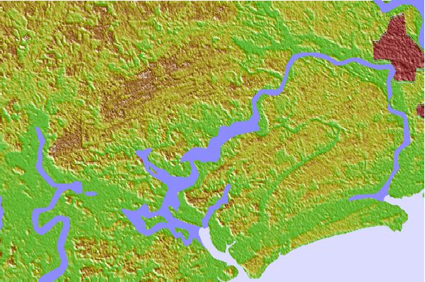

Use this relief map to navigate to tide stations, surf breaks and cities that are in the area of Yonges Island, Wadmalaw River, South Carolina.
Other Nearby Locations' tide tables and tide charts to Yonges Island, Wadmalaw River, South Carolina:
click location name for more details
 Surf breaks close to Yonges Island, Wadmalaw River, South Carolina:
|
||
|---|---|---|
| Closest surf break | Edisto Beach | 14 mi |
| Second closest surf break | Folly Beach Pier | 17 mi |
| Third closest surf break | Folly Beach | 17 mi |
| Fourth closest surf break | The Washout | 19 mi |
| Fifth closest surf break | Berts Bar | 23 mi |


 Nearest
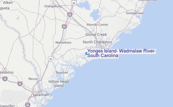