
| Distance / Altitude | Location | Report Date / Time | Live Weather | Wind | Gusts | Temp. | Visibility | Cloud |
|---|---|---|---|---|---|---|---|---|
| 61 km NE / 15 m | SHIP2380 (Marine) | 2026-07-10 02:00 local (2026/07/09 17:00 GMT) | moderate winds from the SSW (25.2 km/h at 200) | 20°C | - km | |||
| 61 km NE / 3 m | BUOY-22106 South Korea (Marine) | 2026-07-10 04:00 local (2026/07/09 19:00 GMT) | fresh winds from the SSW (32 km/h at 200) | 21°C | - | |||
| 64 km WSW / 201 m | Taegu Airport (Korea) | 2026-07-10 03:00 local (2026/07/09 18:00 GMT) | Dry and partly cloudy | calm (4 km/h at 340) | 25°C | 10.0 | scattered broken | |
| 67 km SSW / 84 m | Miryang Airport (South Korea) | 2026-07-10 03:40 local (2026/07/09 18:40 GMT) | Haze - | wind obs. (6 kph from 140 degs) was rejected (- km/h at -) | 25°C | 9.0 | broken | |
| 89 km WSW / 52 m | Gumi RWS Airport (South Korea) | 2026-07-10 03:40 local (2026/07/09 18:40 GMT) | - | light winds from the S (9 km/h at 170) | 25°C | 10.0 | few few | |
| 61 km NE / 15 m | SHIP1431 (Marine) | 2026-07-10 04:00 local (2026/07/09 19:00 GMT) | fresh winds from the SSW (32.4 km/h at 200) | 20°C | - km | |||
| 64 km WSW / 201 m | Taegu Airport (Korea) | 2026-07-10 03:00 local (2026/07/09 18:00 GMT) | Dry and partly cloudy | calm (4 km/h at 340) | 25°C | 10.0 | scattered broken | |
| 67 km SSW / 84 m | Miryang Airport (South Korea) | 2026-07-10 03:40 local (2026/07/09 18:40 GMT) | Haze - | wind obs. (6 kph from 140 degs) was rejected (- km/h at -) | 25°C | 9.0 | broken | |
| 89 km WSW / 52 m | Gumi RWS Airport (South Korea) | 2026-07-10 03:40 local (2026/07/09 18:40 GMT) | - | light winds from the S (9 km/h at 170) | 25°C | 10.0 | few few | |
| 100 km S / 207 m | Pusan/Kimhae International Airport (Korea) | 2026-07-10 03:43 local (2026/07/09 18:43 GMT) | Dry and partly cloudy | light winds from the S (6 km/h at 180) | 25°C | 10.0 | few broken broken |
| Contours: | Roads & Rivers: | Select a
tide station / surf break / city |
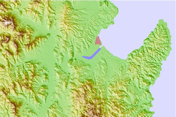
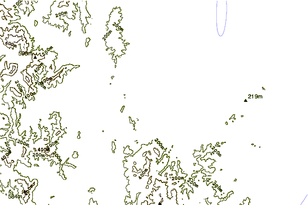
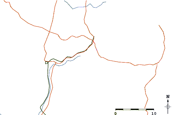
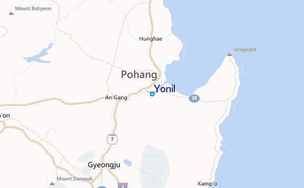
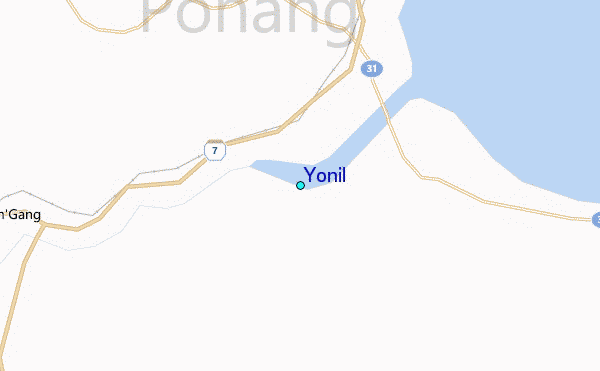
Use this relief map to navigate to tide stations, surf breaks and cities that are in the area of Yonil.
Other Nearby Locations' tide tables and tide charts to Yonil:
click location name for more details
 Surf breaks close to Yonil:
|
||
|---|---|---|
| Closest surf break | Busan (Haeundae Beach) | 58 mi |
| Second closest surf break | Gyongpo Beach | 128 mi |
| Third closest surf break | Jumunjin | 134 mi |
| Fourth closest surf break | Ingu Beach | 142 mi |
| Fifth closest surf break | 38 Line | 143 mi |


 Nearest
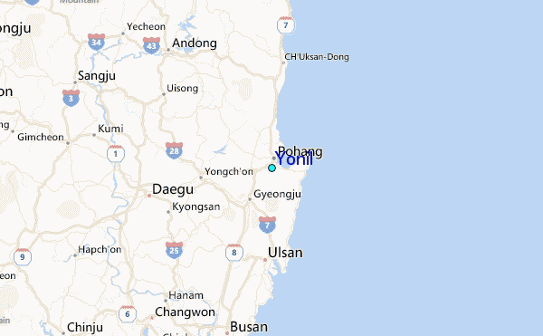