
| Distance / Altitude | Location | Report Date / Time | Live Weather | Wind | Gusts | Temp. | Visibility | Cloud |
|---|---|---|---|---|---|---|---|---|
| 7 km E / 216 m | Sand Point Airport (Alaska) | 2026-06-30 11:29 local (2026/06/30 19:29 GMT) | Light rain | light winds from the NE (7 km/h at 40) | 9°C | 16 | broken broken overcast | |
| 7 km E / 3 m | BUOY-SNDA2 (Marine) | 2026-06-30 12:00 local (2026/06/30 20:00 GMT) | light winds from the ENE (17 km/h at 70) | 9°C | - | |||
| 83 km NW / 3 m | BUOY-NLXA2 (Marine) | 2026-06-30 12:32 local (2026/06/30 20:32 GMT) | moderate winds from the SE (26 km/h at 130) | 10°C | - | |||
| 108 km SW / 47 m | King Cove Airport (Alabama) (Alaska) | 2026-06-30 10:56 local (2026/06/30 18:56 GMT) | Dry and cloudy | moderate winds from the ENE (24 km/h at 60) | 9°C | 16 | overcast | |
| 113 km SW / 3 m | BUOY-KCXA2 (Marine) | 2026-06-30 12:32 local (2026/06/30 20:32 GMT) | light winds from the E (17 km/h at 100) | 9°C | - | |||
| 113 km SW / 3 m | BUOY-KGCA2 (Marine) | 2026-06-30 12:00 local (2026/06/30 20:00 GMT) | light winds from the ENE (13 km/h at 60) | 10°C | - | |||
| 122 km NNE / 3 m | BUOY-CPSA2 (Marine) | 2026-06-30 12:32 local (2026/06/30 20:32 GMT) | light winds from the ENE (11 km/h at 70) | 14°C | - | |||
| 134 km WSW / 161 m | Cold Bay Airport (Alaska) | 2026-06-30 10:53 local (2026/06/30 18:53 GMT) | Dry and cloudy | moderate winds from the SSE (28 km/h at 150) | 10°C | 16 | scattered overcast | |
| 155 km S / 3 m | Shumagin Islands Buoy (Marine) | 2026-06-30 12:10 local (2026/06/30 20:10 GMT) | light winds from the SW (18 km/h at 220) | 9°C | - | |||
| 179 km NE / 212 m | Chignik Bay Airport (Alaska) | 2026-06-30 10:56 local (2026/06/30 18:56 GMT) | Light rain | light winds from the NNE (9 km/h at 30) | 9°C | 16 | overcast |
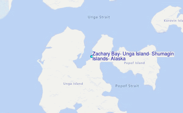
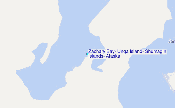
Choose Zachary Bay, Unga Island, Shumagin Islands, Alaska Location Map Zoom:
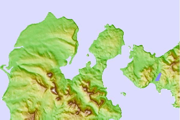
| Contours: | Roads & Rivers: | Select a
tide station / surf break / city |
Use this relief map to navigate to tide stations, surf breaks and cities that are in the area of Zachary Bay, Unga Island, Shumagin Islands, Alaska.
Other Nearby Locations' tide tables and tide charts to Zachary Bay, Unga Island, Shumagin Islands, Alaska:
click location name for more details
 Surf breaks close to Zachary Bay, Unga Island, Shumagin Islands, Alaska:
|
||
|---|---|---|
| Closest surf break | Fossil Beach Kodiak | 347 mi |
| Second closest surf break | Monashka Bay | 356 mi |
| Third closest surf break | Termination Point | 357 mi |
| Fourth closest surf break | Mill Bay | 359 mi |
| Fifth closest surf break | Bird Point (Tidal Bore) | 502 mi |


 Nearest
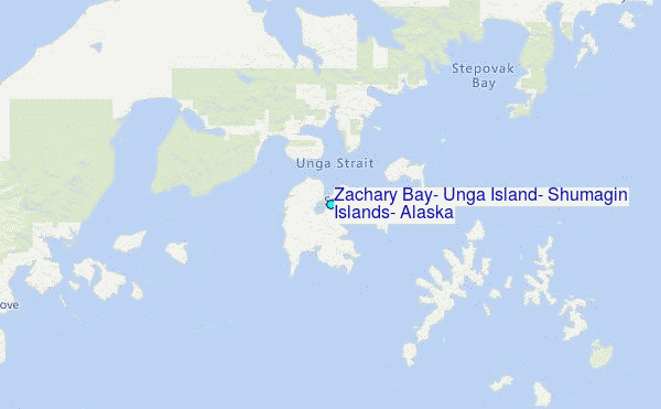