
| Distance / Altitude | Location | Report Date / Time | Live Weather | Wind | Gusts | Temp. | Visibility | Cloud |
|---|---|---|---|---|---|---|---|---|
| 32 km W / 217 m | Port Hardy Airport (British Columbia) | 2026-05-25 01:00 local (2026/05/25 08:00 GMT) | Dry and cloudy | fresh winds from the SE (35 km/h at 130) | 10°C | 16 | broken broken overcast | |
| 33 km W / 18 m | PortHardyUa- BC (Canada) | 2026-05-25 02:00 local (2026/05/25 09:00 GMT) | no report | fresh winds from the SE (30 km/h at 130) | 8°C | 36 km | - mostly cloudy - | |
| 61 km WNW / 216 m | Herbert Island Airport (British Columbia) | 2026-05-25 01:00 local (2026/05/25 08:00 GMT) | - | near gales from the SE (57 km/h at 130) | 11°C | 0.0 | ||
| 63 km WNW / 13 m | HerbertIsland(Aut)- BC (Canada) | 2026-05-25 02:00 local (2026/05/25 09:00 GMT) | - | near gales from the ESE (59 km/h at 120) | 11°C | - | no observation | |
| 69 km ESE / 77 m | Fanny Island (Canada) | 2026-05-25 02:00 local (2026/05/25 09:00 GMT) | - | moderate winds from the SE (20 km/h at 130) | 11°C | - | no observation | |
| 87 km SSW / 216 m | Solander Island Airport (British Columbia) | 2026-05-25 01:00 local (2026/05/25 08:00 GMT) | - | stormy winds from the ESE (96 km/h at 120) | 9°C | 0.0 | ||
| 89 km SSW / 94 m | Solander Island (Aut)- BC (Canada) | 2026-05-24 23:00 local (2026/05/25 06:00 GMT) | no report | strong winds from the N (40 km/h at 350) | 11°C | - | - | |
| 107 km ESE / 15 m | SHIP7676 (Marine) | 2026-05-25 02:00 local (2026/05/25 09:00 GMT) | - (- km/h at -) | — | - km | |||
| 111 km SSW / - m | SHIP1563 (ocean) | 2026-05-25 00:00 local (2026/05/25 07:00 GMT) | - | near gales from the ESE (61 km/h at 120) | — | - | no observation | |
| 111 km SSW / - m | SHIP388 (ocean) | 2026-05-25 01:00 local (2026/05/25 08:00 GMT) | - | near gales from the ESE (54 km/h at 120) | — | - | no observation |
| Contours: | Roads & Rivers: | Select a
tide station / surf break / city |
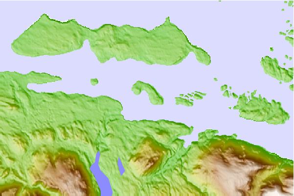
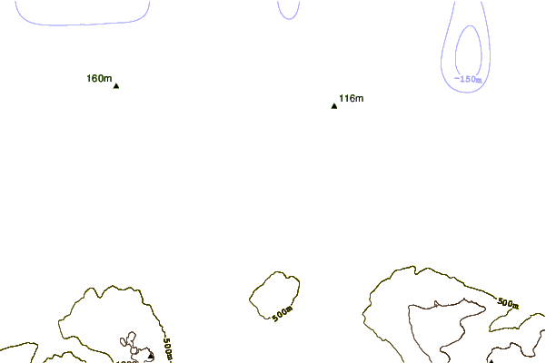
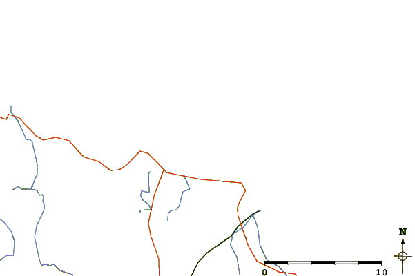
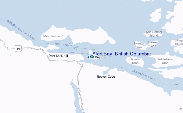
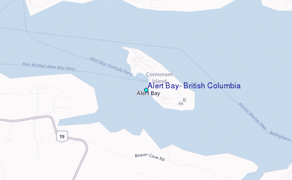
Use this relief map to navigate to tide stations, surf breaks and cities that are in the area of Alert Bay, British Columbia.
Other Nearby Locations' tide tables and tide charts to Alert Bay, British Columbia:
click location name for more details
 Surf breaks close to Alert Bay, British Columbia:
|
||
|---|---|---|
| Closest surf break | Nootka Island (Calvin Bay) | 64 mi |
| Second closest surf break | Tofino (North Chestermans Beach) | 111 mi |
| Third closest surf break | South Chesterman Beach | 112 mi |
| Fourth closest surf break | Cox Bay | 112 mi |
| Fifth closest surf break | Rosie's Bay | 112 mi |


 Nearest
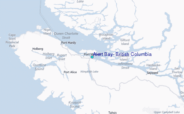