
| Distance / Altitude | Location | Report Date / Time | Live Weather | Wind | Gusts | Temp. | Visibility | Cloud |
|---|---|---|---|---|---|---|---|---|
| 2 km S / 8 m | La Pointe wx (Canada) | 2026-07-06 21:12 local (2026/07/07 00:12 GMT) | dry | calm (2 km/h at 0) | 13°C | - | - - 0 | |
| 2 km NE / 11 m | Cheticamp (Canada) | 2026-07-06 21:31 local (2026/07/07 00:31 GMT) | dry | light winds from the SSE (6 km/h at 154) | 16°C | - | - - 0 | |
| 5 km S / 47 m | Plateau (Canada) | 2026-07-06 21:01 local (2026/07/07 00:01 GMT) | dry | light winds from the SSW (8 km/h at 213) | 17°C | - | - - 0 | |
| 5 km ENE / 14 m | La Prairie wx (Canada) | 2026-07-06 21:31 local (2026/07/07 00:31 GMT) | dry | calm (0 km/h at 0) | 14°C | - | - - 0 | |
| 10 km S / 8 m | Grand Etang Harbour (Canada) | 2026-07-06 21:19 local (2026/07/07 00:19 GMT) | dry | light winds from the SE (13 km/h at 144) | 17°C | - | - - 0 | |
| 10 km S / 41 m | Grand Etang (Canada) | 2026-07-06 21:02 local (2026/07/07 00:02 GMT) | dry | calm (5 km/h at 205) | 15°C | - | - - 0 | |
| 12 km S / 29 m | St. Joseph du Moine (Canada) | 2026-07-06 20:45 local (2026/07/06 23:45 GMT) | dry | - (- km/h at ) | 16°C | - | - - 0 | |
| 12 km S / 188 m | Grand Etang Airport (Nova Scotia) | 2026-07-06 20:00 local (2026/07/06 23:00 GMT) | - | light winds from the S (9 km/h at 190) | 18°C | 0.0 | ||
| 16 km NE / 303 m | Pleasant Bay wx (Canada) | 2026-07-06 21:35 local (2026/07/07 00:35 GMT) | dry | light winds from the SW (6 km/h at 229) | 15°C | - | - - 0 | |
| 17 km S / 31 m | Terre Noire wx (Canada) | 2026-07-06 21:06 local (2026/07/07 00:06 GMT) | dry | light winds from the E (6 km/h at 94) | 14°C | - | - - 0 |
| Contours: | Roads & Rivers: | Select a
tide station / surf break / city |
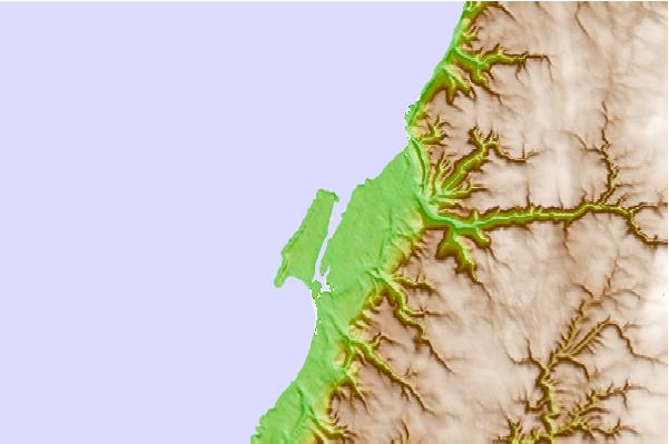
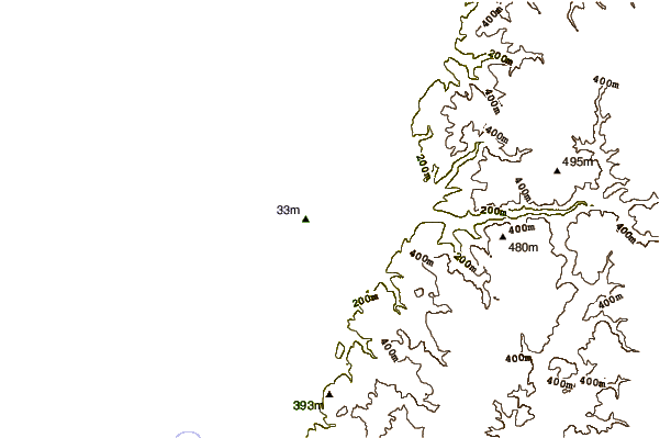
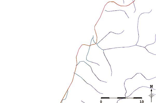
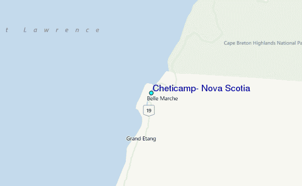
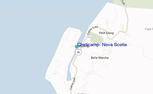
Use this relief map to navigate to tide stations, surf breaks and cities that are in the area of Cheticamp, Nova Scotia.
Other Nearby Locations' tide tables and tide charts to Cheticamp, Nova Scotia:
click location name for more details
 Surf breaks close to Cheticamp, Nova Scotia:
|
||
|---|---|---|
| Closest surf break | Ingonish Beach | 30 mi |
| Second closest surf break | Kennington Cove | 70 mi |
| Third closest surf break | Michaud Point | 75 mi |
| Fourth closest surf break | Martinique | 170 mi |
| Fifth closest surf break | Lawrencetown Left Point | 177 mi |


 Nearest
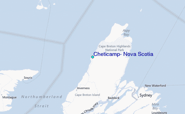