
| Distance / Altitude | Location | Report Date / Time | Live Weather | Wind | Gusts | Temp. | Visibility | Cloud |
|---|---|---|---|---|---|---|---|---|
| 12 km WNW / 215 m | Coral Harbour Airport (N.w. Territories) | 2026-06-01 10:00 local (2026/06/01 14:00 GMT) | Dry and partly cloudy | calm (0 km/h at 0) | 6°C | 24 | few broken | |
| 12 km WNW / 22 m | Coral Harbour Airport (Canada) | 2026-06-01 11:00 local (2026/06/01 15:00 GMT) | no report | - (- km/h at -) | 3°C | - | - - - | |
| 302 km NW / 297 m | Repulse Bay Airport (N.w. Territories) | 2026-06-01 10:00 local (2026/06/01 14:00 GMT) | Dry and partly cloudy | light winds from the N (9 km/h at 360) | 3°C | 24 | broken | |
| 323 km E / 48 m | Cape Dorset A- NU (71366 -0) (Canada) | 2026-06-01 11:00 local (2026/06/01 15:00 GMT) | no report | light winds from the WNW (13 km/h at 290) | 5°C | 36 km | - overcast - | |
| 323 km E / 217 m | Cape Dorset Airport (N.w. Territories) | 2026-06-01 10:00 local (2026/06/01 14:00 GMT) | Dry and partly cloudy | light winds from the W (9 km/h at 270) | 4°C | 24 | broken | |
| 324 km SE / 245 m | Ivujivik Airport (Quebec) | 2026-06-01 10:00 local (2026/06/01 14:00 GMT) | Dry and cloudy | light winds from the SW (17 km/h at 220) | 2°C | 24 | few broken overcast | |
| 355 km WNW / 18 m | Wager Bay (Nunavut) | 2026-06-01 10:00 local (2026/06/01 14:00 GMT) | - | light winds from the SE (9 km/h at 130) | 4°C | 0.0 | ||
| 384 km WSW / 290 m | Chesterfield Airport (N.w. Territories) | 2026-06-01 10:00 local (2026/06/01 14:00 GMT) | Dry and cloudy | light winds from the SE (13 km/h at 130) | 1°C | 24 | overcast | |
| 437 km ESE / 251 m | Salliut Airport (Quebec) | 2026-06-01 10:00 local (2026/06/01 14:00 GMT) | Dry and cloudy | light winds from the W.(Wind varies from 220 to 280 degs) (11 km/h at 270) | 4°C | 24 | few broken overcast | |
| 451 km SE / 285 m | Akulivik Airport (Quebec) | 2026-06-01 10:00 local (2026/06/01 14:00 GMT) | Mist - | light winds from the NNW (15 km/h at 330) | 3°C | 6 | broken overcast |
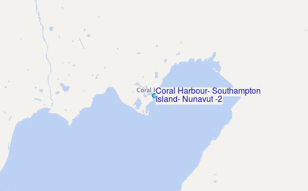
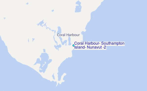
Choose Coral Harbour, Southampton Island, Nunavut (2) Location Map Zoom:
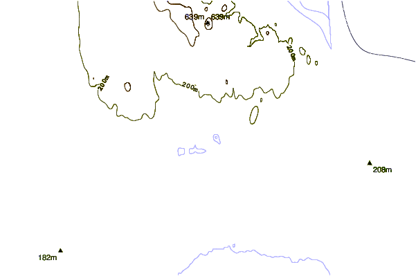
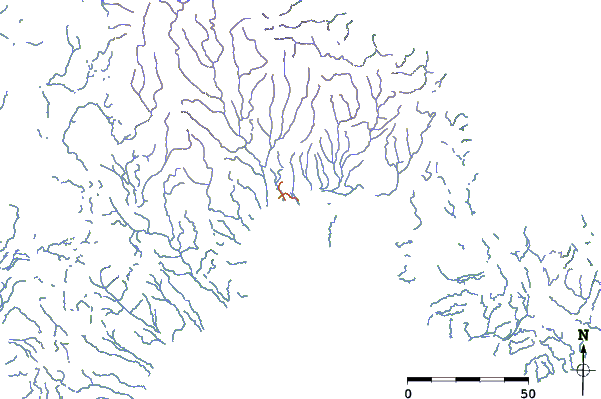
| Contours: | Roads & Rivers: | Select a
tide station / surf break / city |
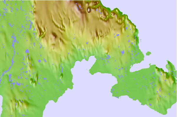
Use this relief map to navigate to tide stations, surf breaks and cities that are in the area of Coral Harbour, Southampton Island, Nunavut (2).
Other Nearby Locations' tide tables and tide charts to Coral Harbour, Southampton Island, Nunavut (2):
click location name for more details
 Surf breaks close to Coral Harbour, Southampton Island, Nunavut (2):
|
||
|---|---|---|
| Closest surf break | Marathon | 1072 mi |
| Second closest surf break | Keweenaw Peninsula | 1168 mi |
| Third closest surf break | Alona Bay | 1175 mi |
| Fourth closest surf break | Apostle Islands | 1211 mi |
| Fifth closest surf break | Au Sable Point | 1212 mi |


 Nearest
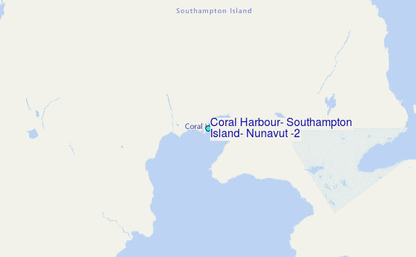