
| Distance / Altitude | Location | Report Date / Time | Live Weather | Wind | Gusts | Temp. | Visibility | Cloud |
|---|---|---|---|---|---|---|---|---|
| 22 km N / 3 m | BUOY-PEXA2 (Marine) | 2026-03-06 18:02 local (2026/03/07 03:02 GMT) | light winds from the S (8 km/h at 170) | 5°C | - | |||
| 47 km N / 3 m | BUOY-ELFA2 (Marine) | 2026-03-06 17:48 local (2026/03/07 02:48 GMT) | - (- km/h at -) | — | - | |||
| 50 km N / 3 m | BUOY-GEXA2 (Marine) | 2026-03-06 18:02 local (2026/03/07 03:02 GMT) | moderate winds from the SSW (22 km/h at 200) | 5°C | - | |||
| 53 km NW / 3 m | BUOY-CSXA2 (Marine) | 2026-03-06 18:02 local (2026/03/07 03:02 GMT) | strong winds from the W (50 km/h at 270) | — | - | |||
| 53 km NW / 3 m | BUOY-CSPA2 (Marine) | 2026-03-06 17:10 local (2026/03/07 02:10 GMT) | - (0 km/h at -) | 5°C | - | |||
| 62 km NE / 213 m | Hoonah Airport (Alaska) | 2026-03-06 16:56 local (2026/03/07 01:56 GMT) | Dry and cloudy | wind obs. (19 kph from 250 degs) was rejected (- km/h at -) | 6°C | 16 | overcast | |
| 63 km E / 3 m | BUOY-TKEA2 (Marine) | 2026-03-06 18:02 local (2026/03/07 03:02 GMT) | light winds from the W (15 km/h at 260) | 5°C | - | |||
| 79 km NNE / 216 m | Gustavus Airport (Alaska) | 2026-03-06 17:23 local (2026/03/07 02:23 GMT) | Dry and partly cloudy | light winds from the SW (15 km/h at 220) | 4°C | 16 | broken | |
| 79 km NNE / 3 m | BUOY-GUXA2 (Marine) | 2026-03-06 18:02 local (2026/03/07 03:02 GMT) | light winds from the SSW (9 km/h at 210) | 4°C | - | |||
| 86 km ENE / 3 m | BUOY-RIXA2 (Marine) | 2026-03-06 18:02 local (2026/03/07 03:02 GMT) | moderate winds from the SSE (22 km/h at 160) | 7°C | - |
| Contours: | Roads & Rivers: | Select a
tide station / surf break / city |
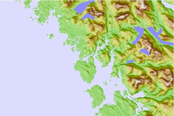
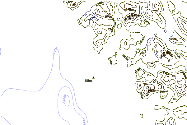
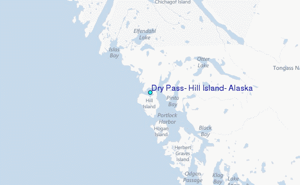
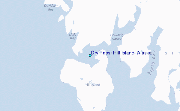
Use this relief map to navigate to tide stations, surf breaks and cities that are in the area of Dry Pass, Hill Island, Alaska.
Other Nearby Locations' tide tables and tide charts to Dry Pass, Hill Island, Alaska:
click location name for more details
 Surf breaks close to Dry Pass, Hill Island, Alaska:
|
||
|---|---|---|
| Closest surf break | Cannon Beach | 173 mi |
| Second closest surf break | Graveyards | 177 mi |
| Third closest surf break | Ocean Cape | 178 mi |
| Fourth closest surf break | Lepus Beach (Haida-Gwaii) | 278 mi |
| Fifth closest surf break | Tow Hill Beach | 308 mi |


 Nearest
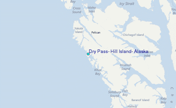