
| Distance / Altitude | Location | Report Date / Time | Live Weather | Wind | Gusts | Temp. | Visibility | Cloud |
|---|---|---|---|---|---|---|---|---|
| 31 km ENE / 6 m | SandspitAirportAuto- BC (Canada) | 2026-04-03 20:00 local (2026/04/04 03:00 GMT) | no report | light winds from the S (7 km/h at 190) | 11°C | - | - no observation - | |
| 31 km ENE / 217 m | Sandspit Airport (British Columbia) | 2026-04-03 21:00 local (2026/04/04 04:00 GMT) | Dry and partly cloudy | light winds from the S (15 km/h at 190) | 6°C | 14 | scattered | |
| 39 km W / 16 m | Kindakun Rocks (Aut)- BC (Canada) | 2026-04-03 21:00 local (2026/04/04 04:00 GMT) | no report | - (- km/h at -) | — | - | - - - | |
| 39 km W / 213 m | Kindakun Rocks Airport (British Columbia) | 2026-04-03 21:00 local (2026/04/04 04:00 GMT) | - | moderate winds from the S (28 km/h at 190) | 7°C | 0.0 | ||
| 45 km ESE / 14 m | Cumshewa Island Airport (Canada) | 2026-04-03 22:00 local (2026/04/04 05:00 GMT) | no report | calm (4 km/h at 160) | 12°C | - | - - - | |
| 47 km ESE / 216 m | Cumshewa Island Airport (British Columbia) | 2026-04-03 21:00 local (2026/04/04 04:00 GMT) | - | moderate winds from the S (28 km/h at 170) | 7°C | 0.0 | ||
| 76 km S / 3 m | West Moresby Buoy (Marine) | 2026-04-03 22:00 local (2026/04/04 05:00 GMT) | fresh winds from the SSW (29 km/h at 200) | 7°C | - | |||
| 78 km S / - m | SHIP349 (ocean) | 2026-04-03 20:00 local (2026/04/04 03:00 GMT) | - | fresh winds from the SSW (29 km/h at 200) | 8°C | - | no observation | |
| 78 km S / - m | SHIP329 (ocean) | 2026-04-03 21:00 local (2026/04/04 04:00 GMT) | - | moderate winds from the SSW (25 km/h at 200) | 8°C | - | no observation | |
| 78 km S / - m | SHIP1202 (ocean) | 2026-04-03 22:00 local (2026/04/04 05:00 GMT) | - | fresh winds from the SSW (29 km/h at 200) | 7°C | - | no observation |
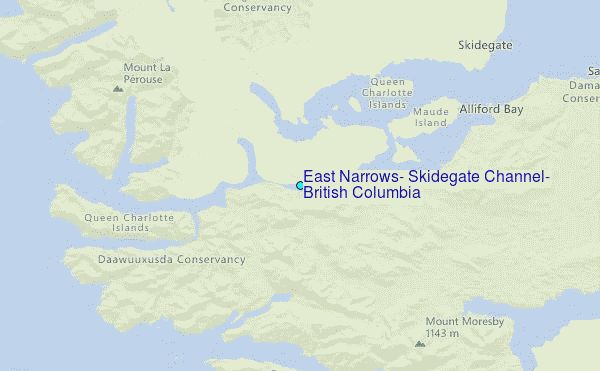
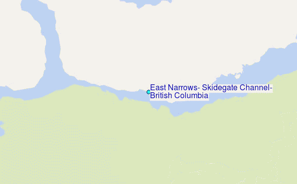
Choose East Narrows, Skidegate Channel, British Columbia Location Map Zoom:
| Contours: | Roads & Rivers: | Select a
tide station / surf break / city |
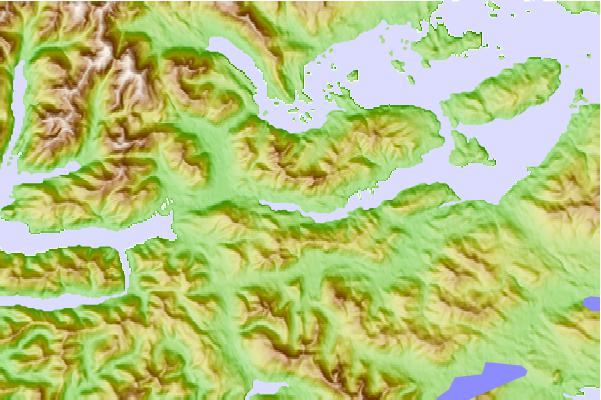
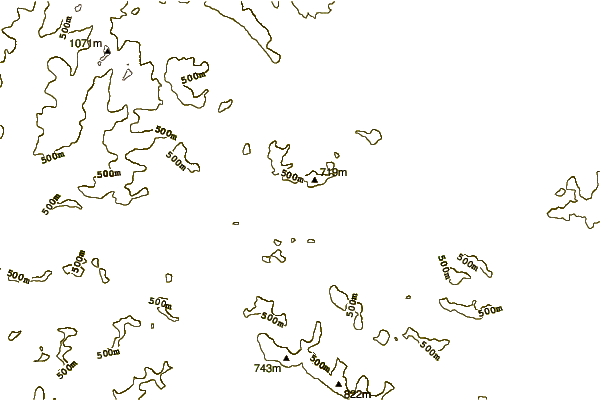
Use this relief map to navigate to tide stations, surf breaks and cities that are in the area of East Narrows, Skidegate Channel, British Columbia.
Other Nearby Locations' tide tables and tide charts to East Narrows, Skidegate Channel, British Columbia:
click location name for more details
 Surf breaks close to East Narrows, Skidegate Channel, British Columbia:
|
||
|---|---|---|
| Closest surf break | Tow Hill Beach | 67 mi |
| Second closest surf break | Lepus Beach (Haida-Gwaii) | 78 mi |
| Third closest surf break | Nootka Island (Calvin Bay) | 336 mi |
| Fourth closest surf break | Tofino (North Chestermans Beach) | 392 mi |
| Fifth closest surf break | South Chesterman Beach | 392 mi |


 Nearest
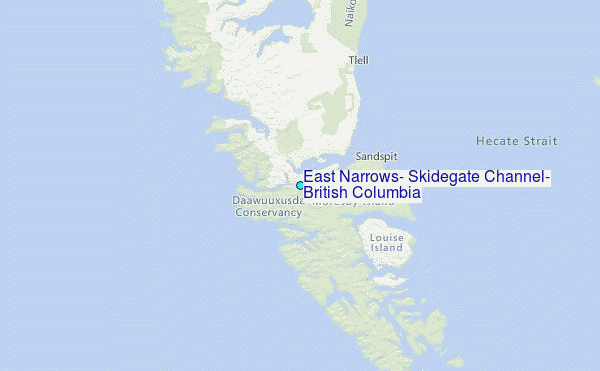